Printable US maps and time zone maps
24 sheets to print or download as PDF, each on US Letter in landscape. The US maps come blank, with state names, with the 50 capitals, with cities, numbered for a quiz, or as an outline of the country. The colour sheets show all six US time zones with their standard and daylight saving offsets; the zone sheets highlight one zone and list its states; the blank maps are for quizzes and classes. Each sheet ends with a link back to its live page. Want to click a state first? Use theinteractive map of the US states or the interactive US time zone map, then print what you need.
Every sheet is free, with no sign-up and no watermark: vector PDFs on US Letter and A4, many in black and white too, with answer keys on the quiz maps. They are licensed underCC BY 4.0, so teachers, libraries and websites can copy, adapt and share them with credit to US Time Zone Map.
US maps: states, capitals, cities and outline
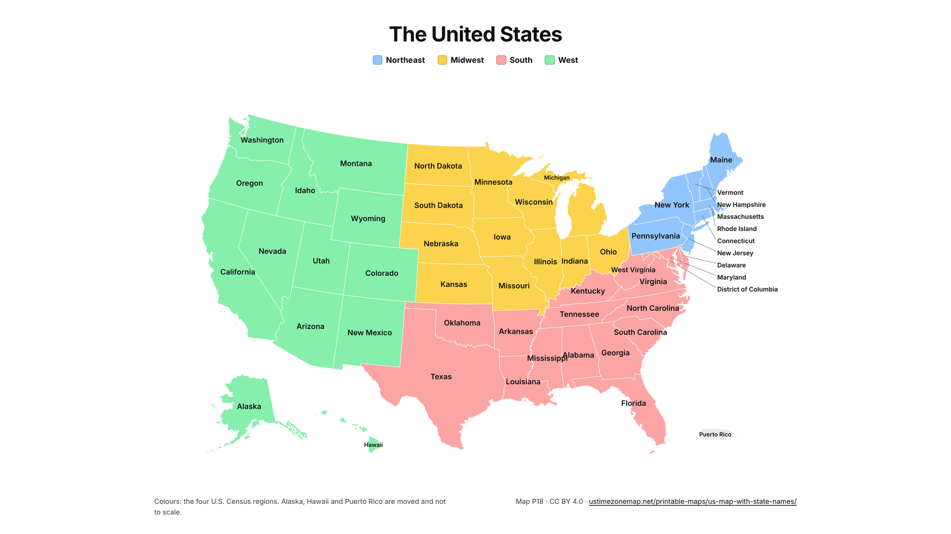
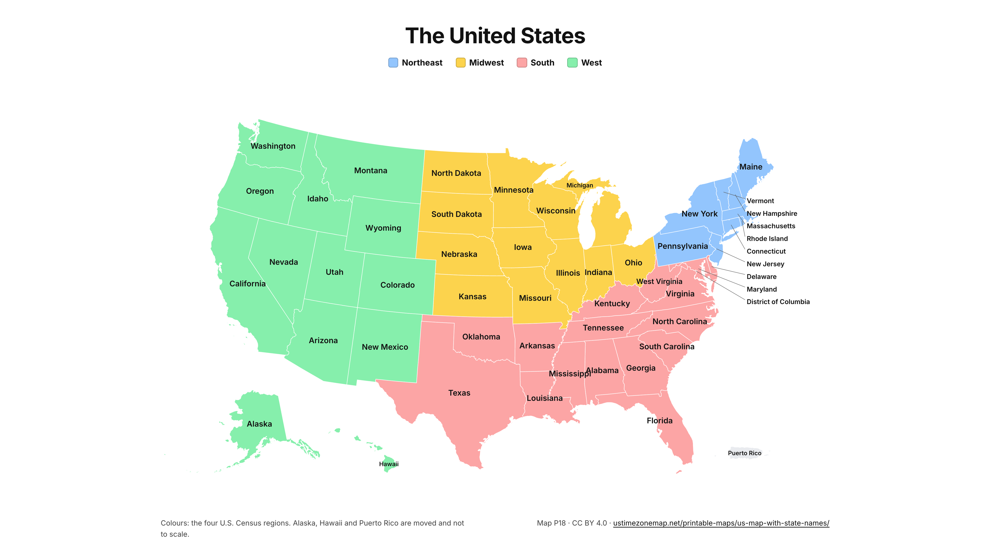
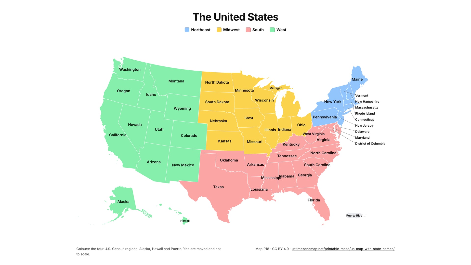
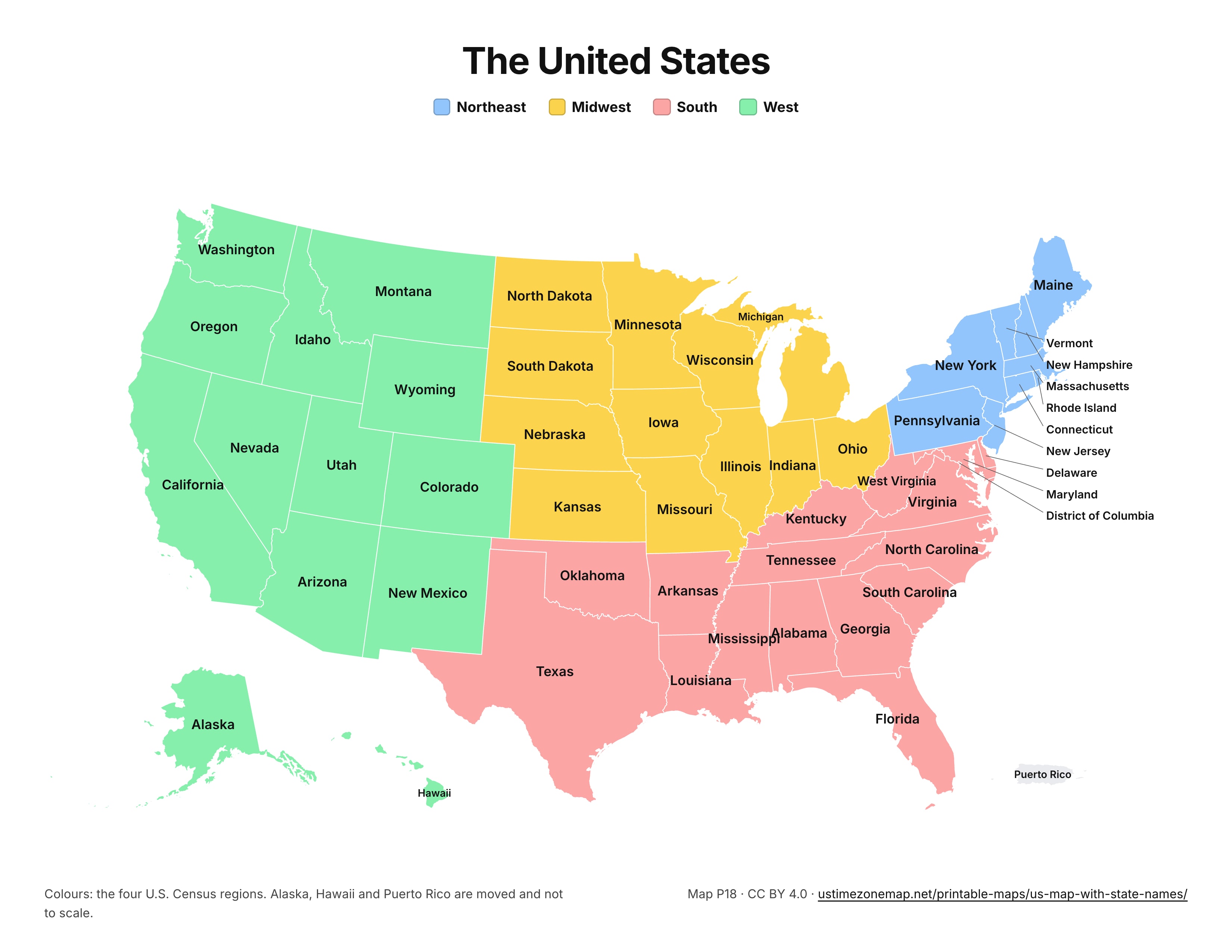
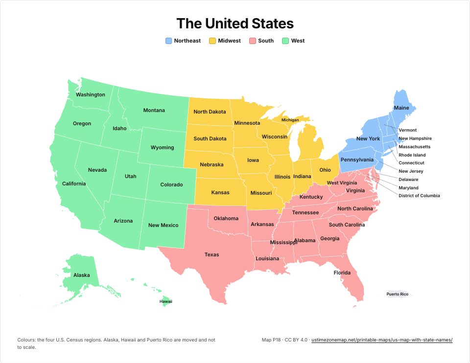 Printable US map with state namesP18 · PDFImages: PNG 1080p · PNG 4K · JPG 1080p · Print JPG 300 dpi
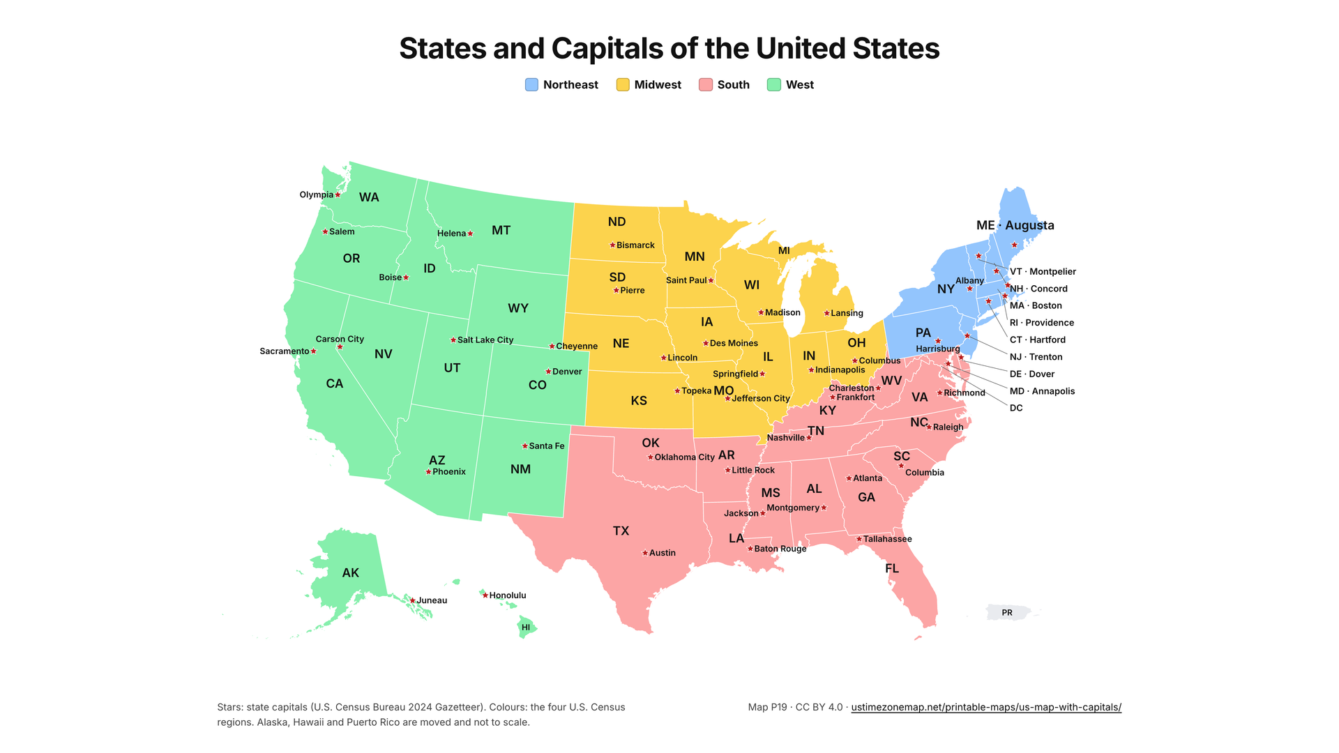
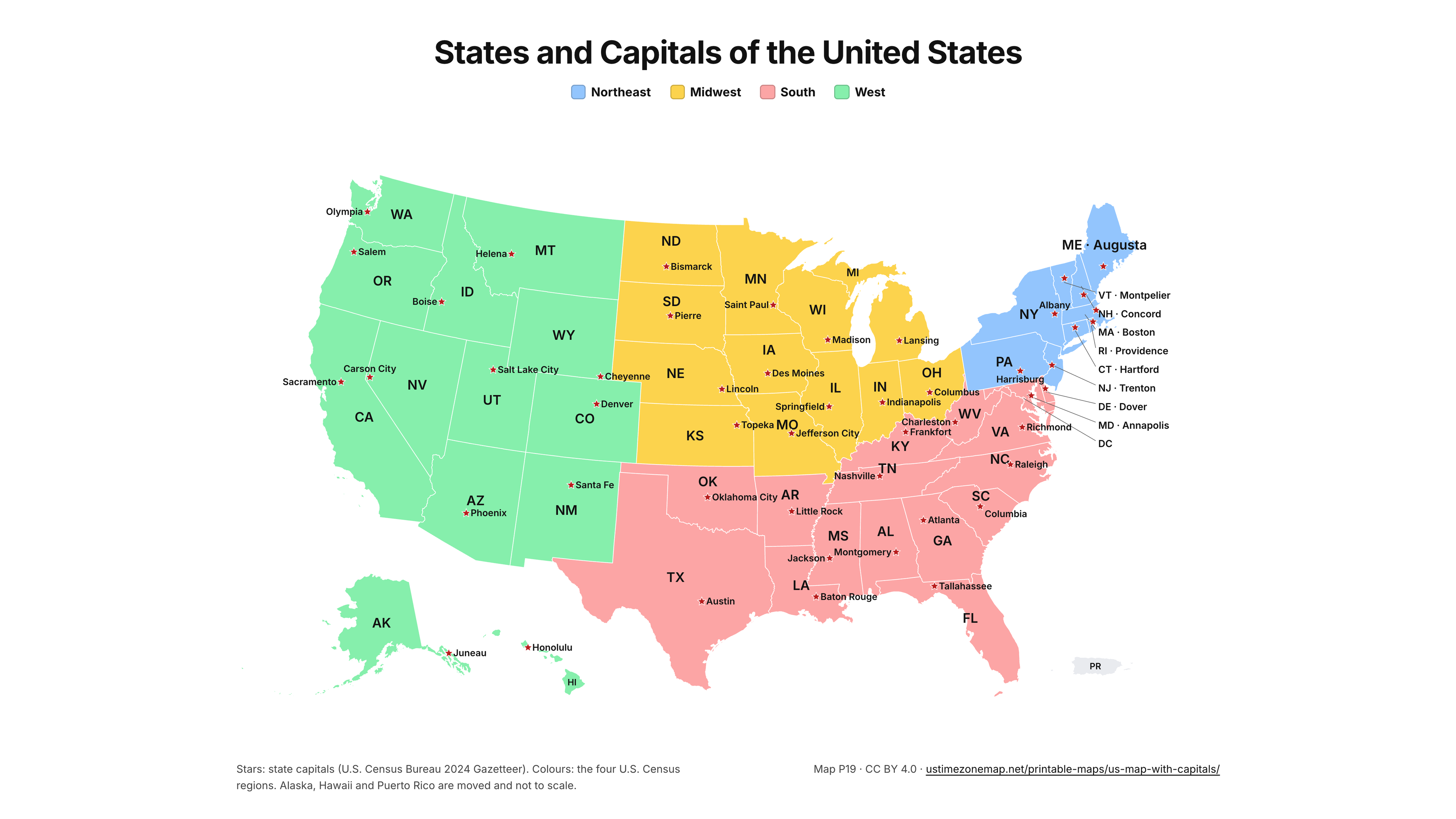
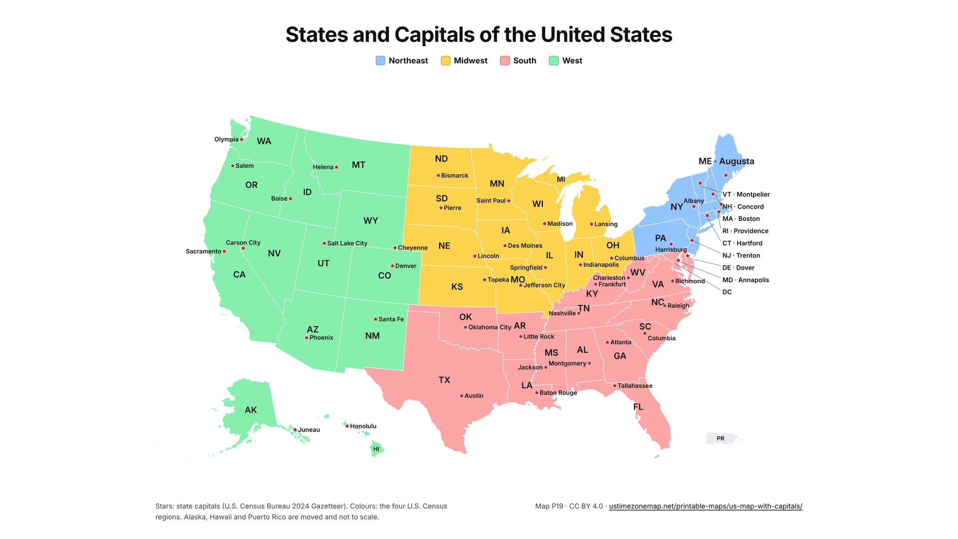
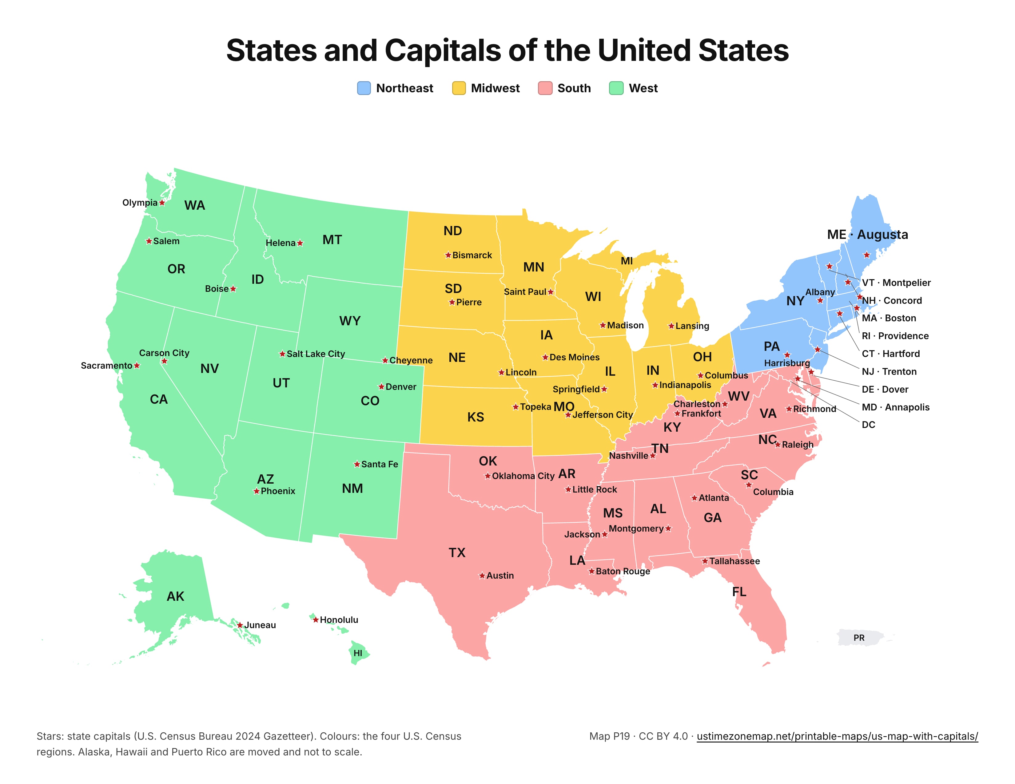
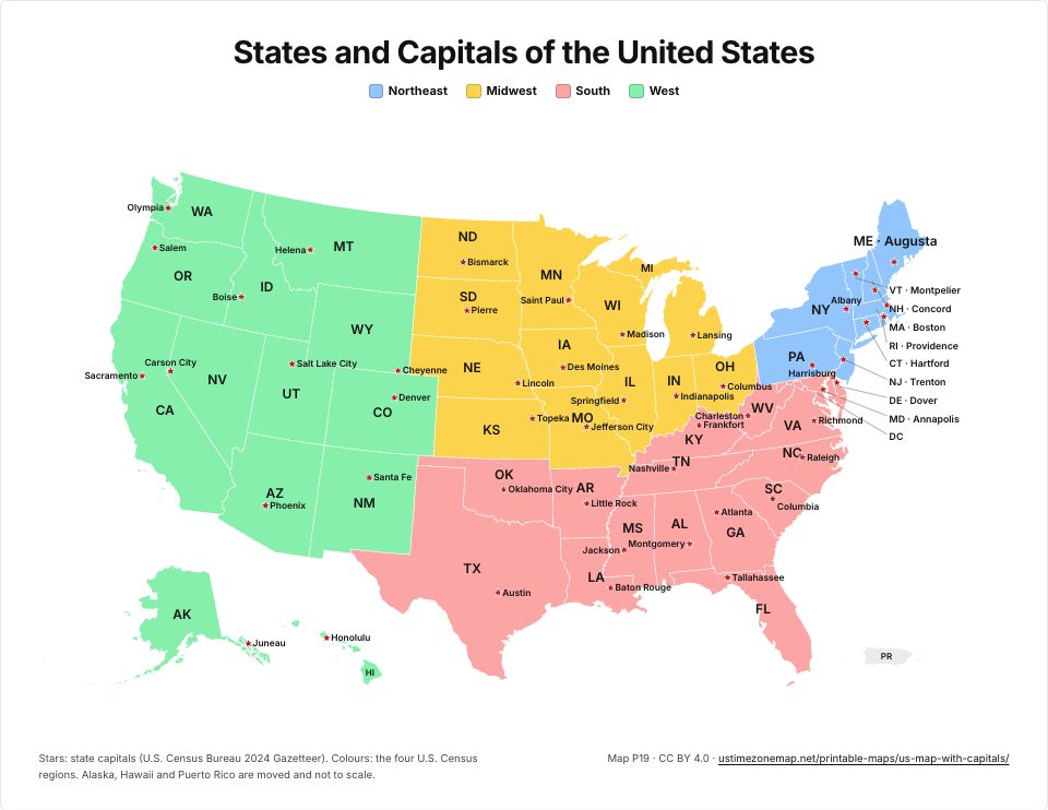 Printable US map with state capitalsP19 · PDFImages: PNG 1080p · PNG 4K · JPG 1080p · Print JPG 300 dpi
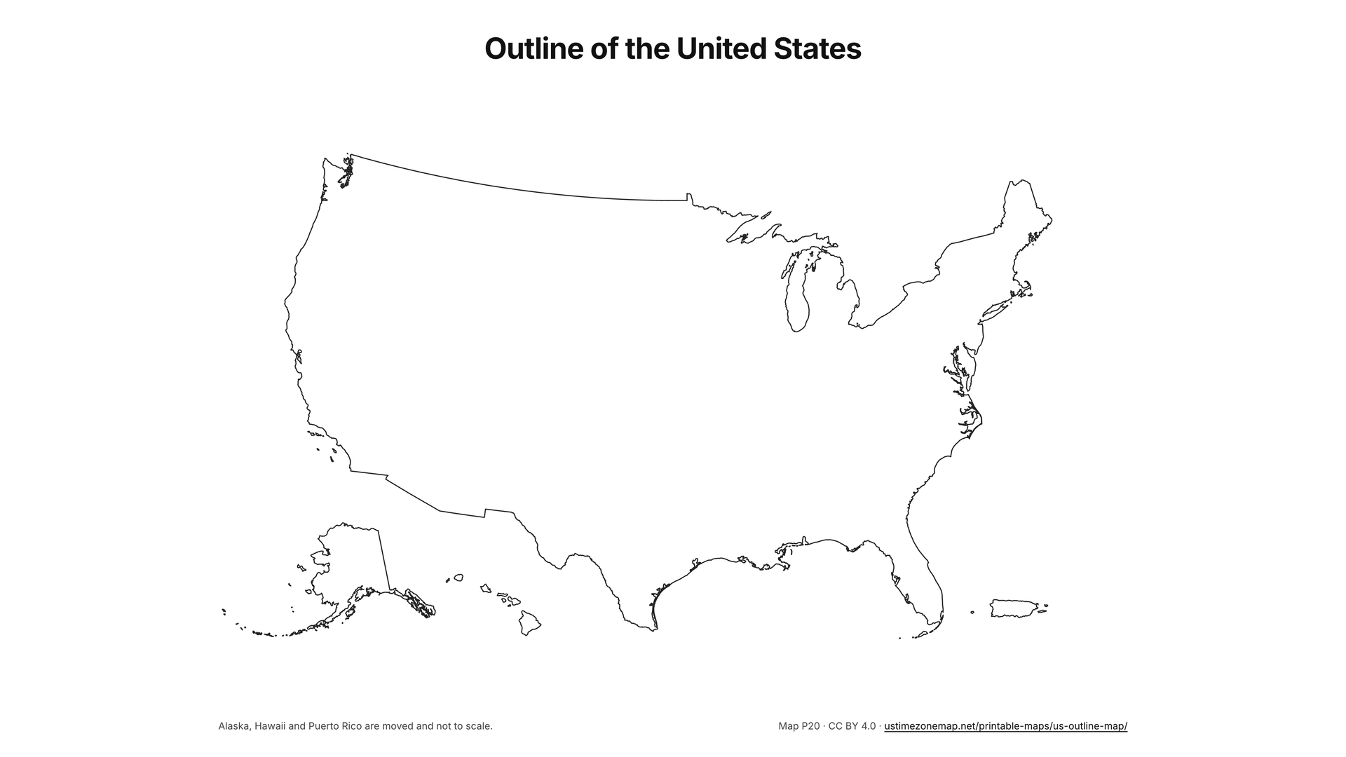
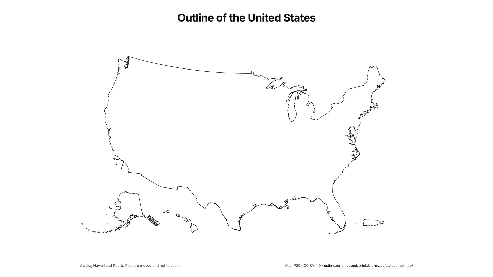
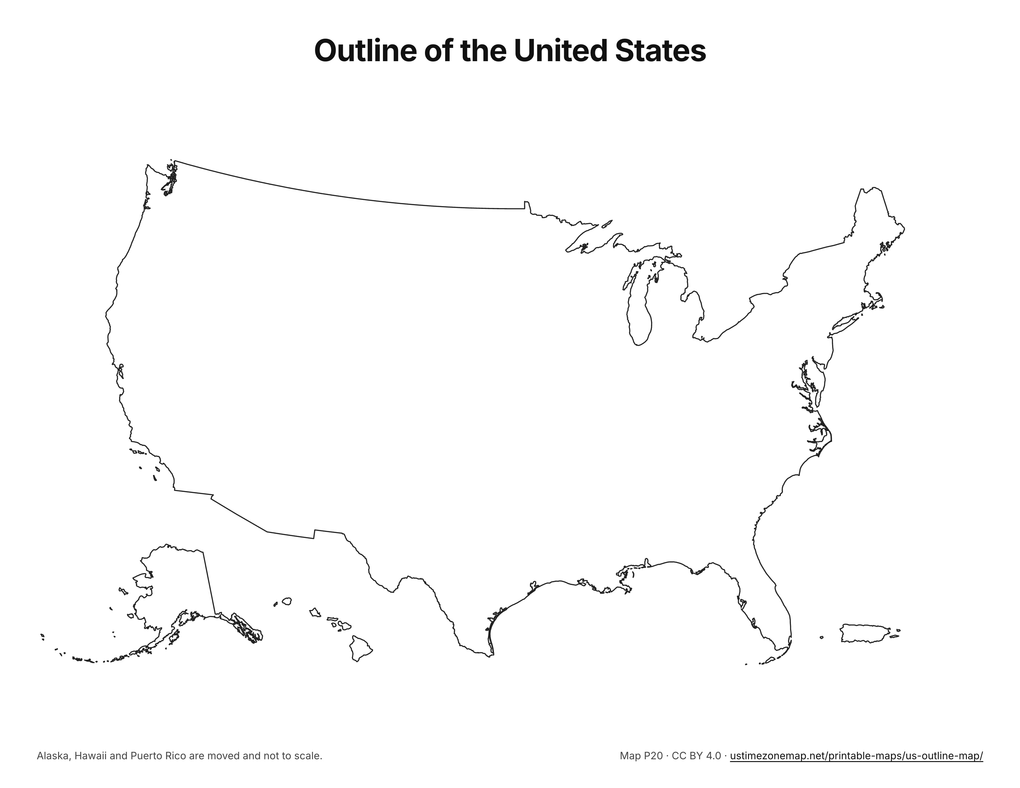
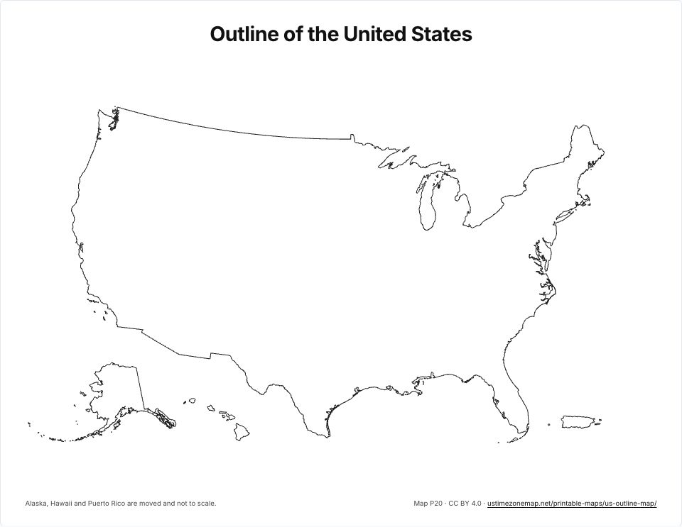 US outline mapP20 · PDFImages: PNG 1080p · PNG 4K · JPG 1080p · Print JPG 300 dpi
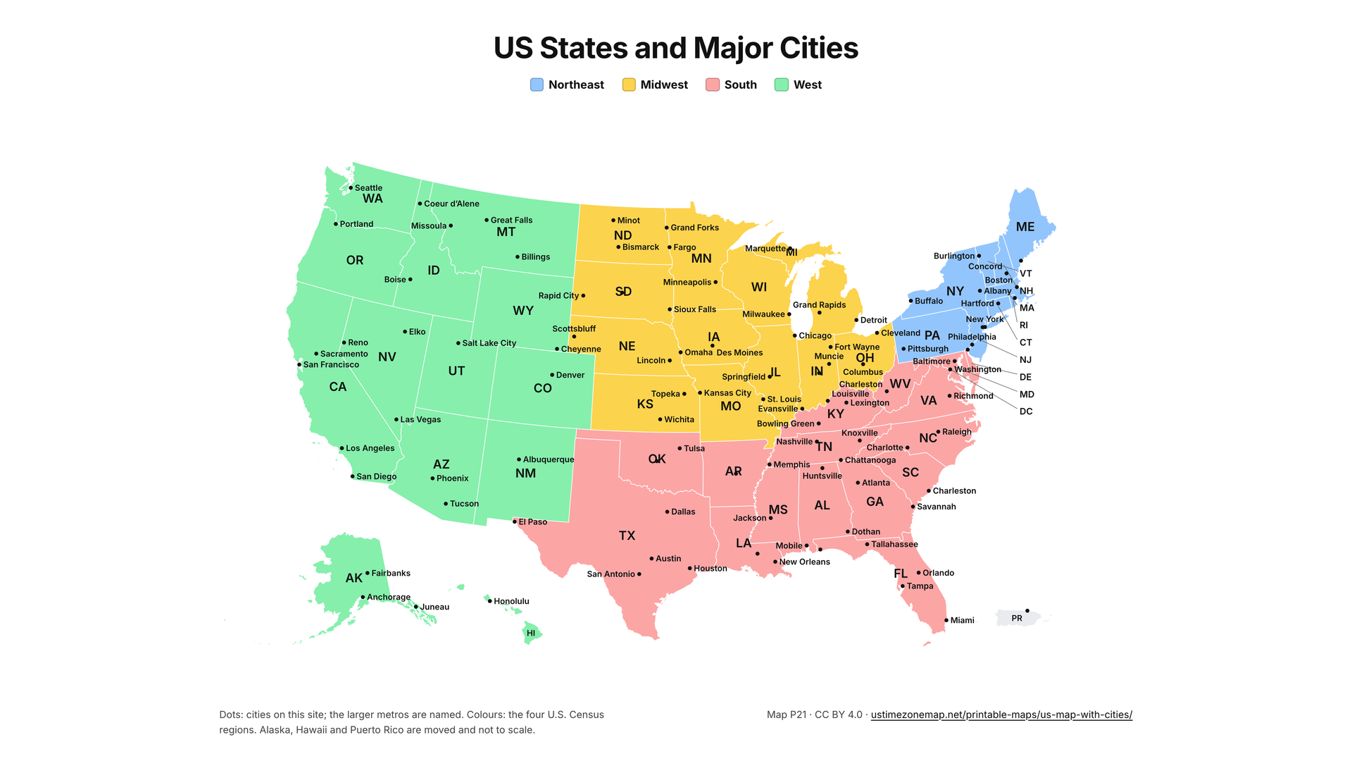
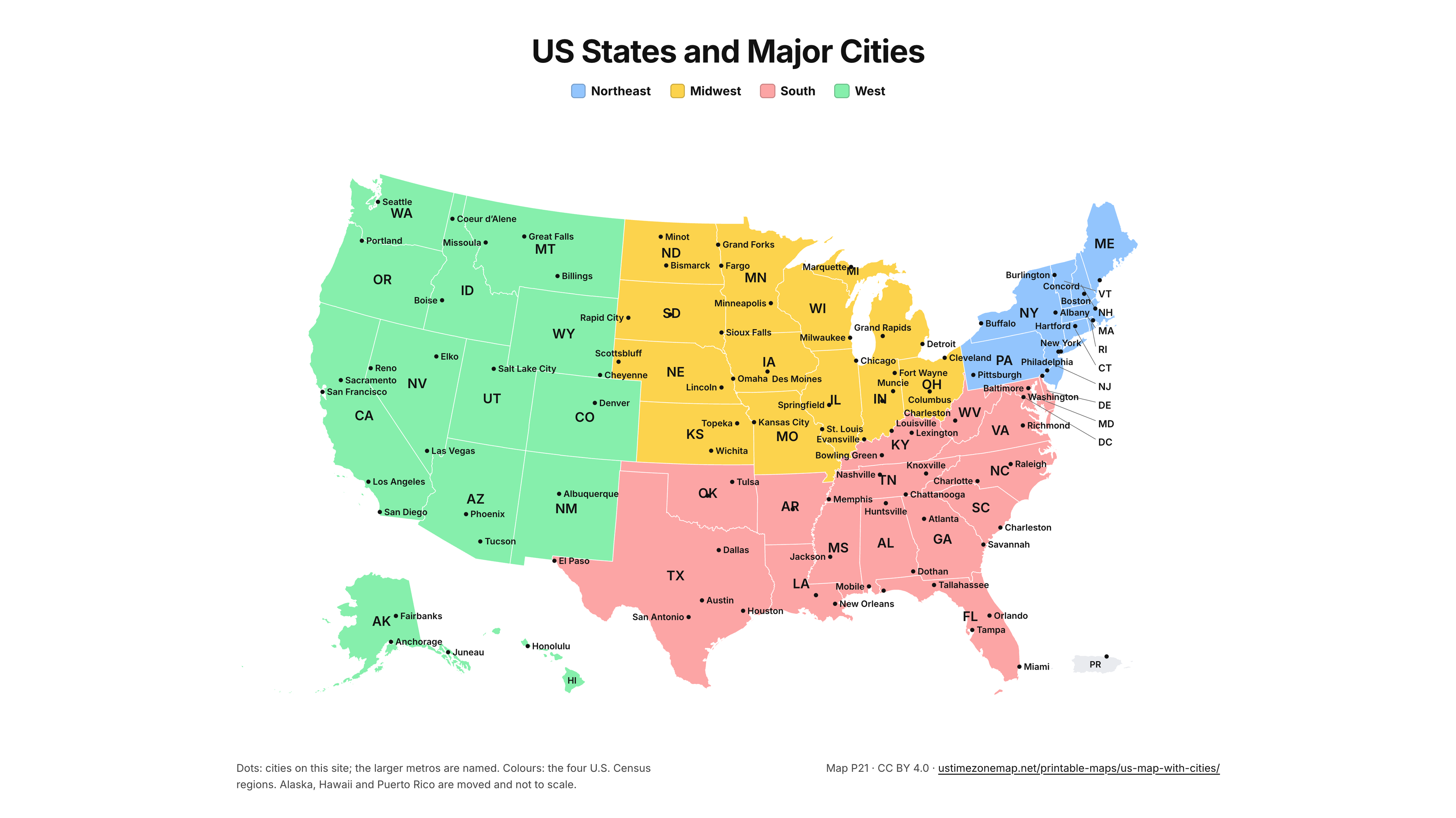
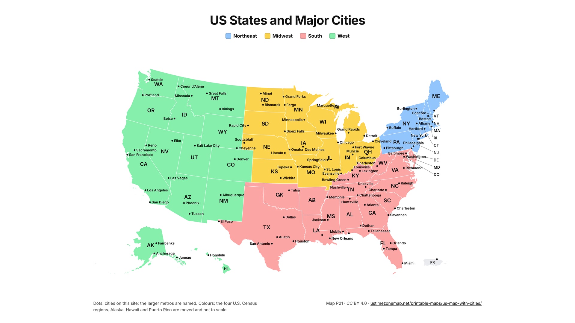
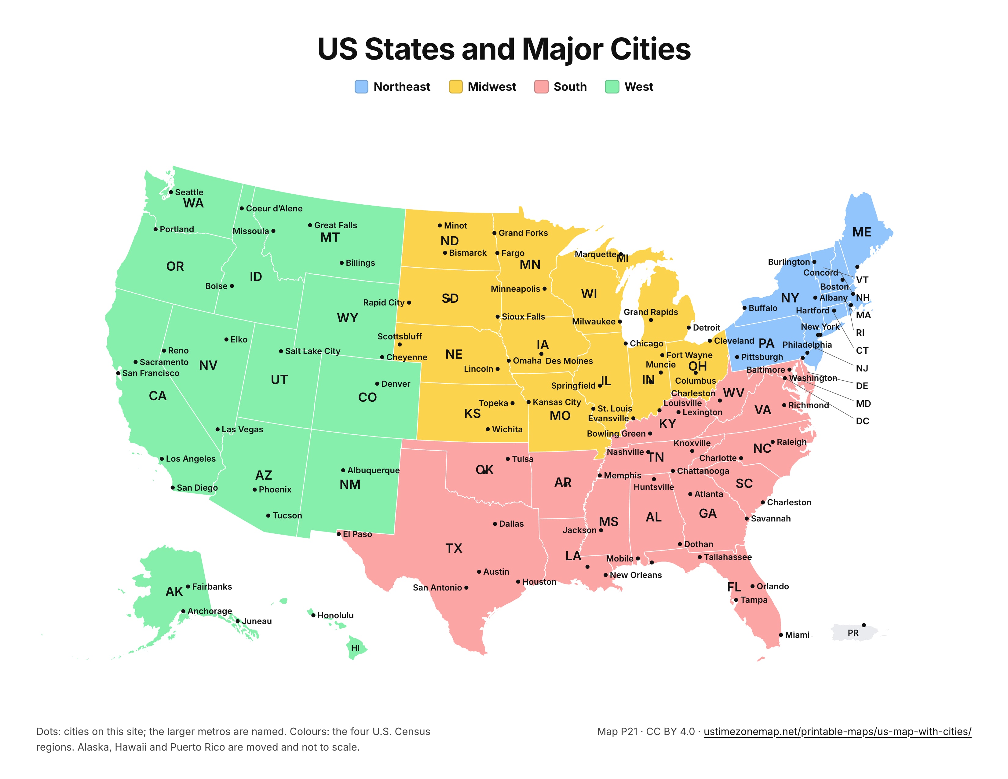
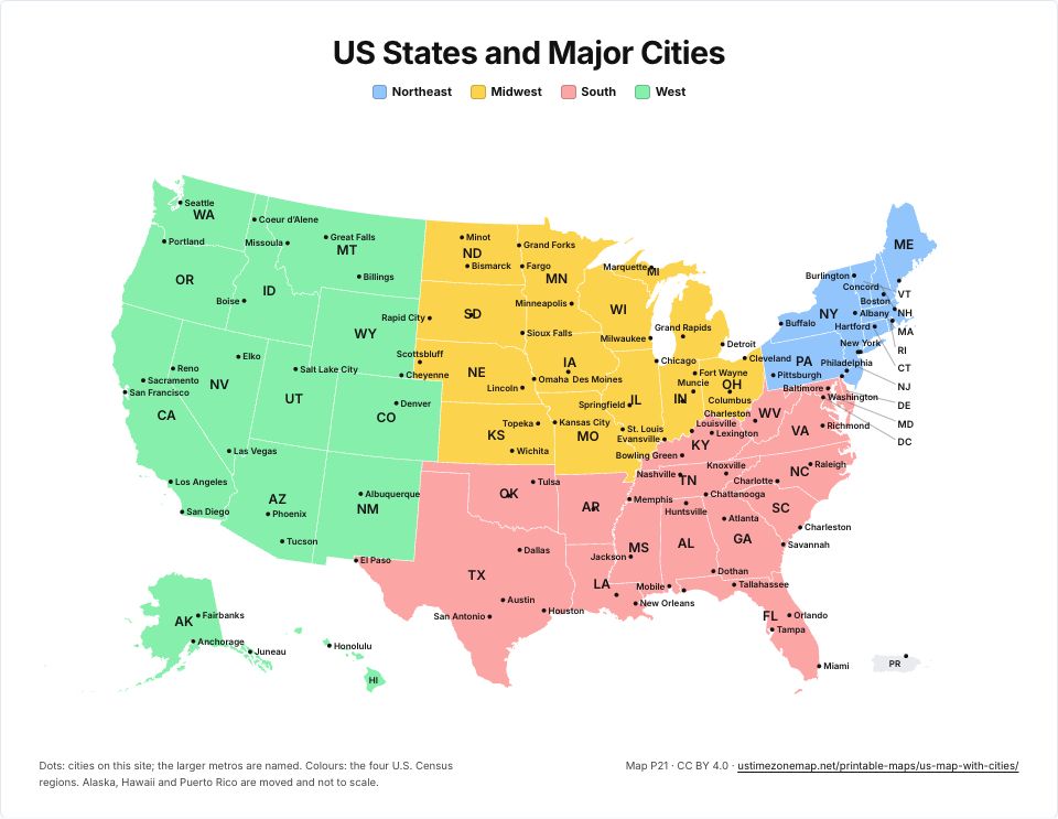 Printable US map with citiesP21 · PDFImages: PNG 1080p · PNG 4K · JPG 1080p · Print JPG 300 dpi
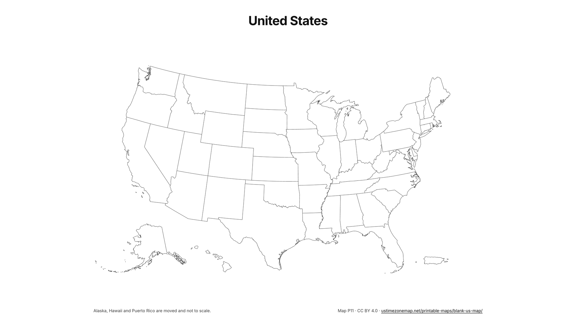
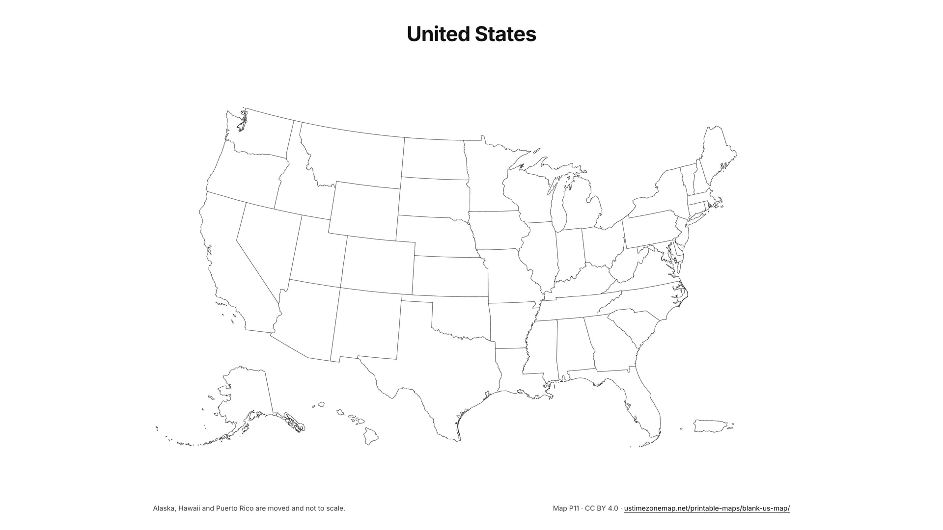
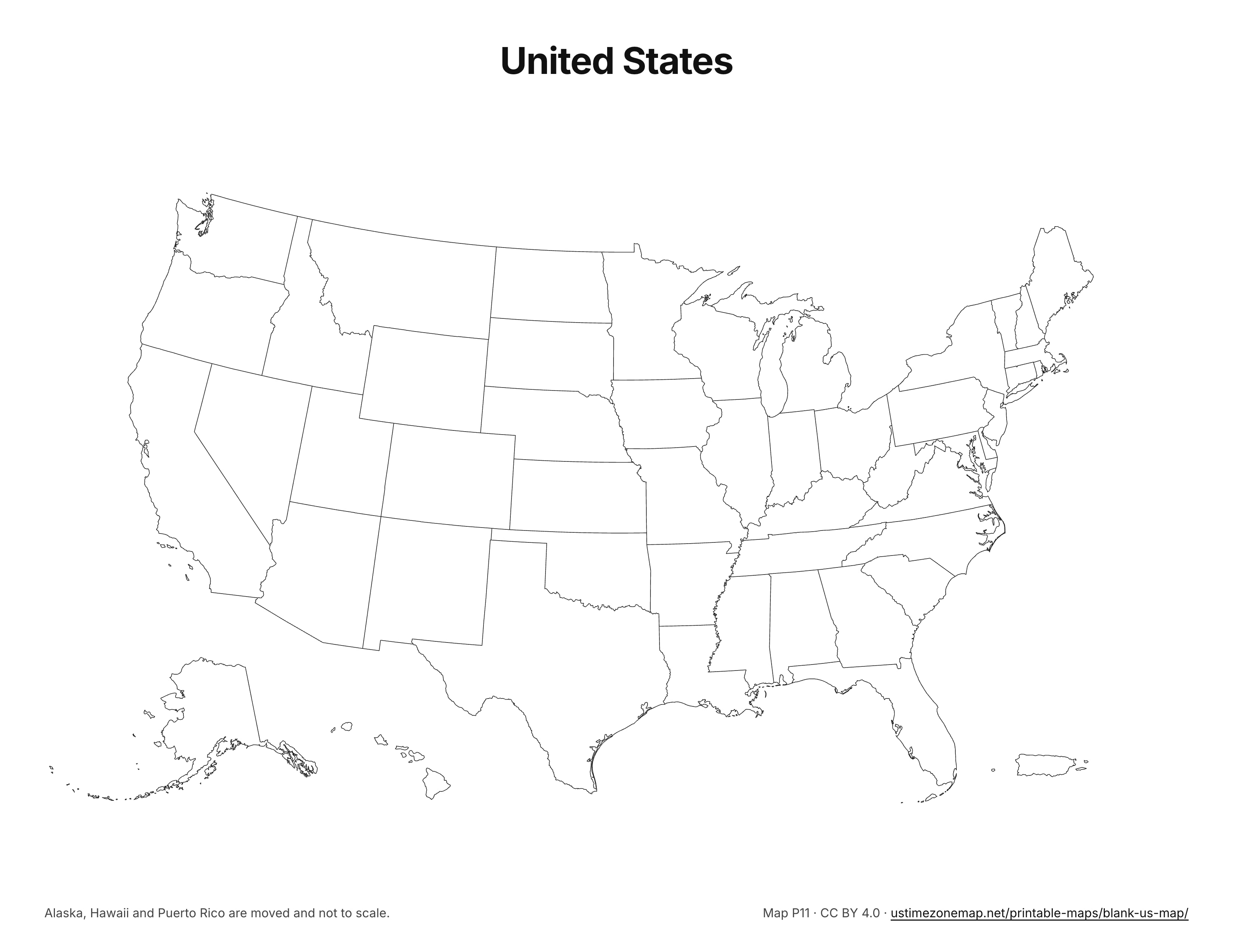
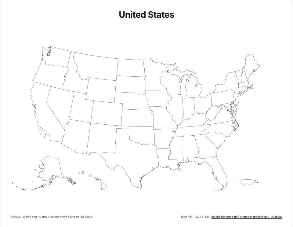 Blank US mapP11 · PDFImages: PNG 1080p · PNG 4K · JPG 1080p · Print JPG 300 dpi
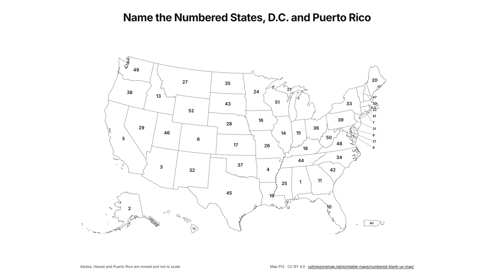
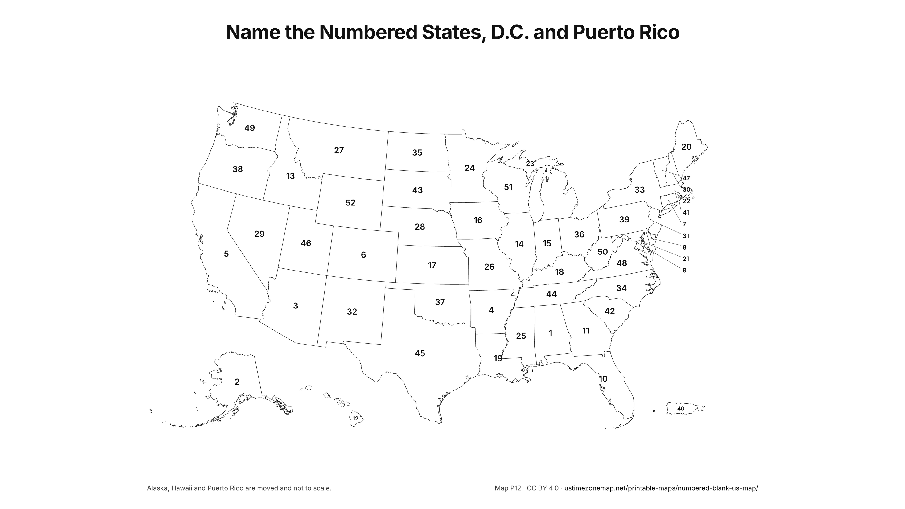
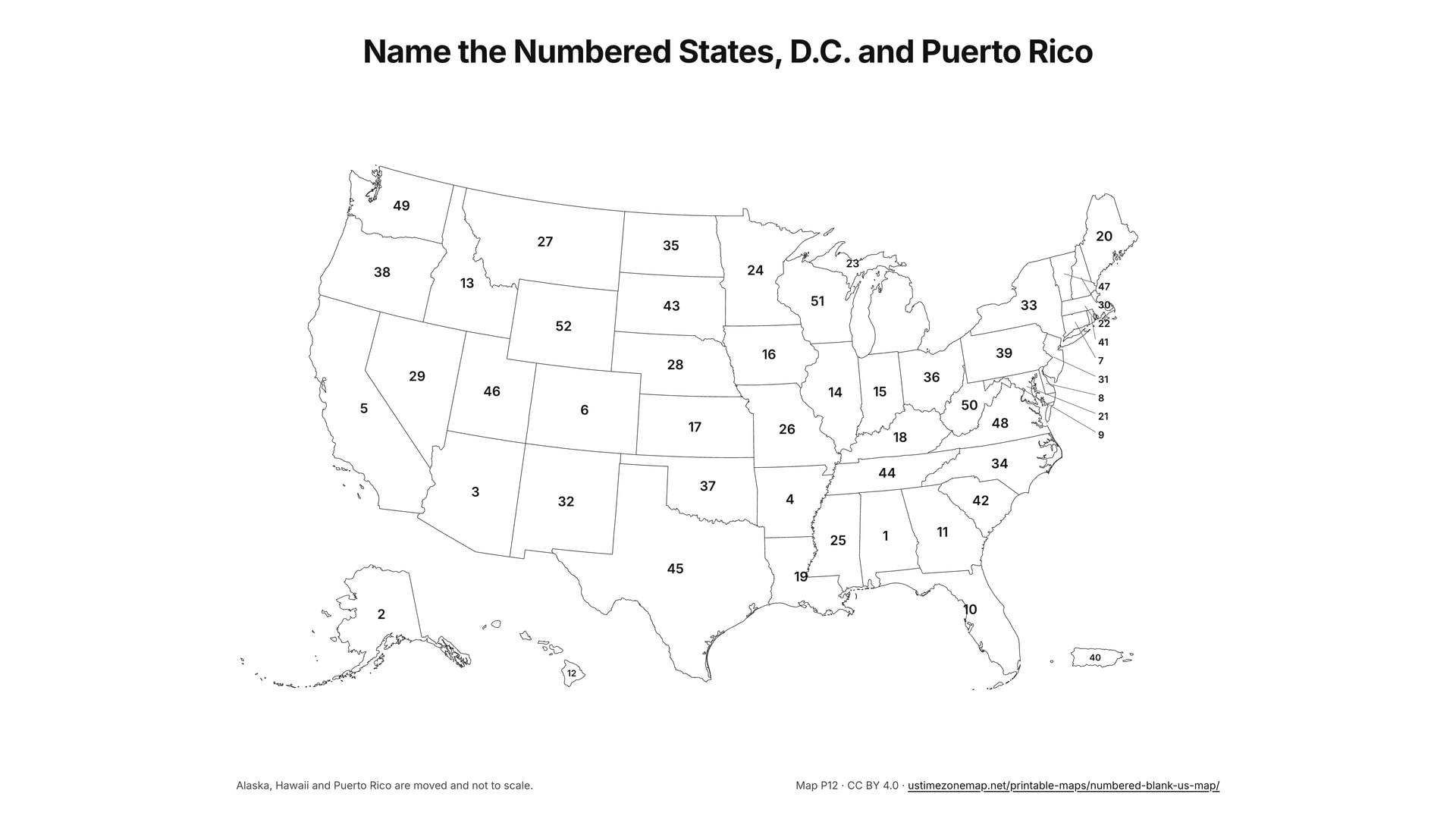
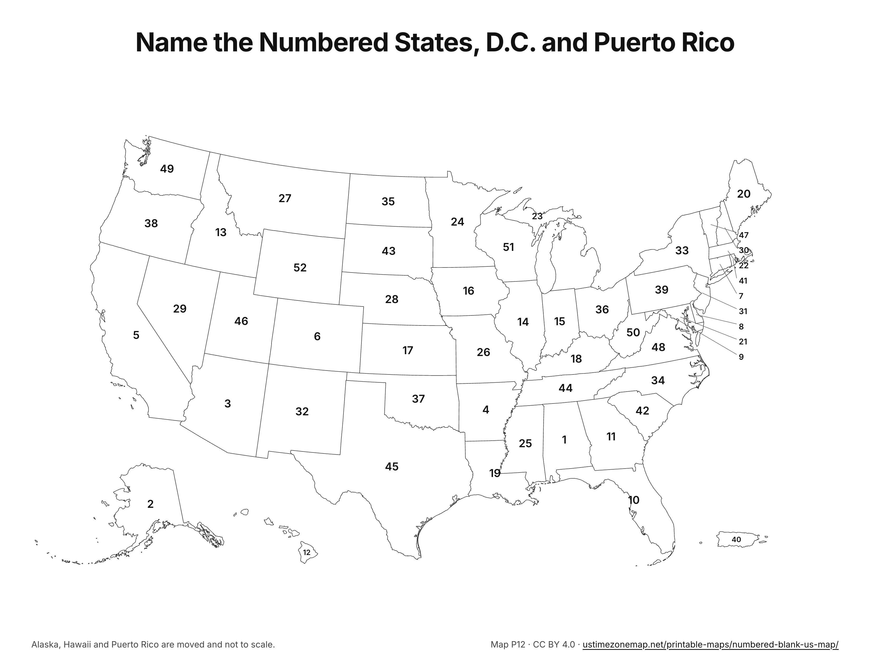
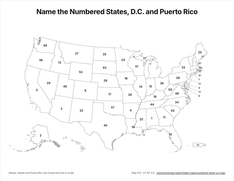 Numbered blank US mapP12 · PDFImages: PNG 1080p · PNG 4K · JPG 1080p · Print JPG 300 dpi
US time zone maps
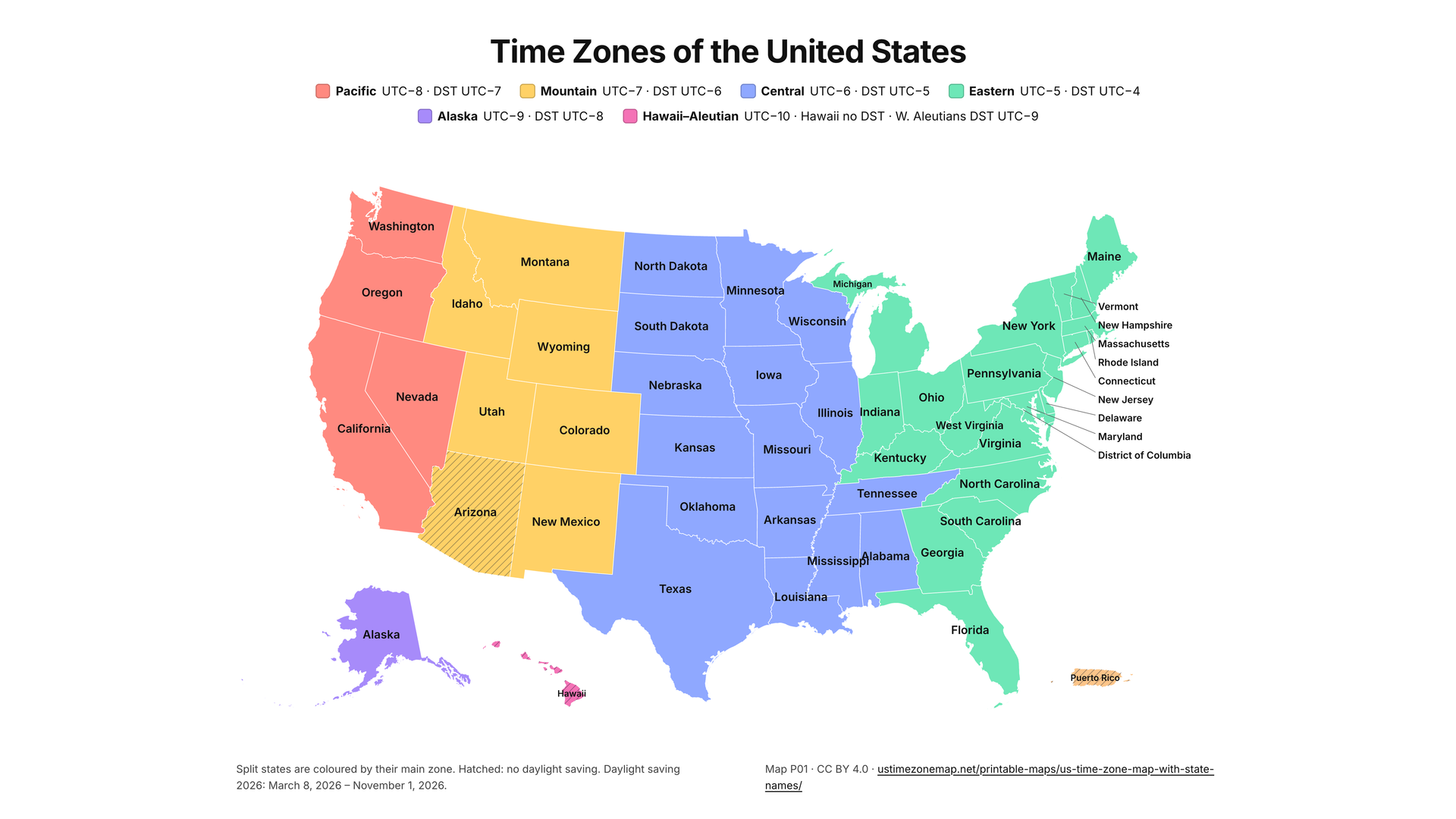
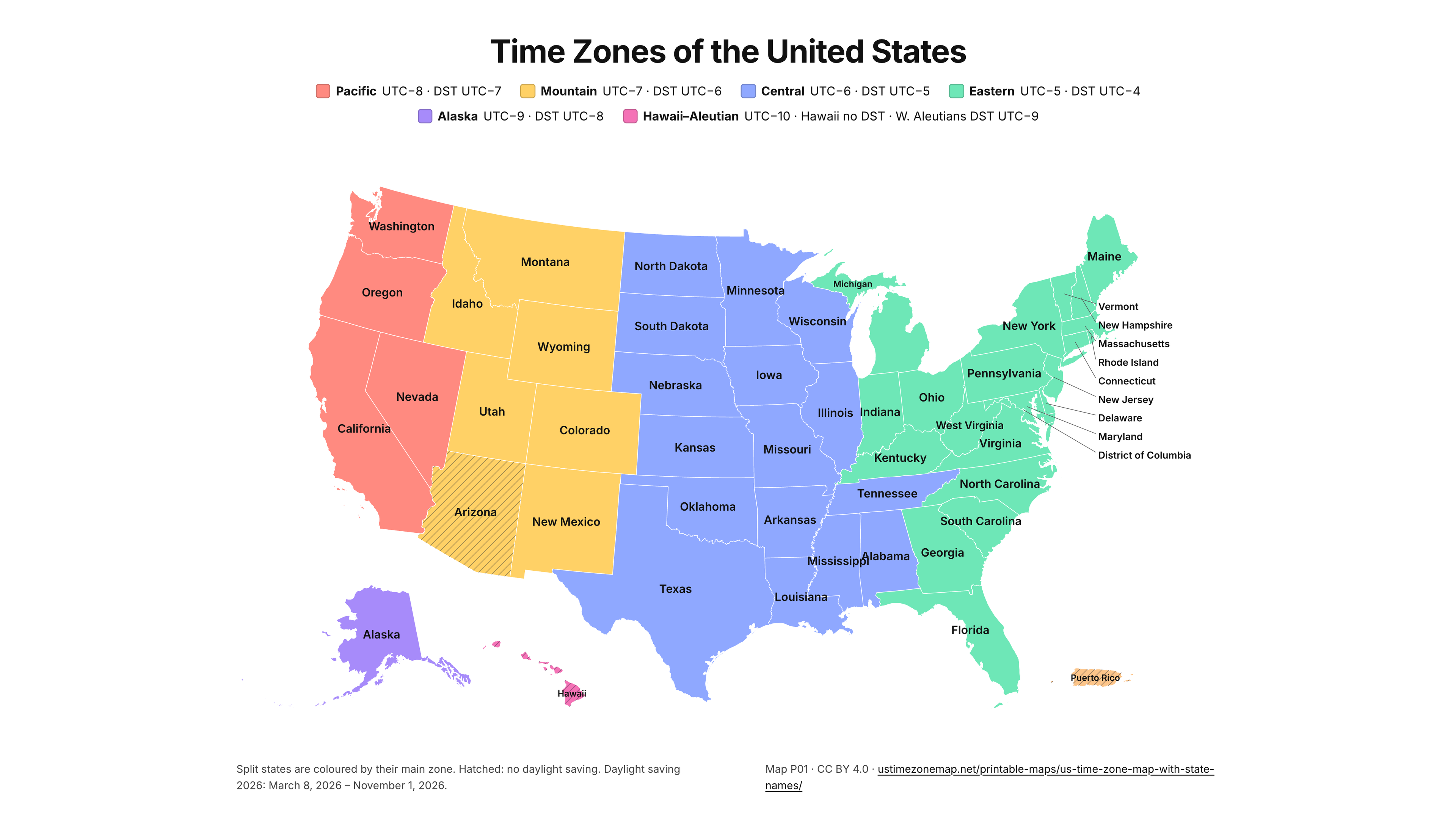
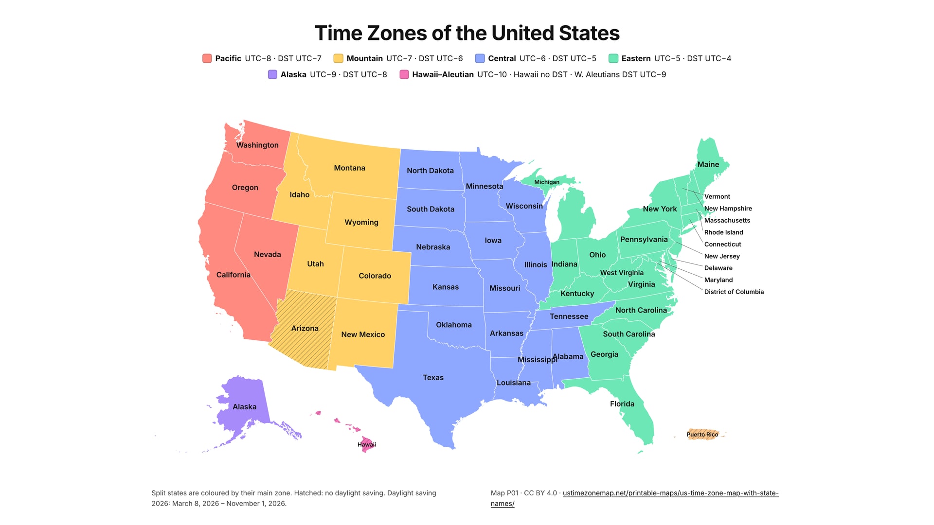
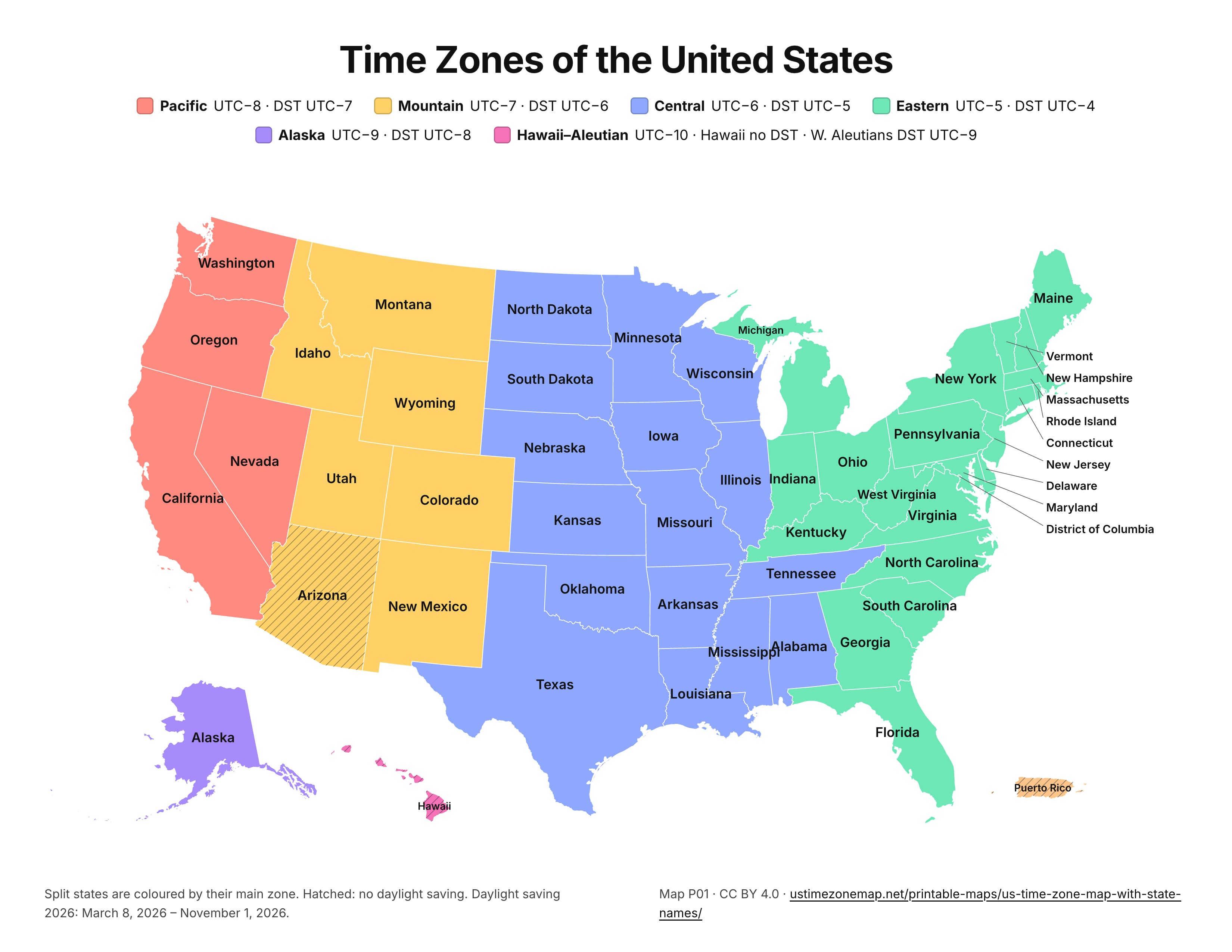
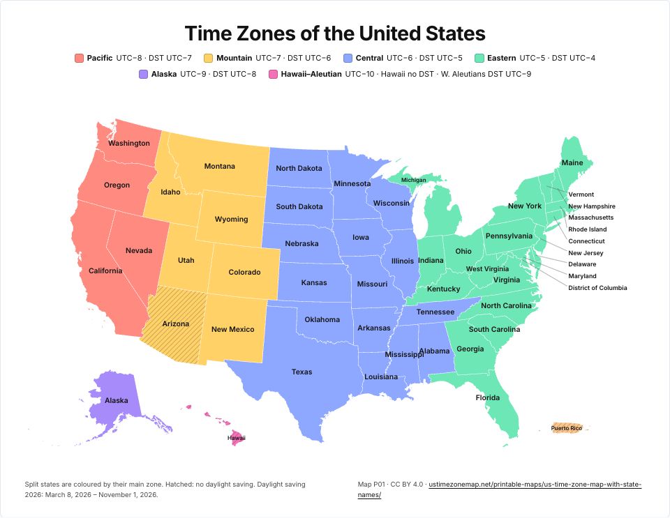 Printable US time zone map with state namesP01 · PDFImages: PNG 1080p · PNG 4K · JPG 1080p · Print JPG 300 dpi
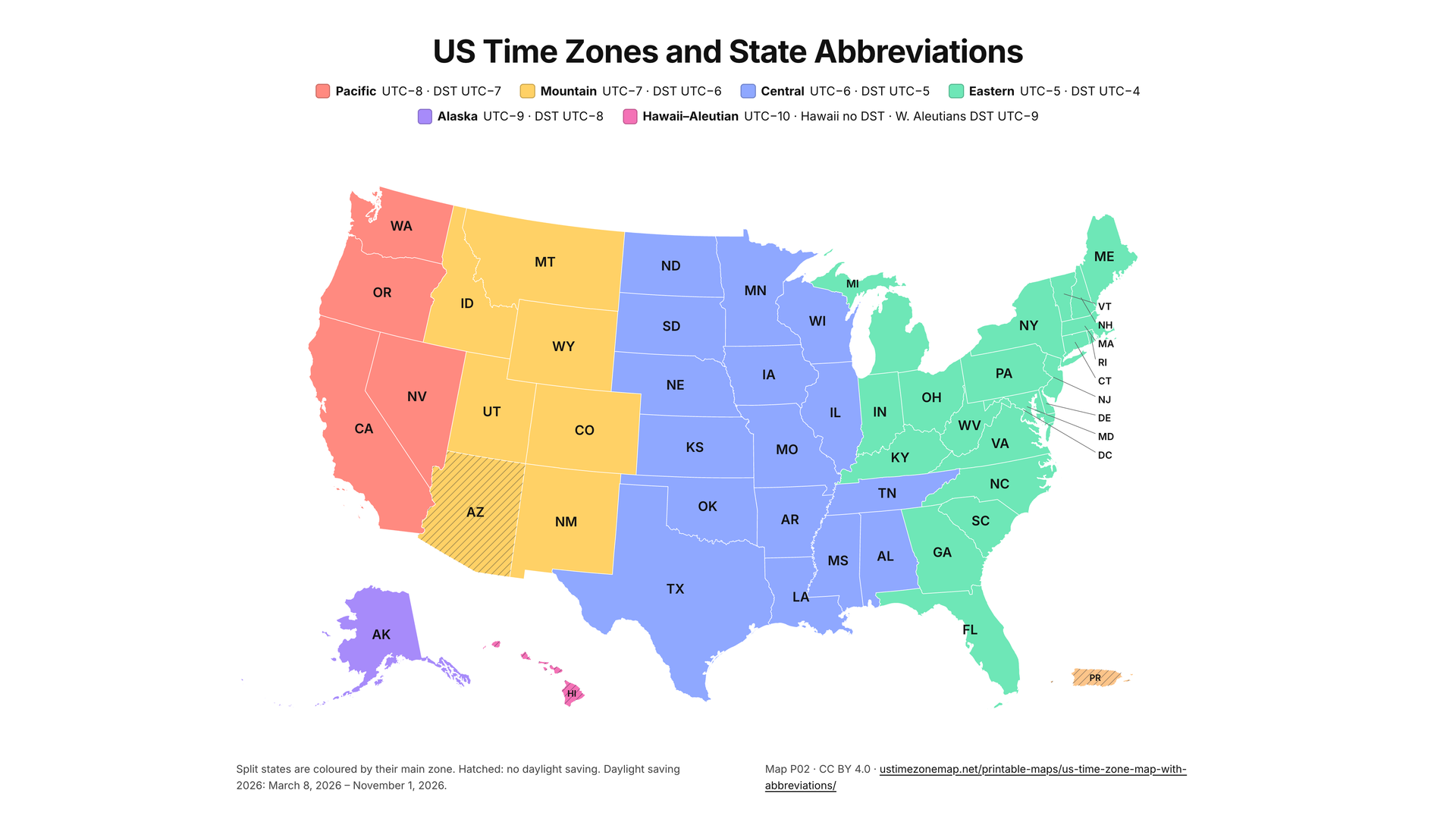
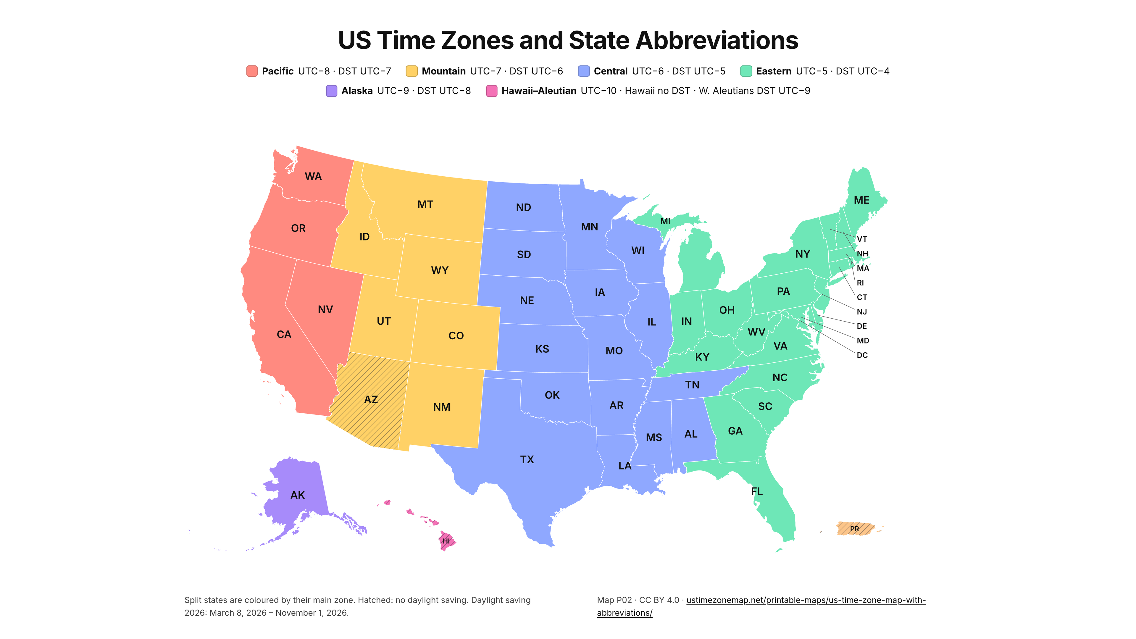
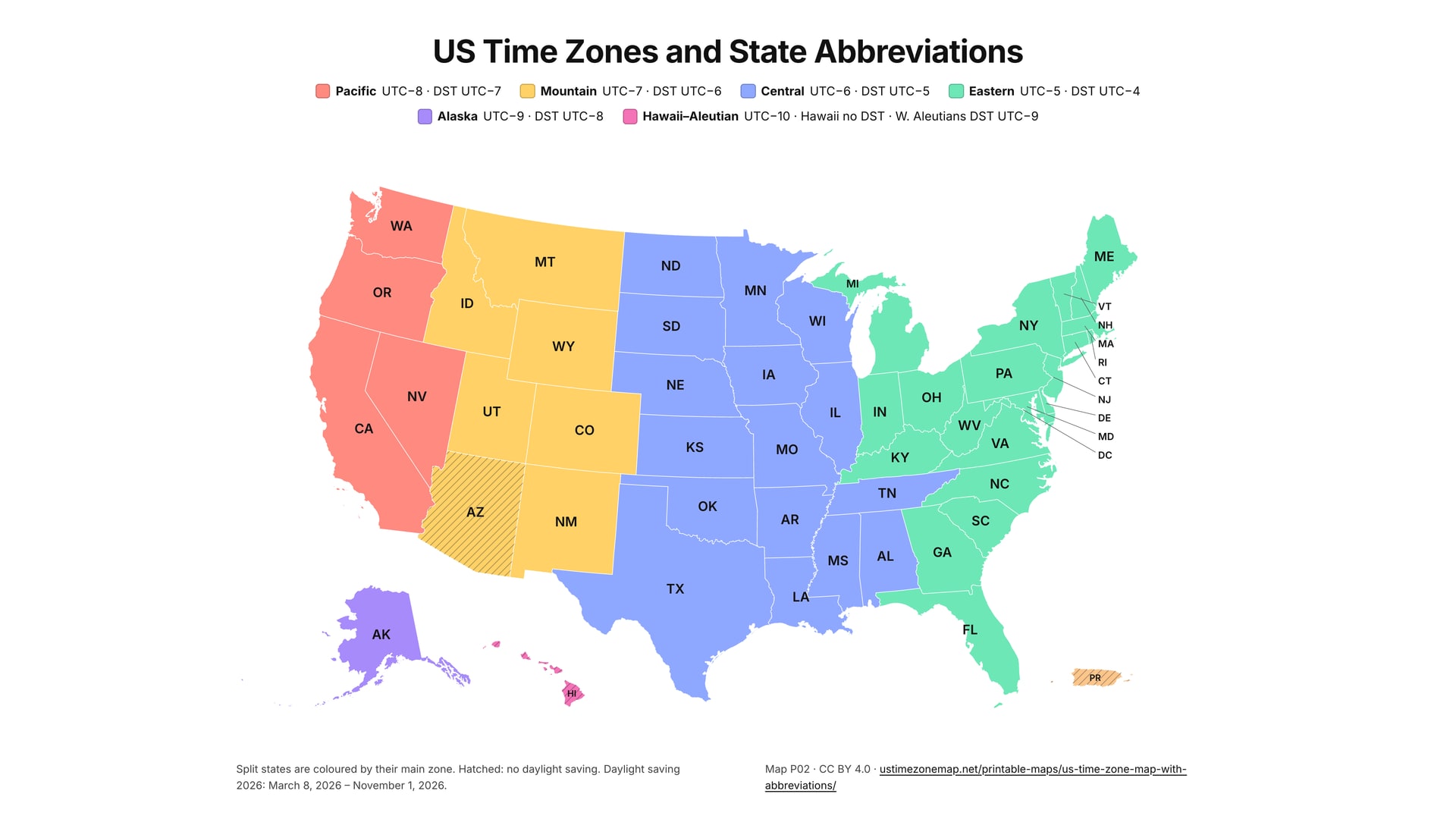
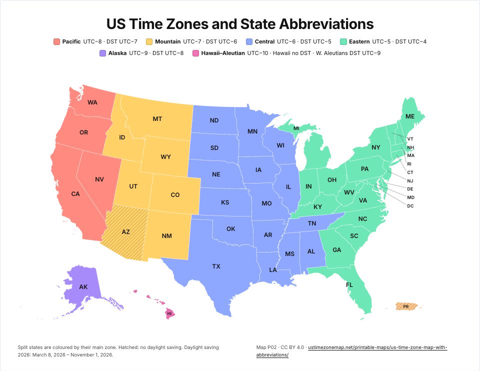 Printable US time zone map with state abbreviationsP02 · PDFImages: PNG 1080p · PNG 4K · JPG 1080p · Print JPG 300 dpi
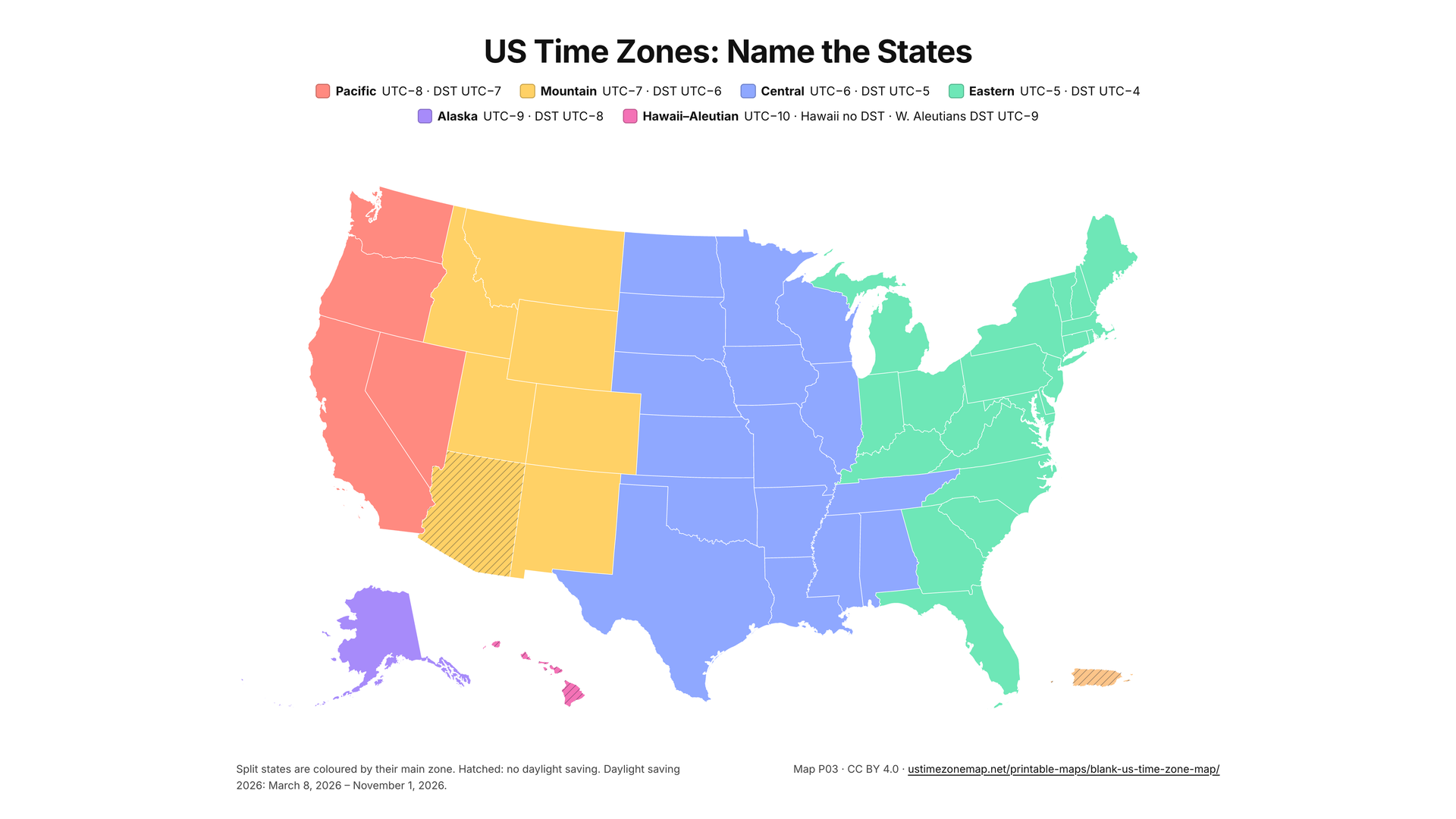
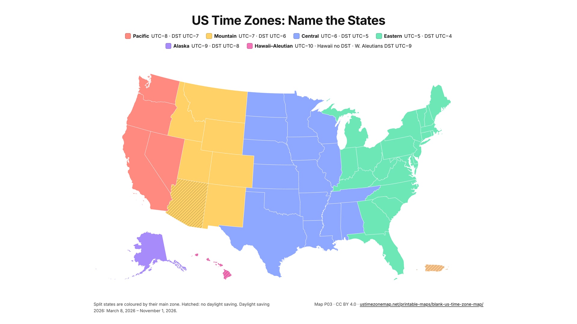
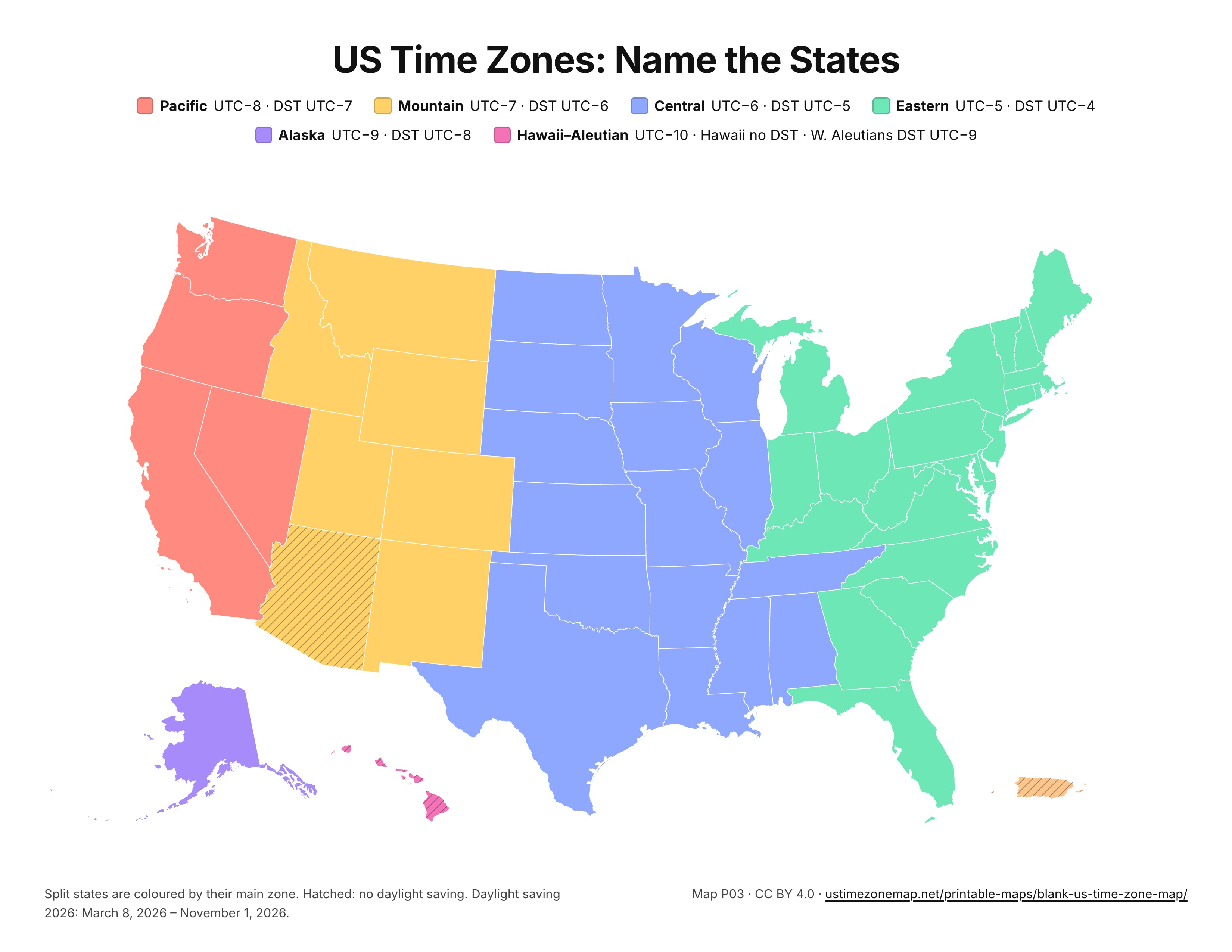
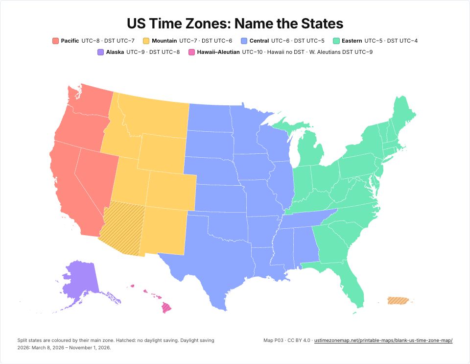 Blank US time zone mapP03 · PDFImages: PNG 1080p · PNG 4K · JPG 1080p · Print JPG 300 dpi
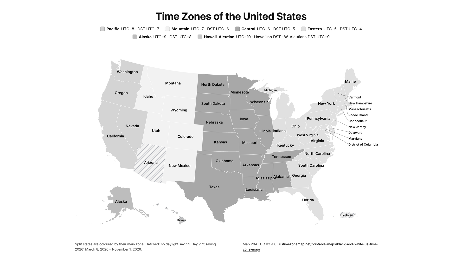
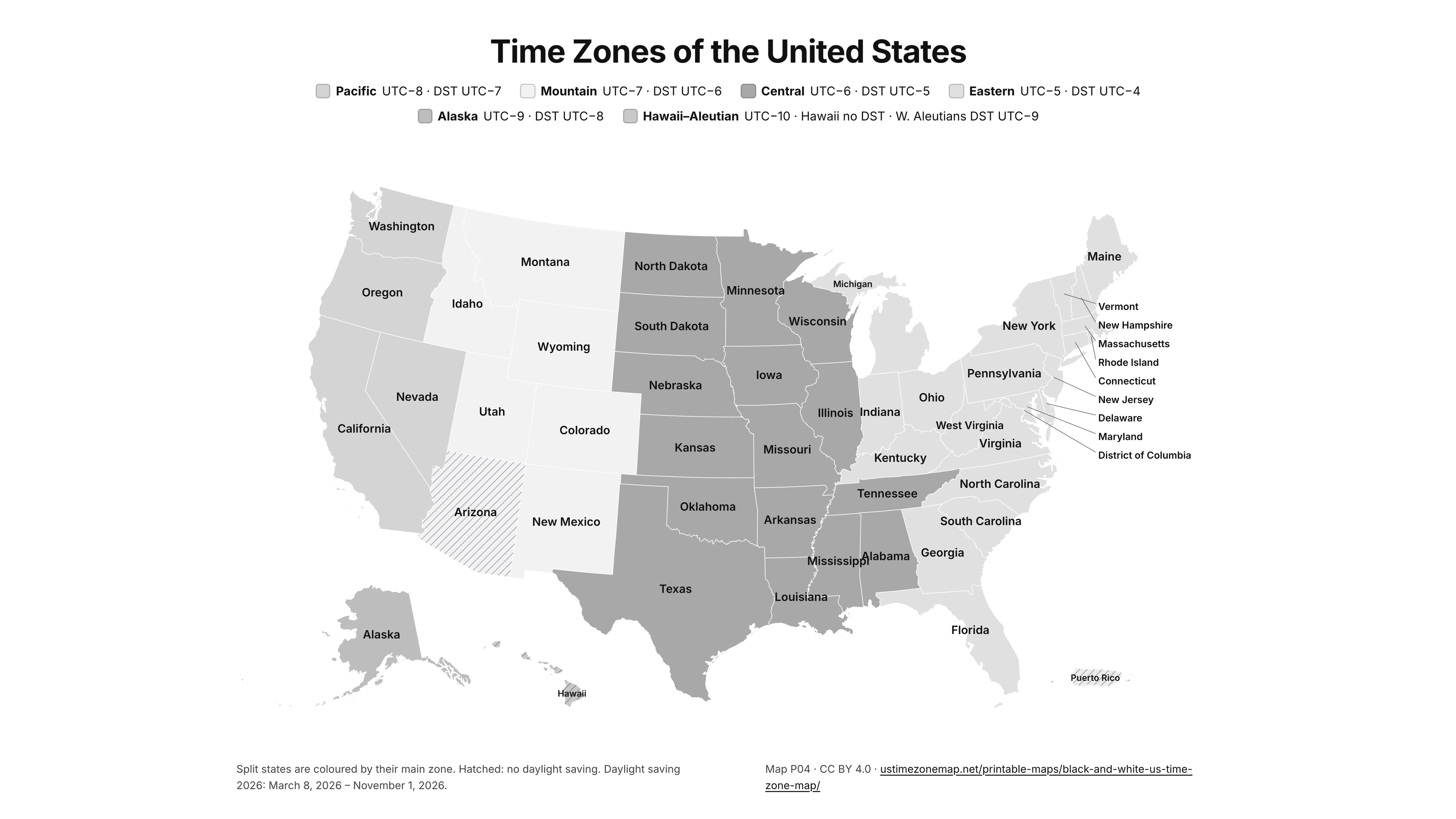
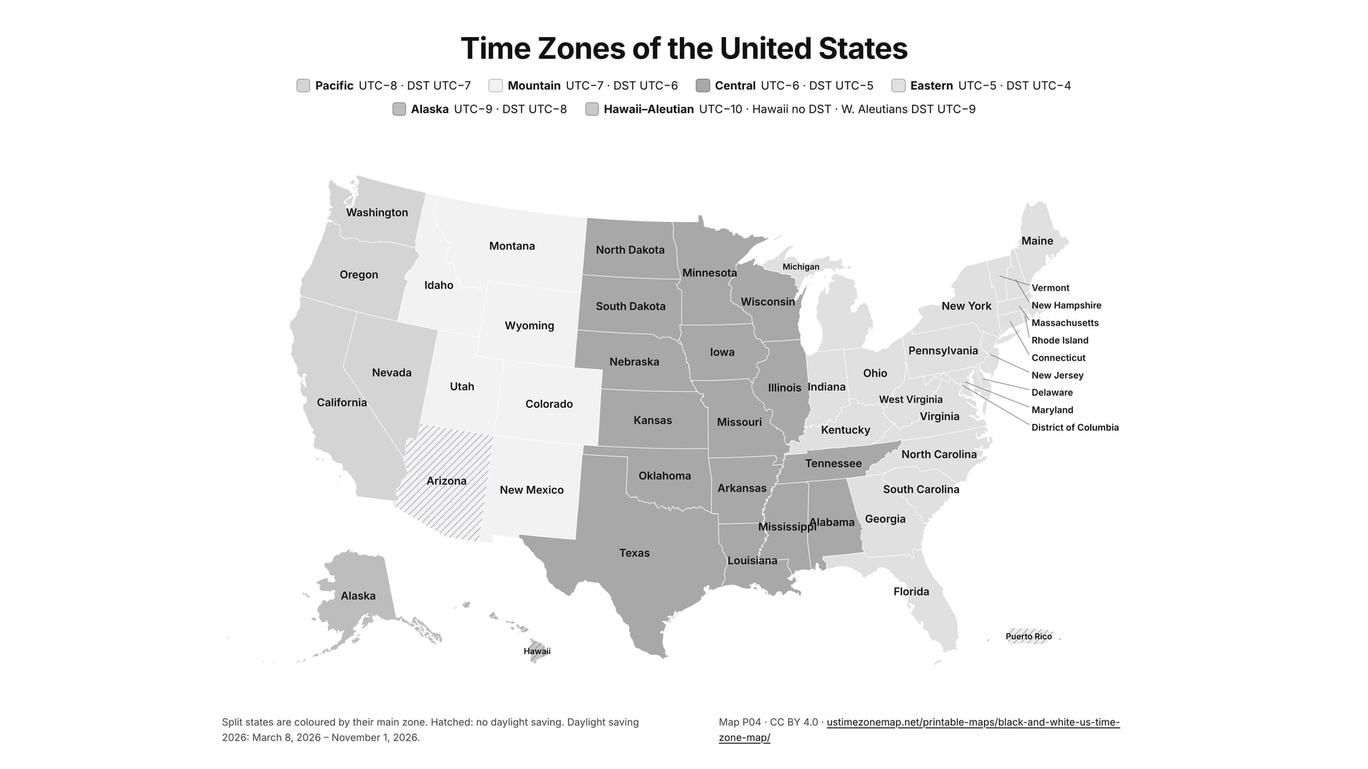
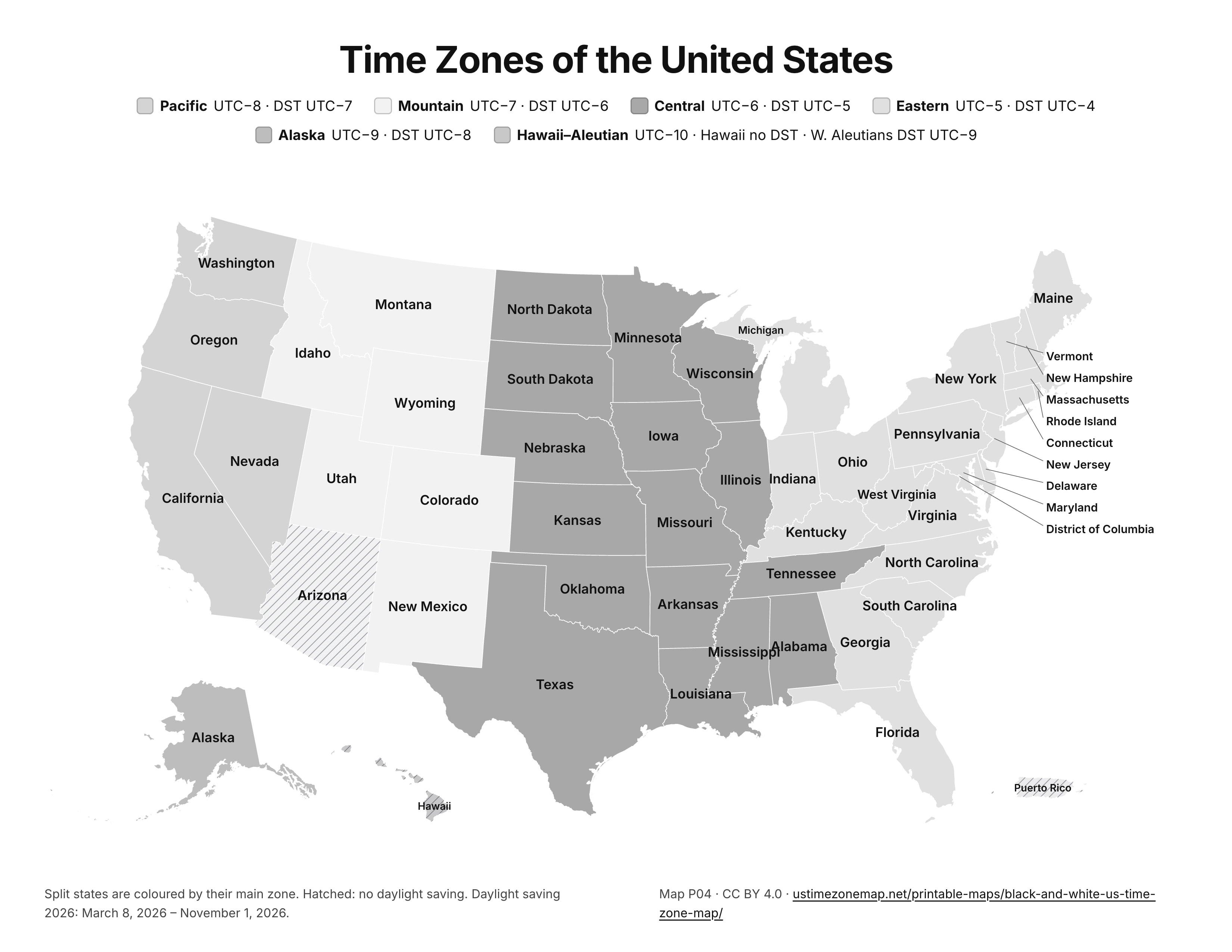
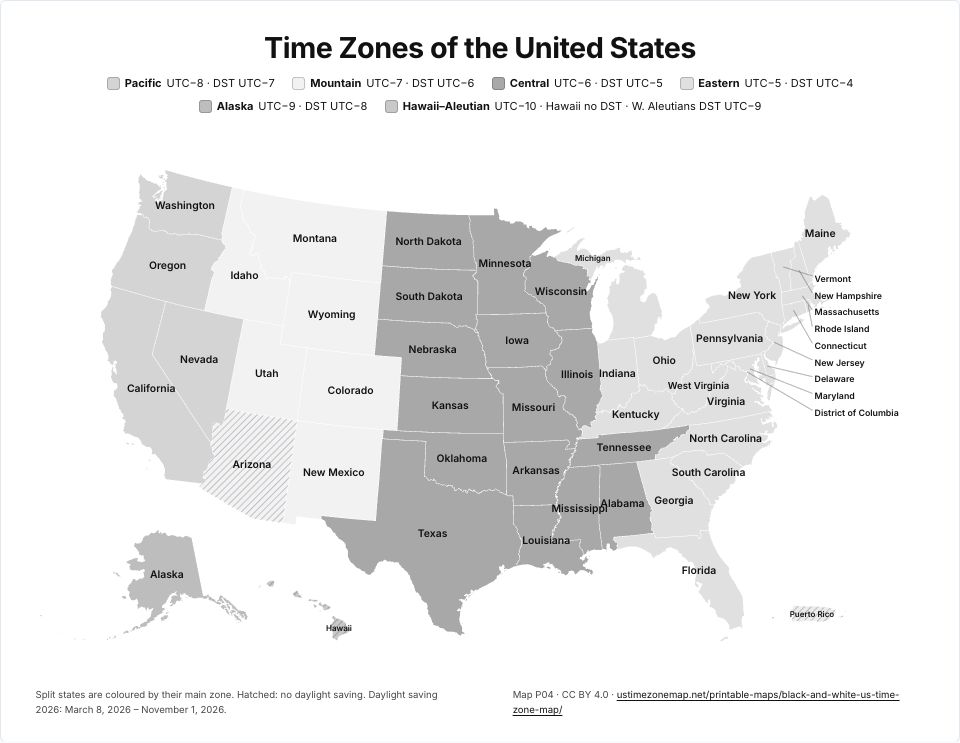 Black and white US time zone mapP04 · PDFImages: PNG 1080p · PNG 4K · JPG 1080p · Print JPG 300 dpi
One time zone at a time
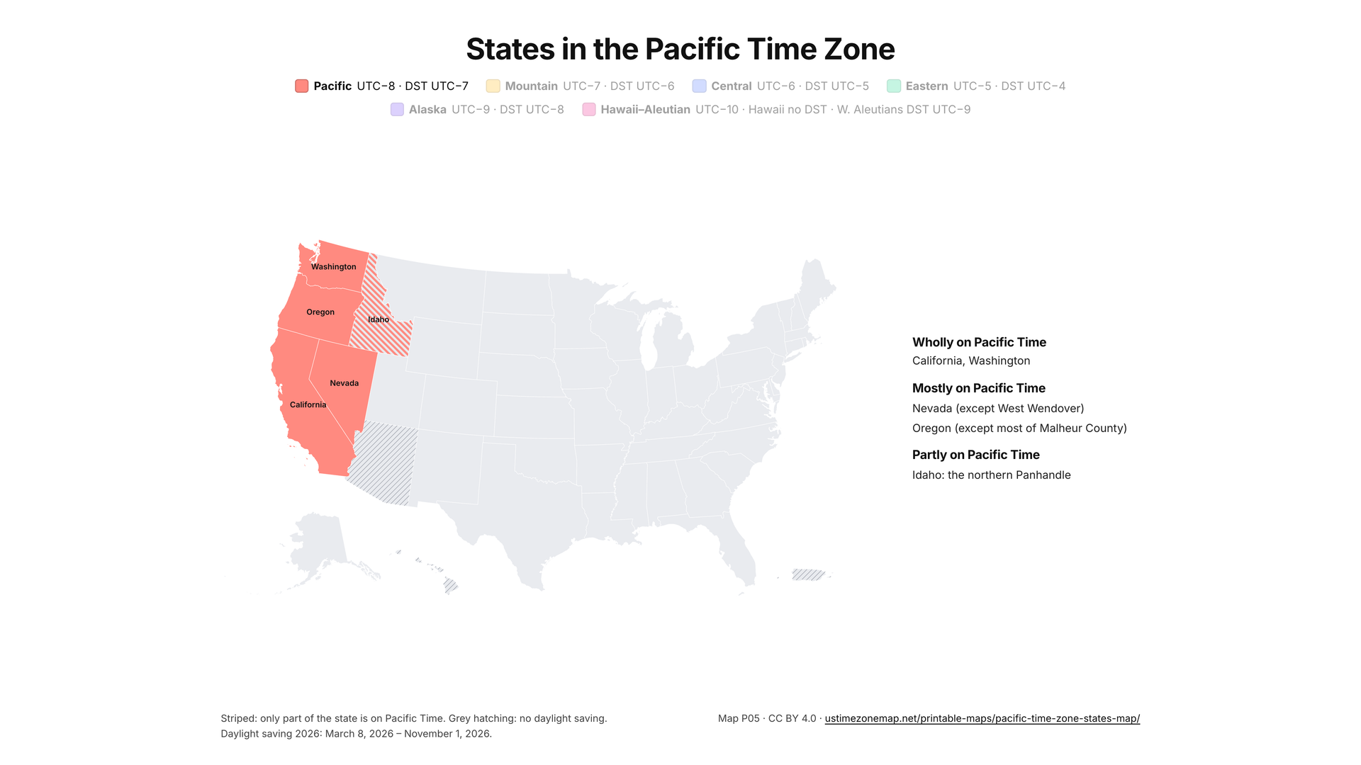
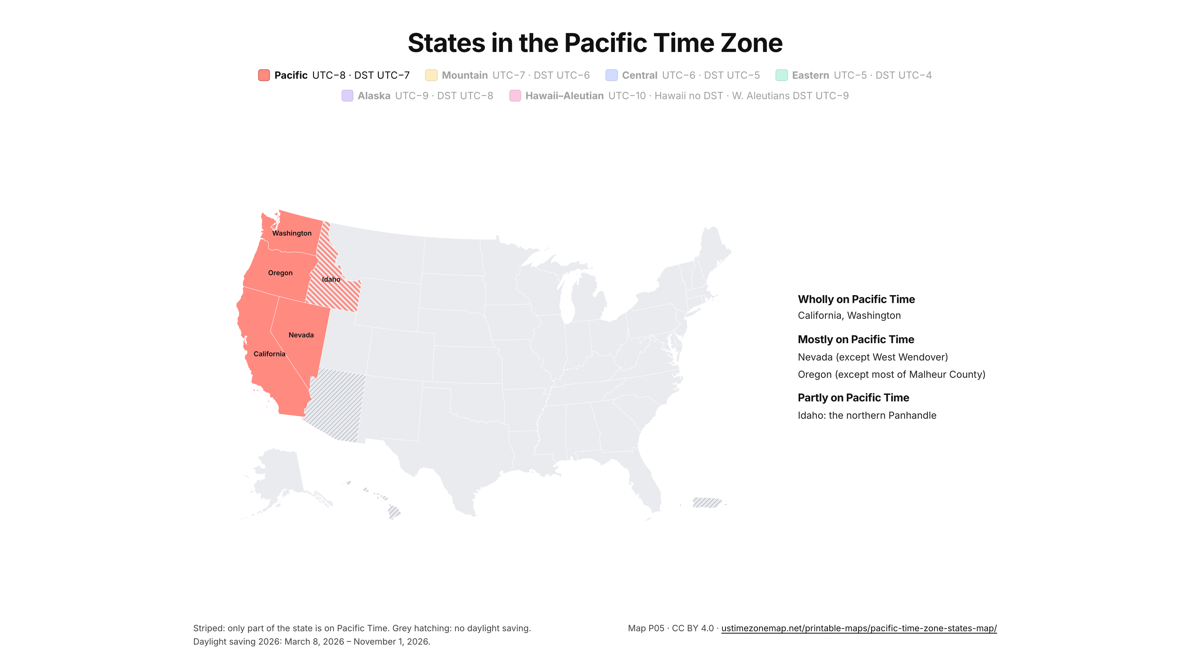
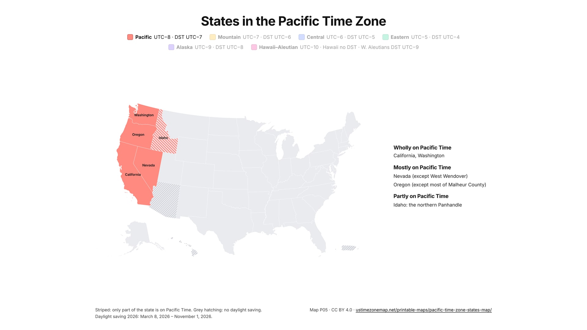
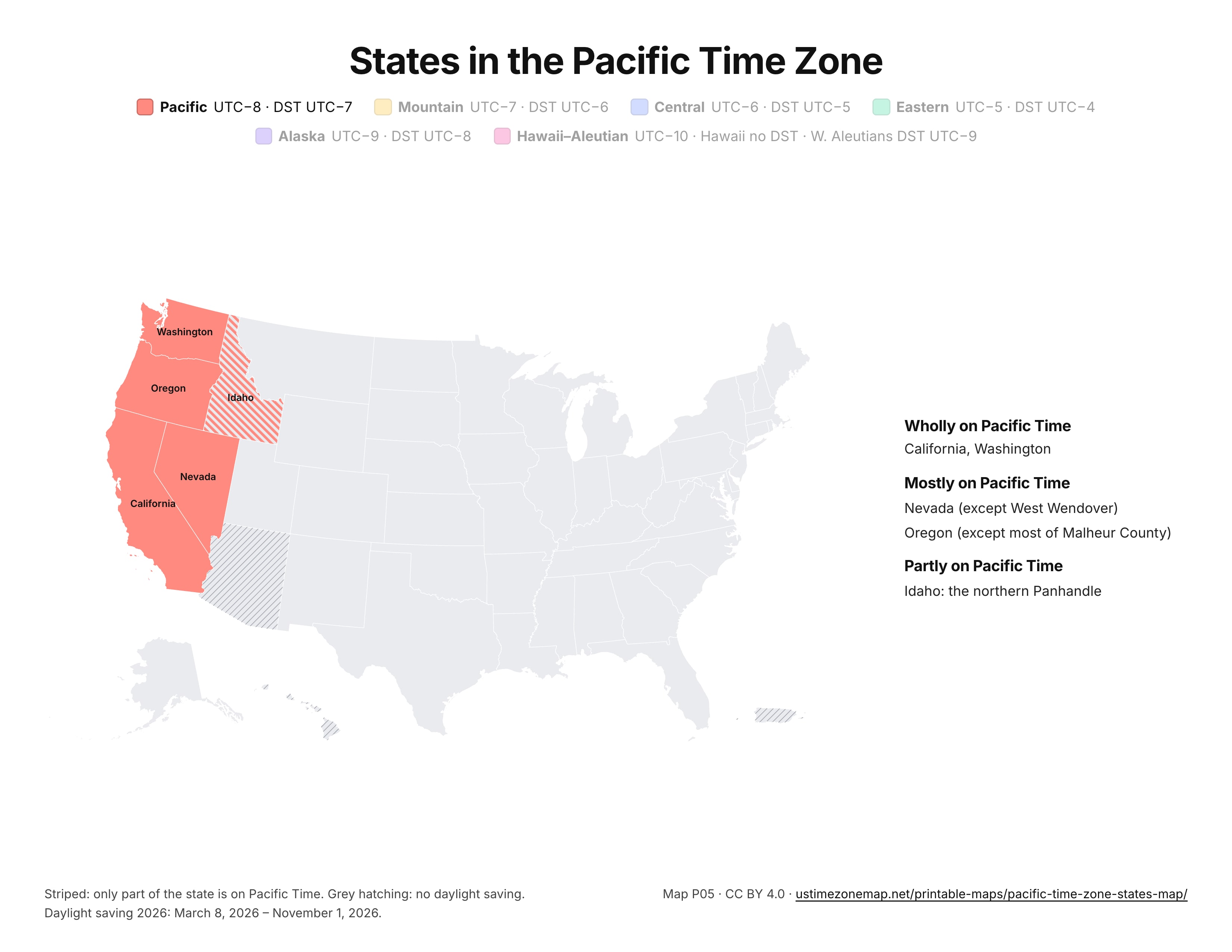
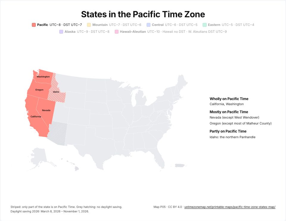 Printable Pacific Time Zone mapP05 · PDFImages: PNG 1080p · PNG 4K · JPG 1080p · Print JPG 300 dpi
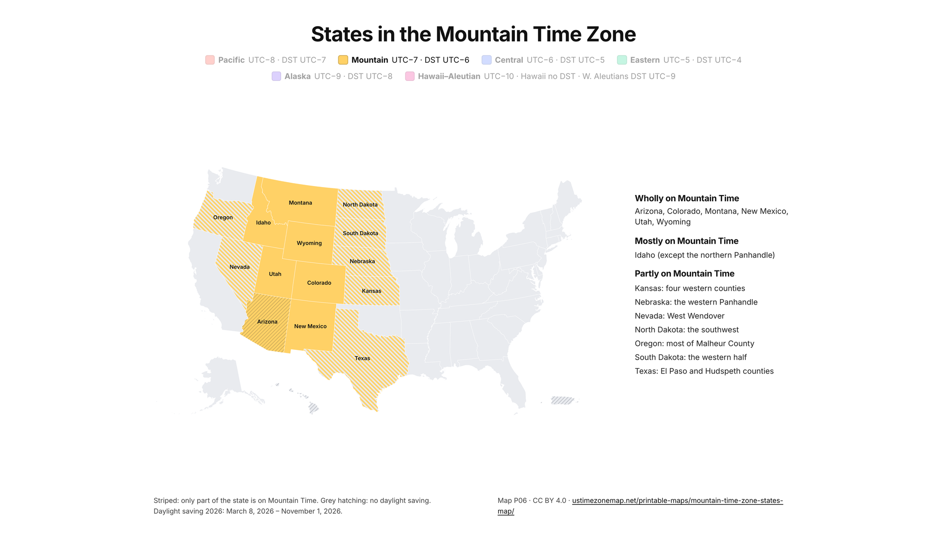
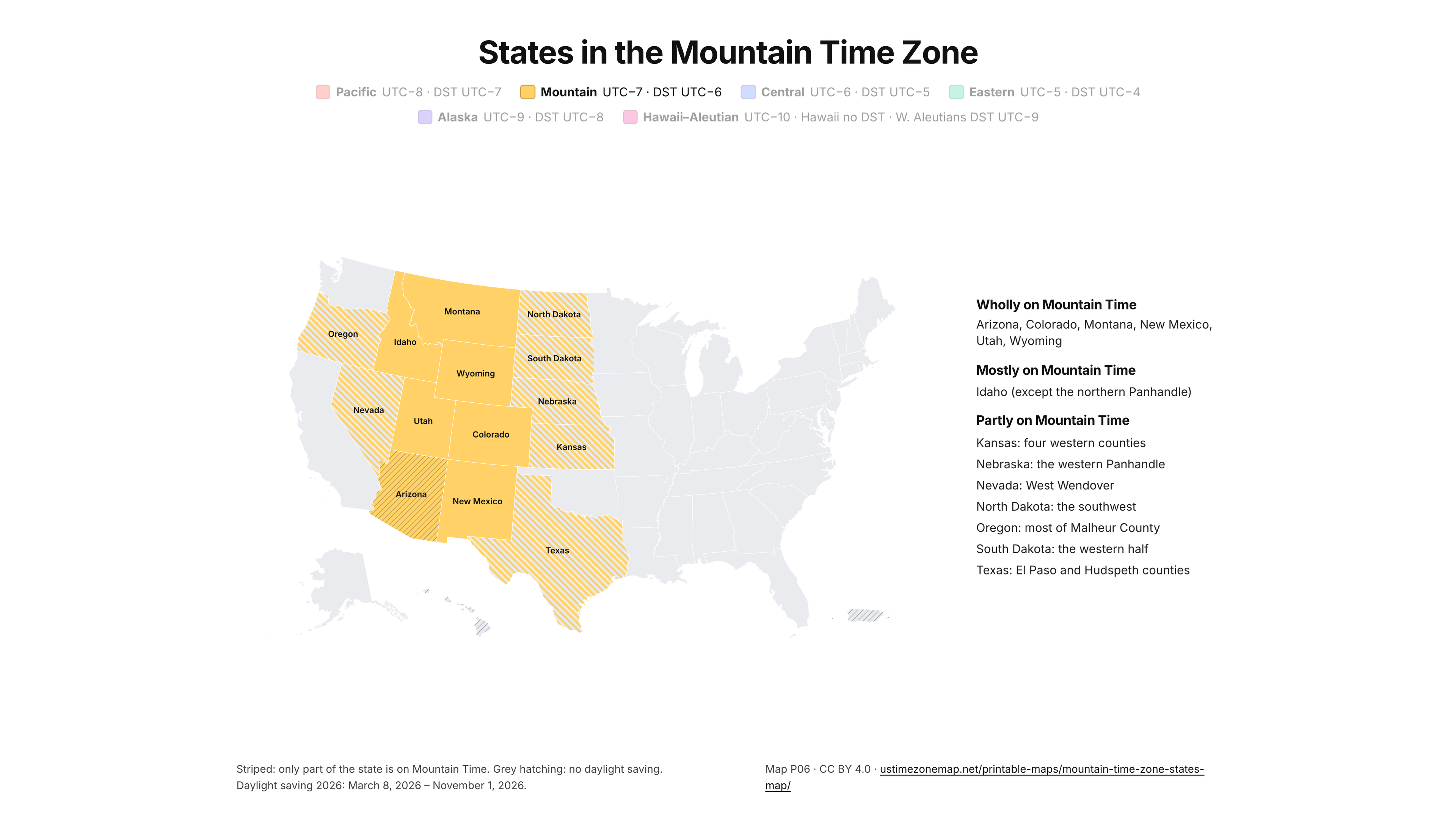
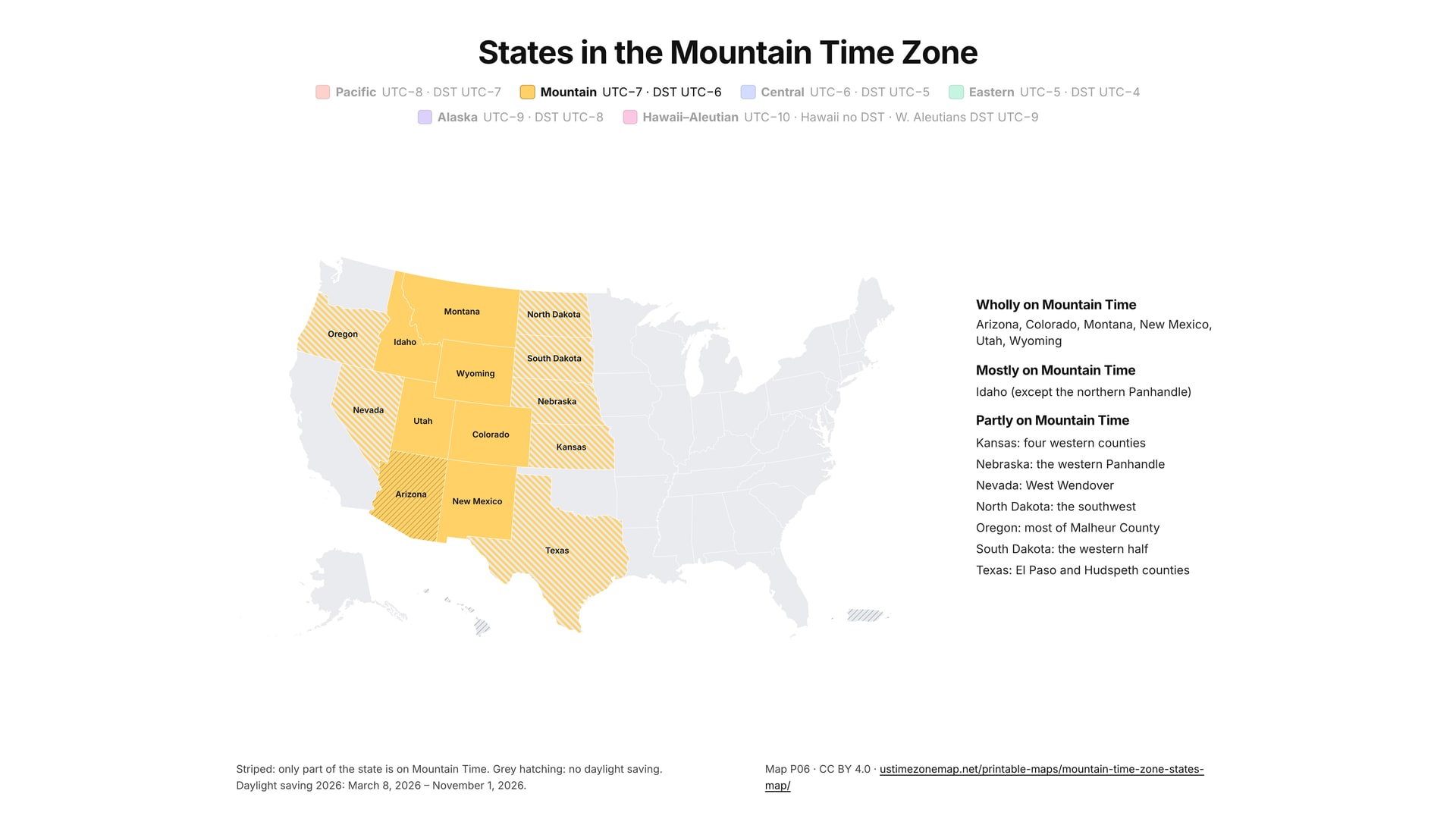
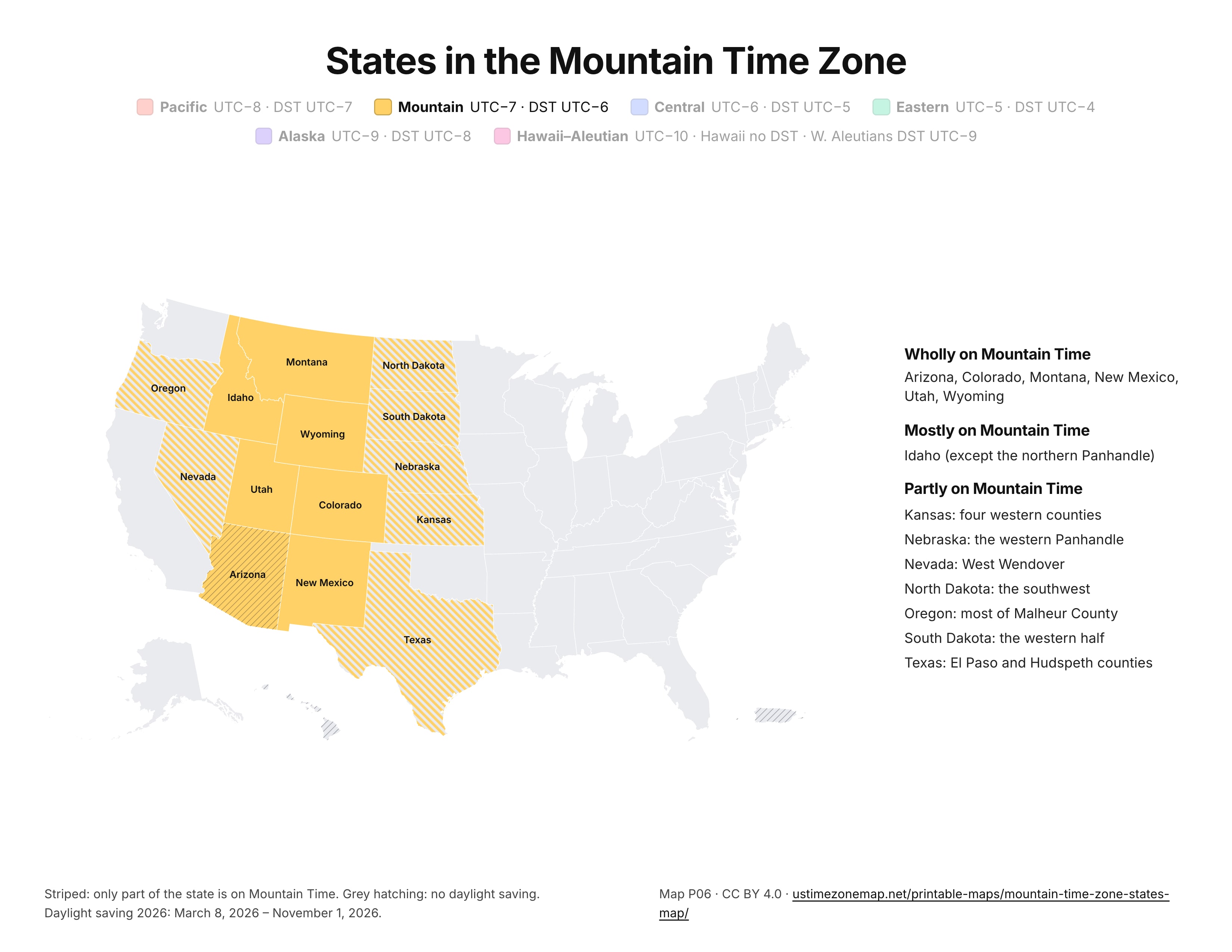
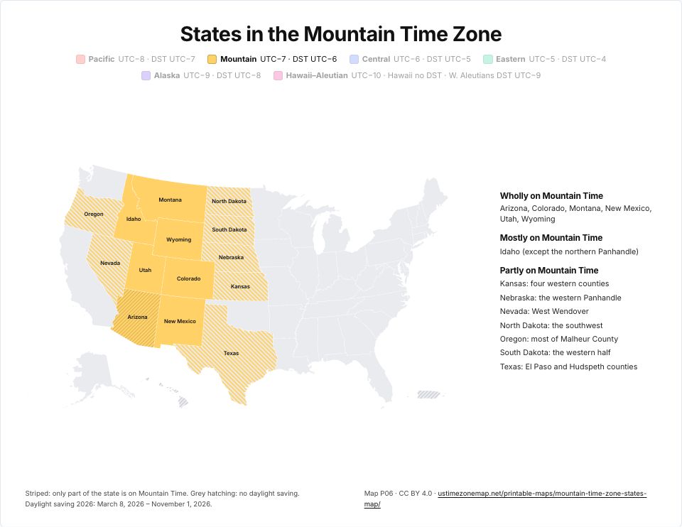 Printable Mountain Time Zone mapP06 · PDFImages: PNG 1080p · PNG 4K · JPG 1080p · Print JPG 300 dpi
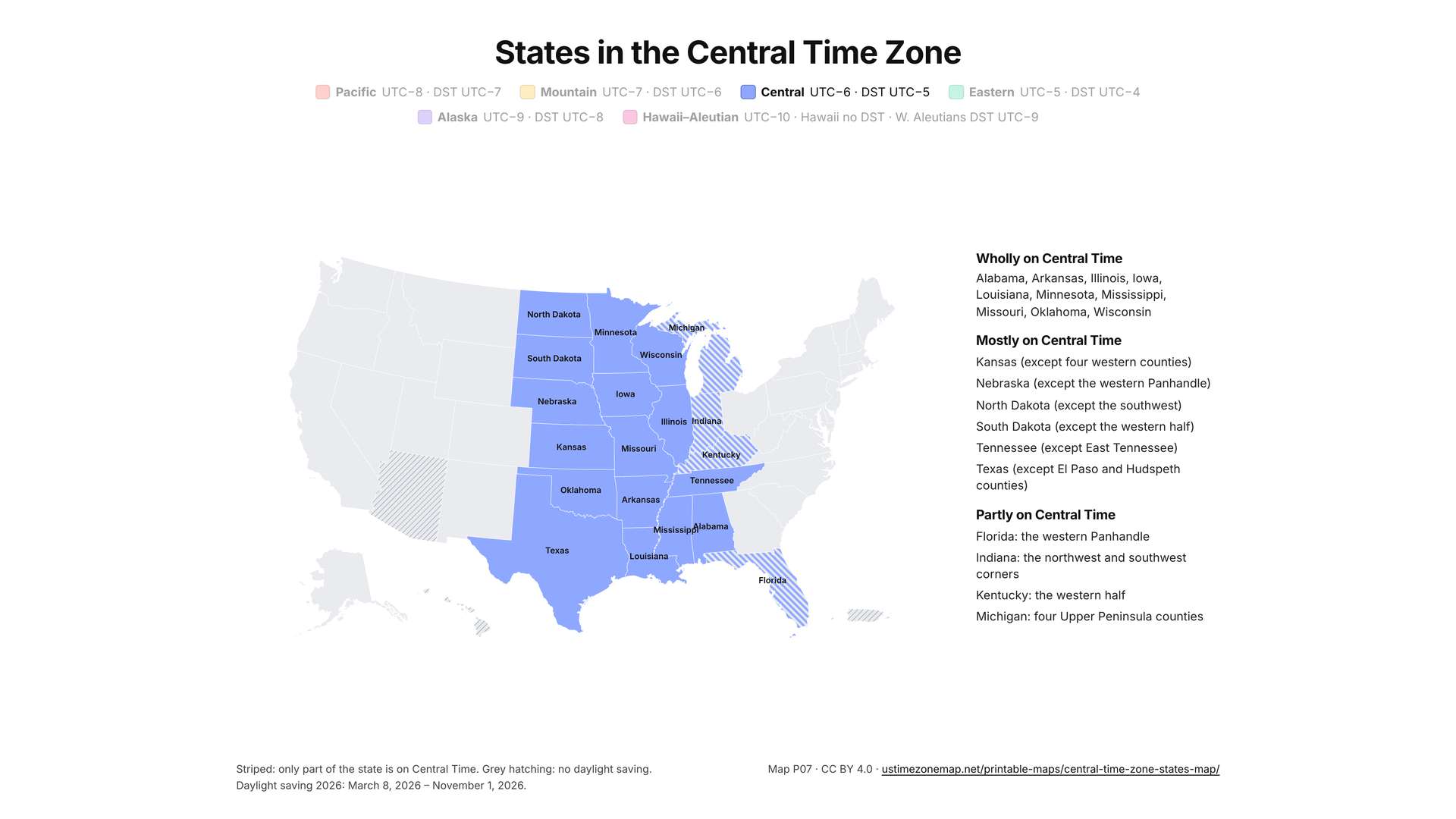
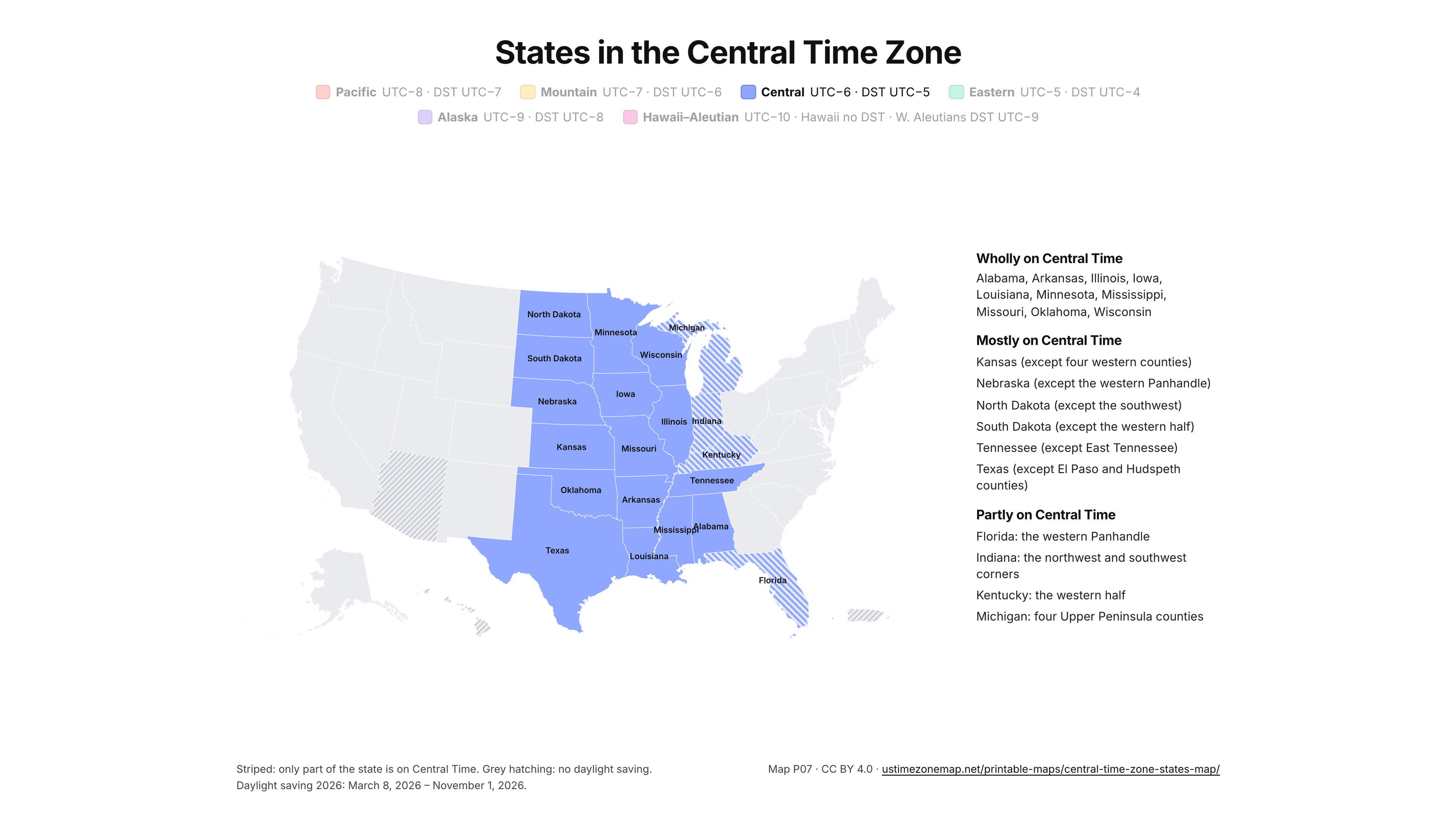
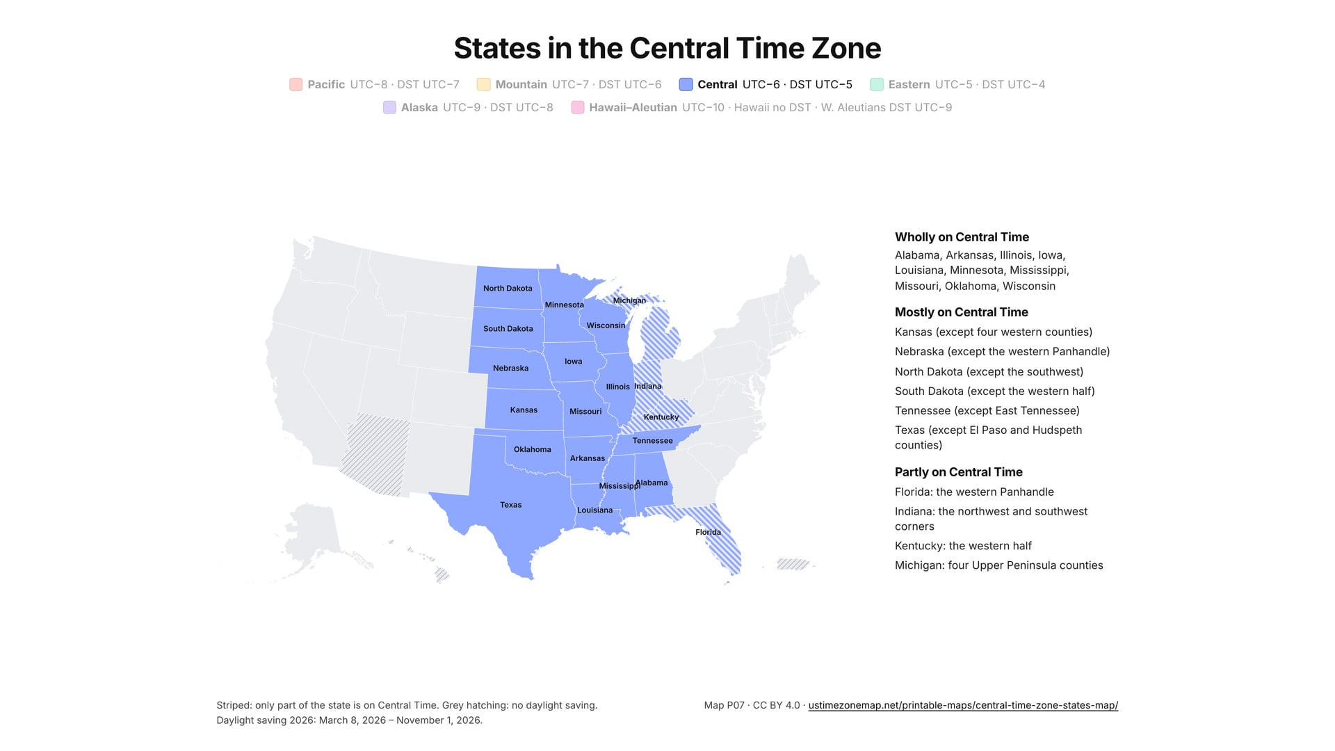
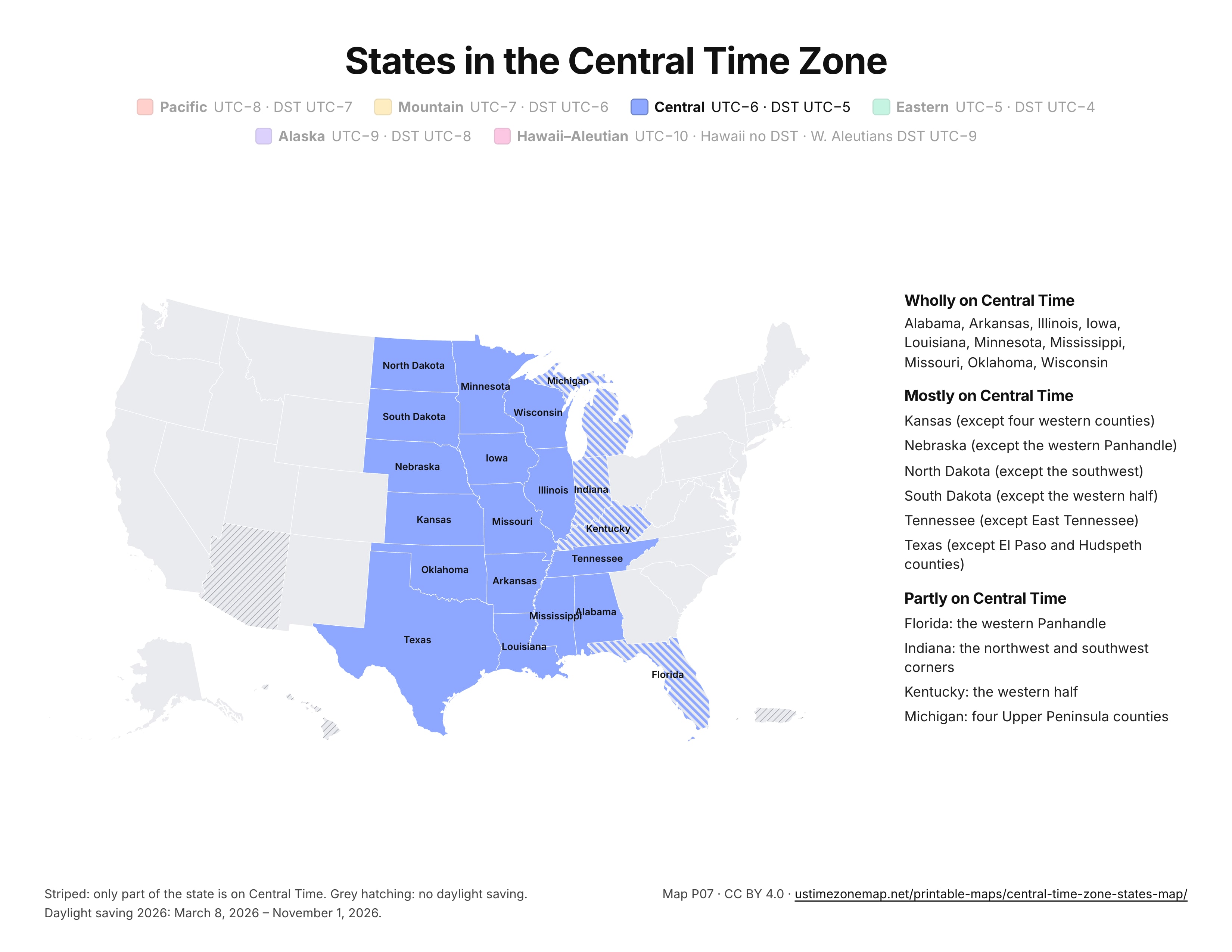
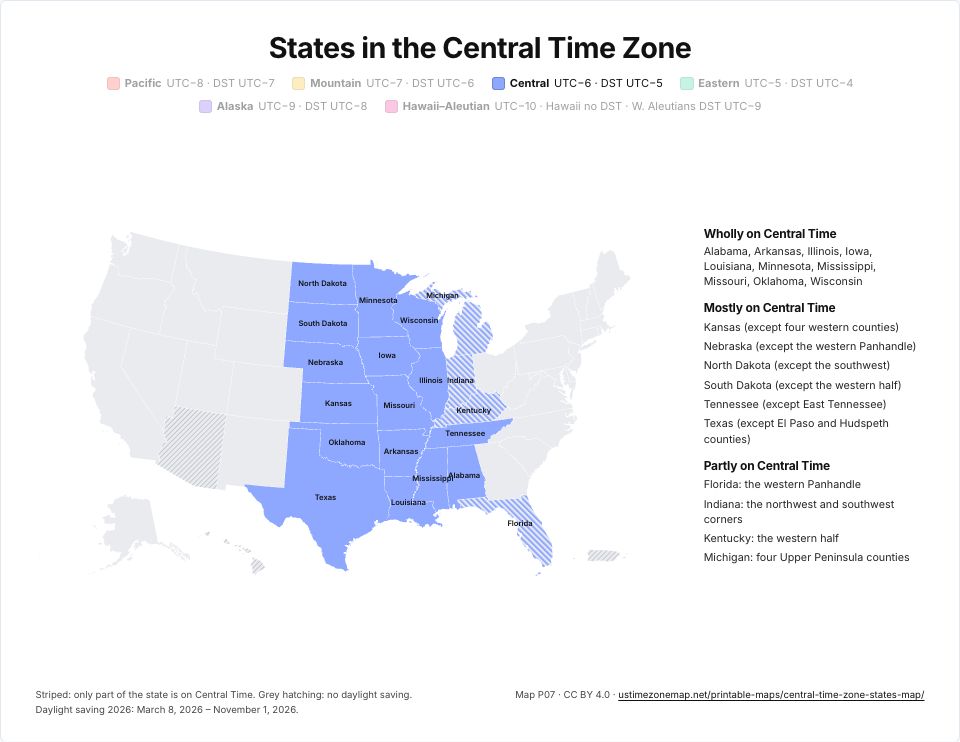 Printable Central Time Zone mapP07 · PDFImages: PNG 1080p · PNG 4K · JPG 1080p · Print JPG 300 dpi
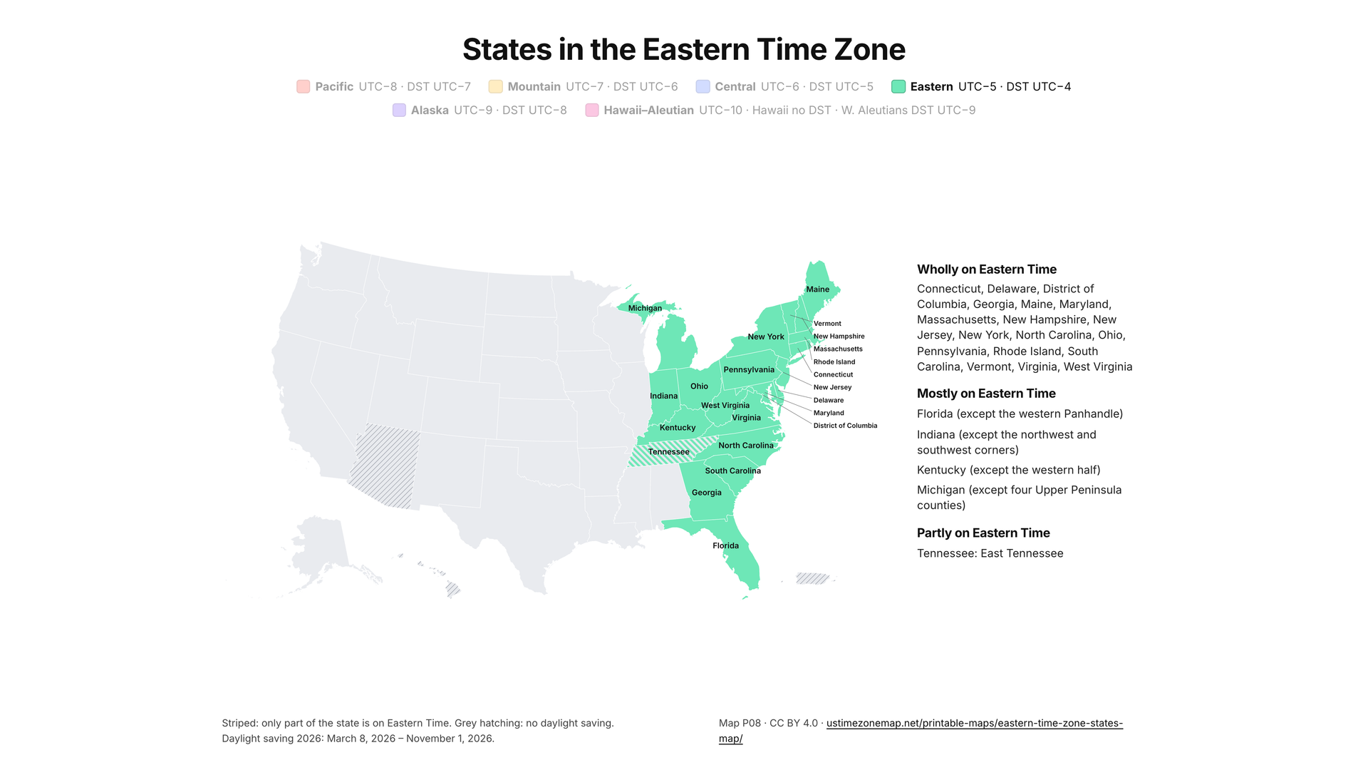
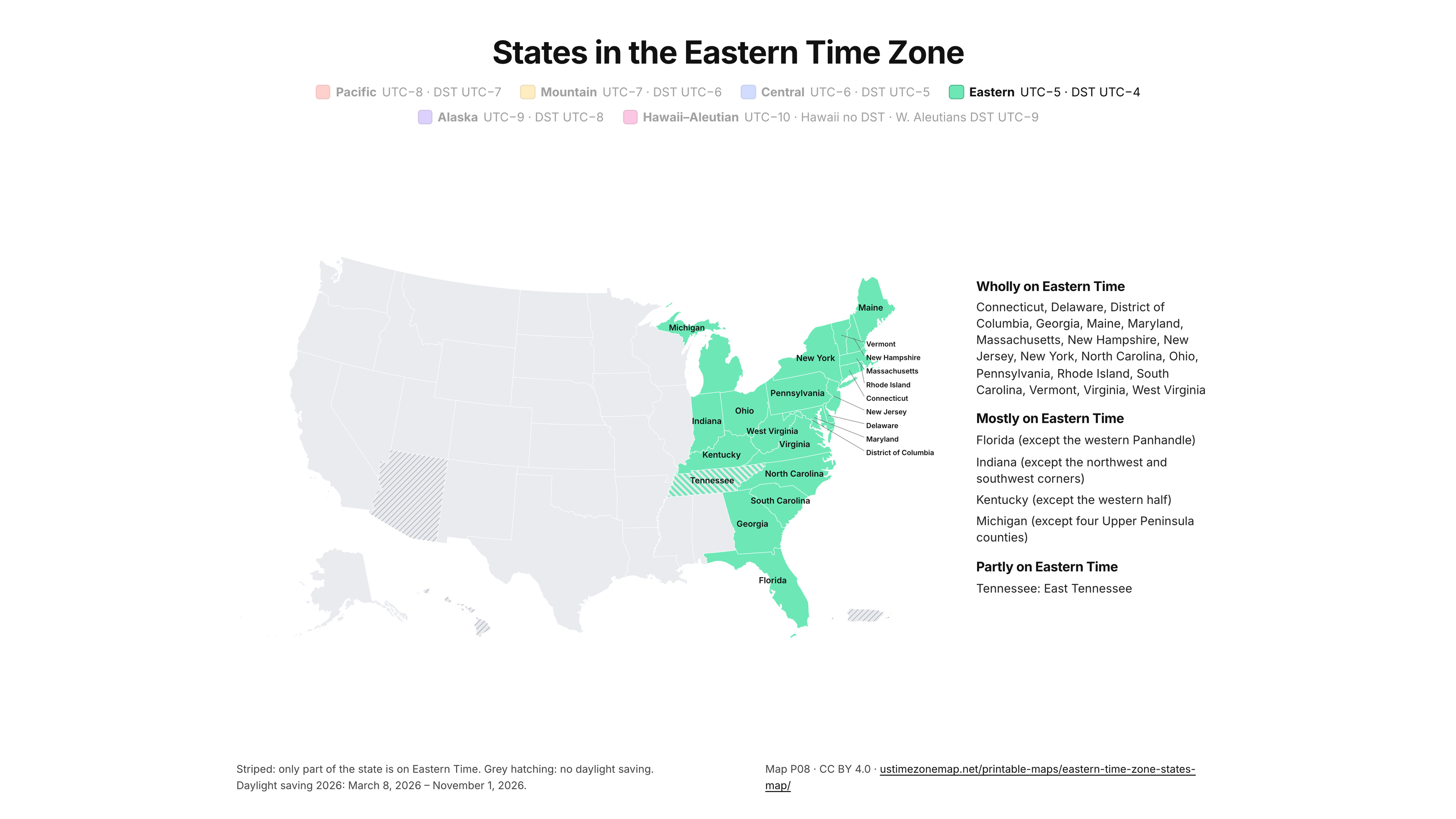
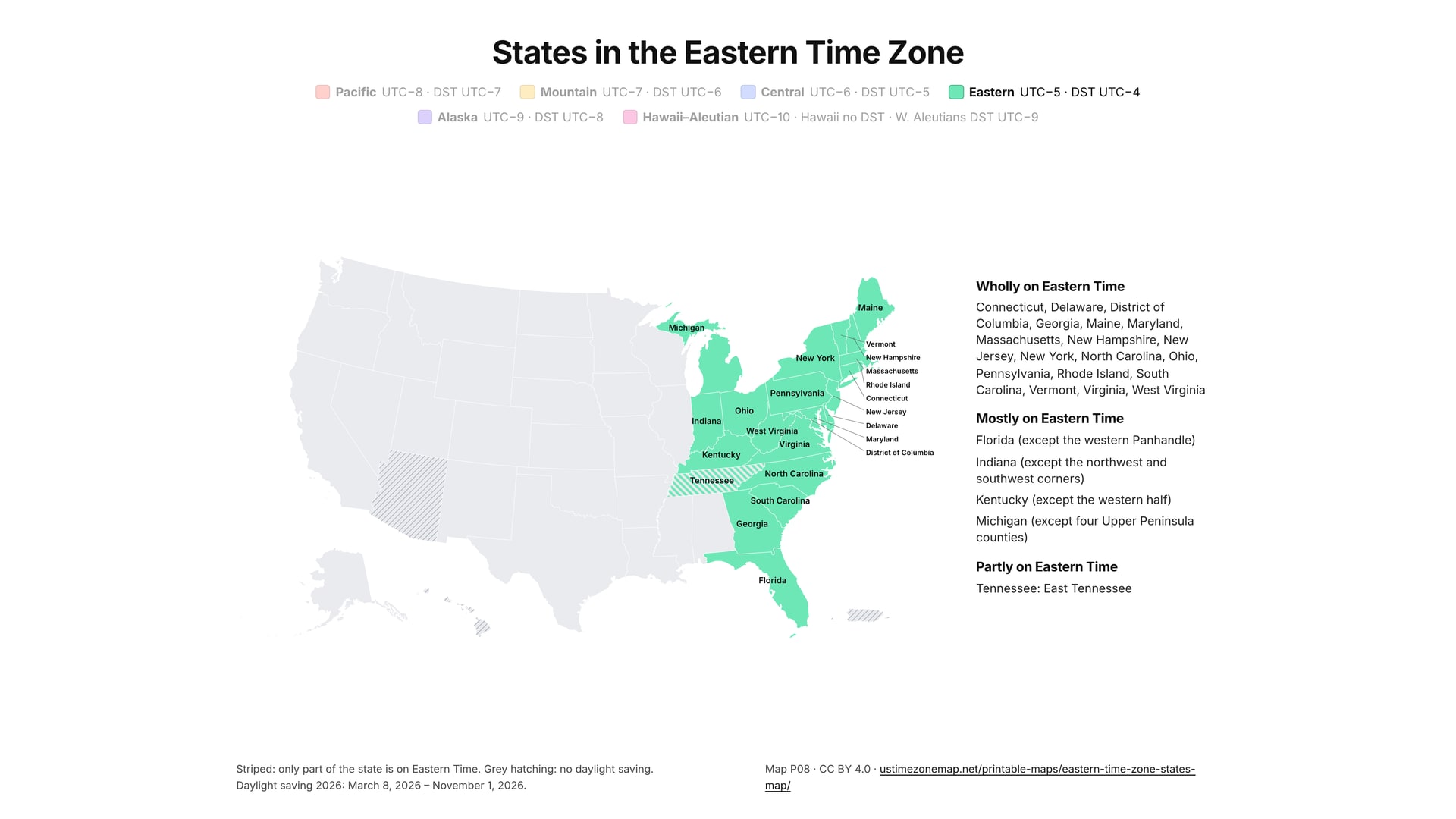
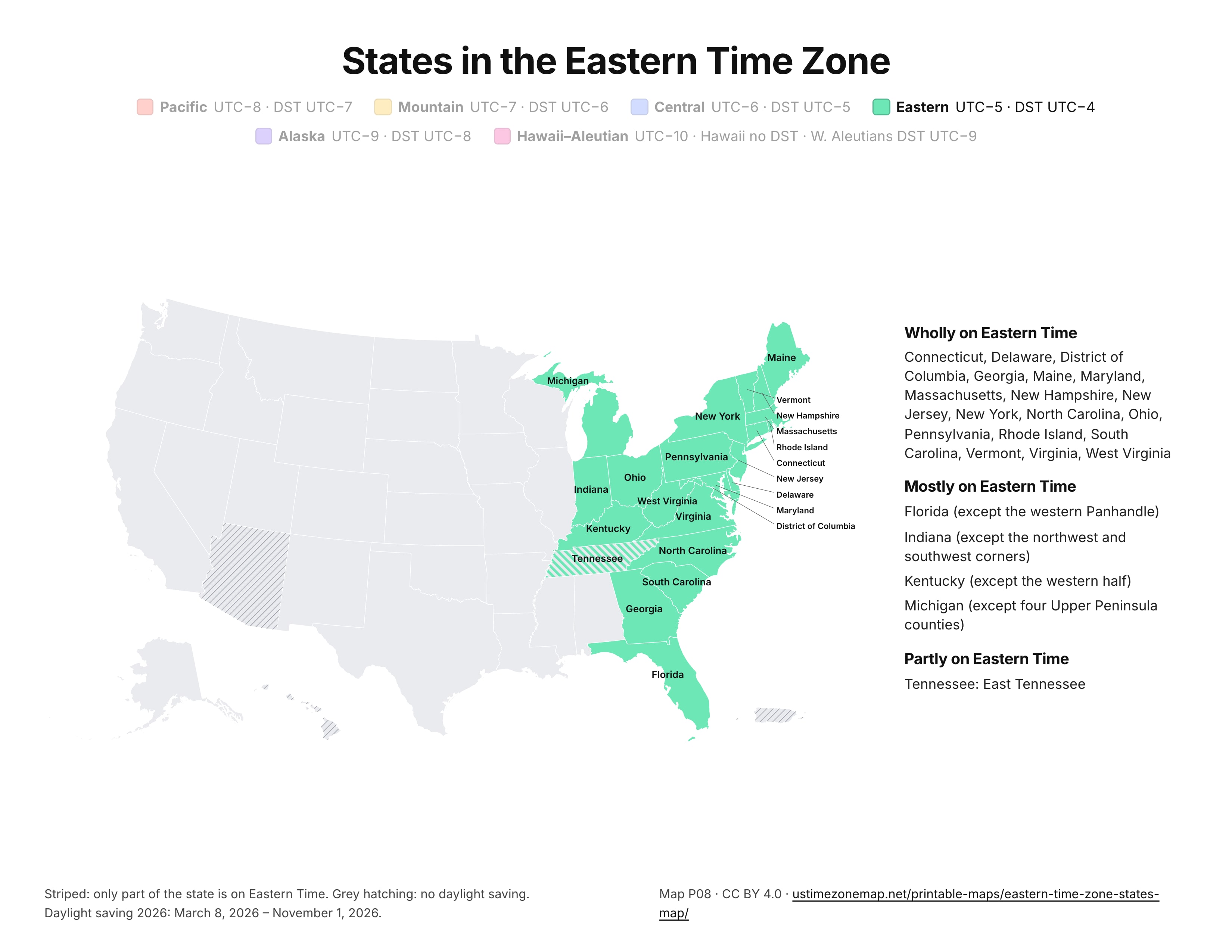
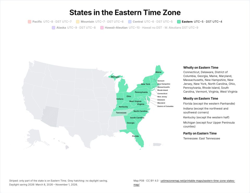 Printable Eastern Time Zone mapP08 · PDFImages: PNG 1080p · PNG 4K · JPG 1080p · Print JPG 300 dpi
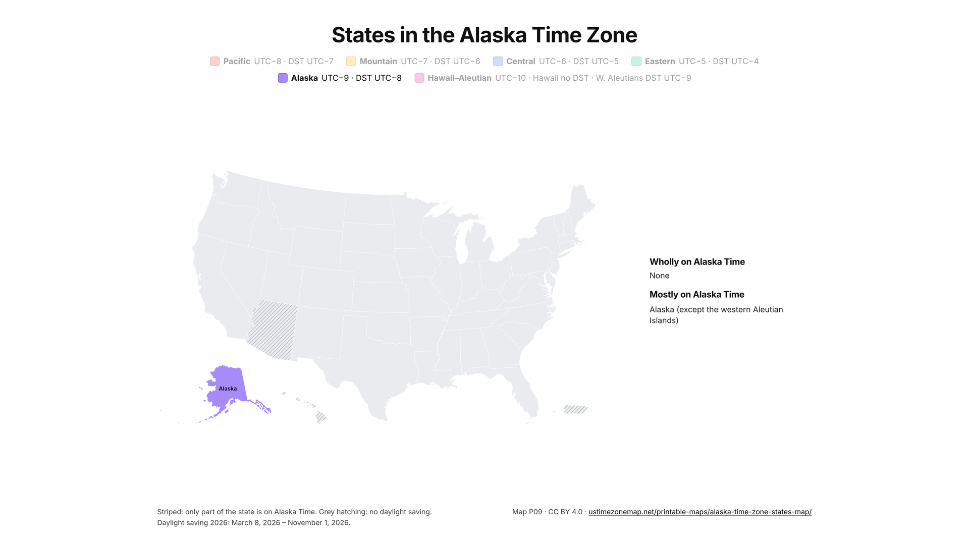
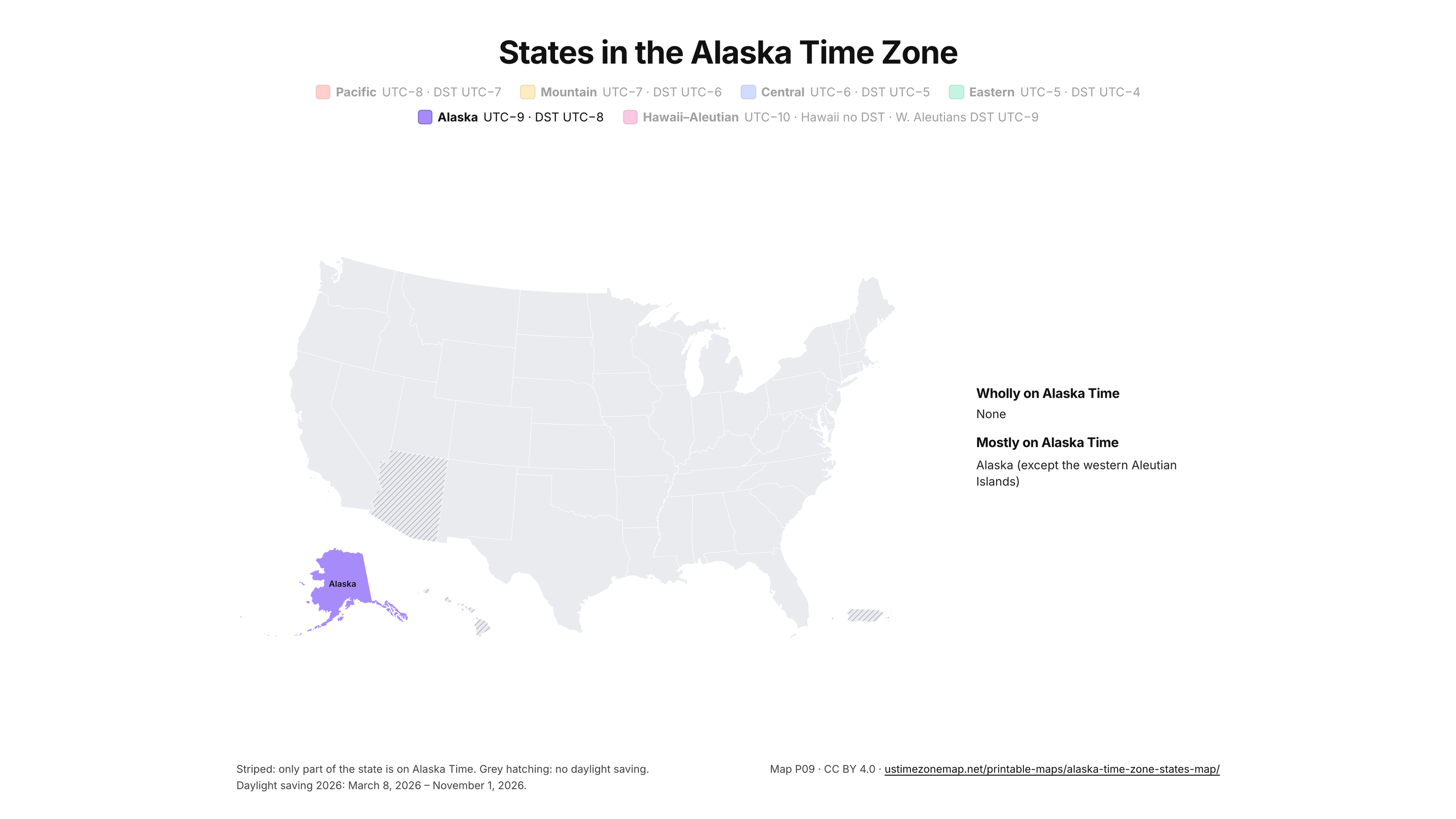
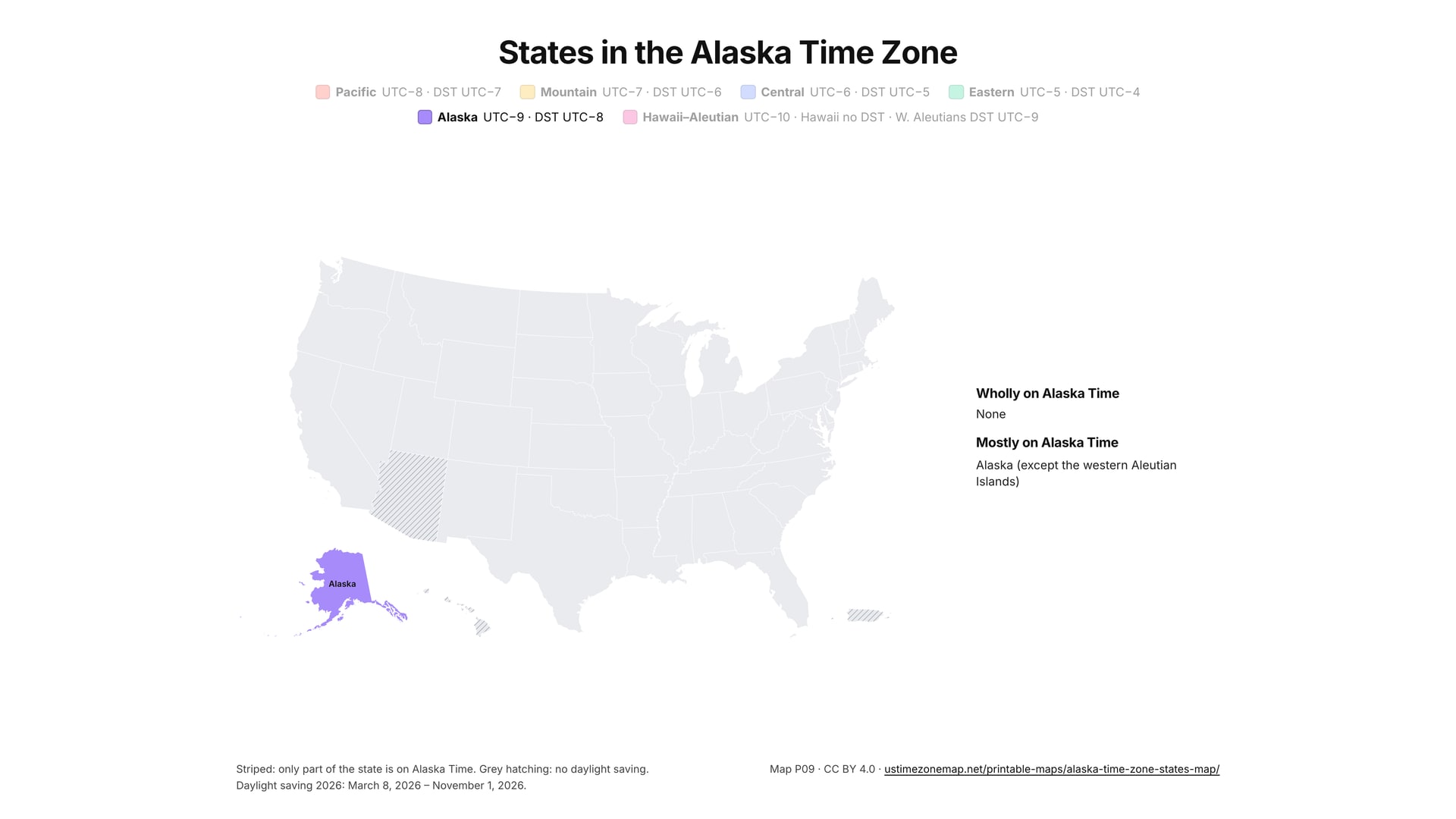
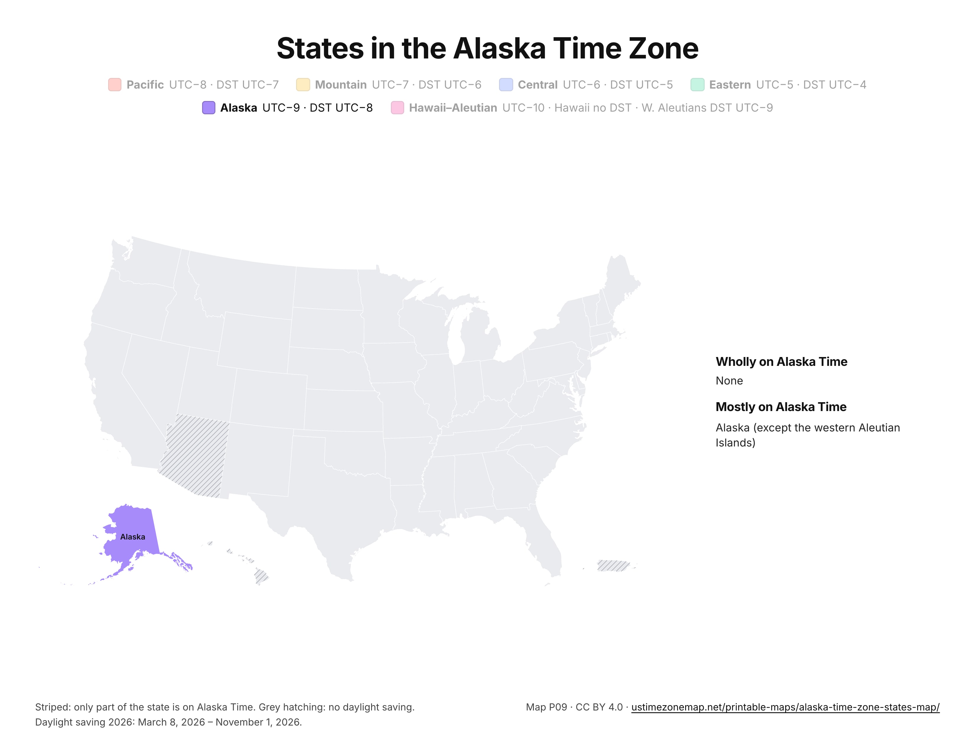
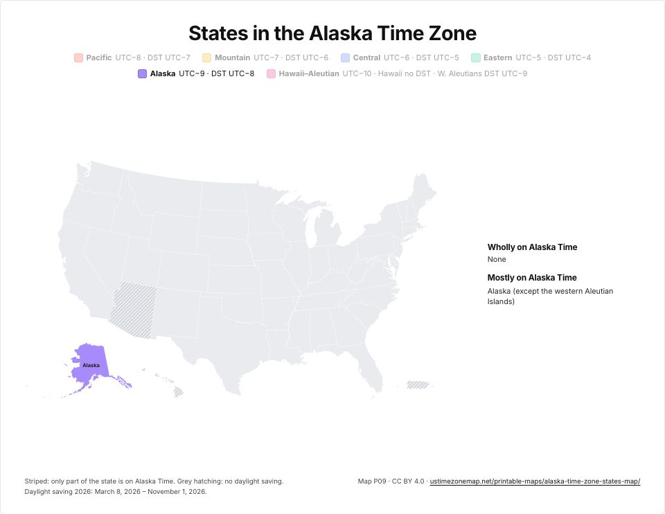 Printable Alaska Time Zone mapP09 · PDFImages: PNG 1080p · PNG 4K · JPG 1080p · Print JPG 300 dpi
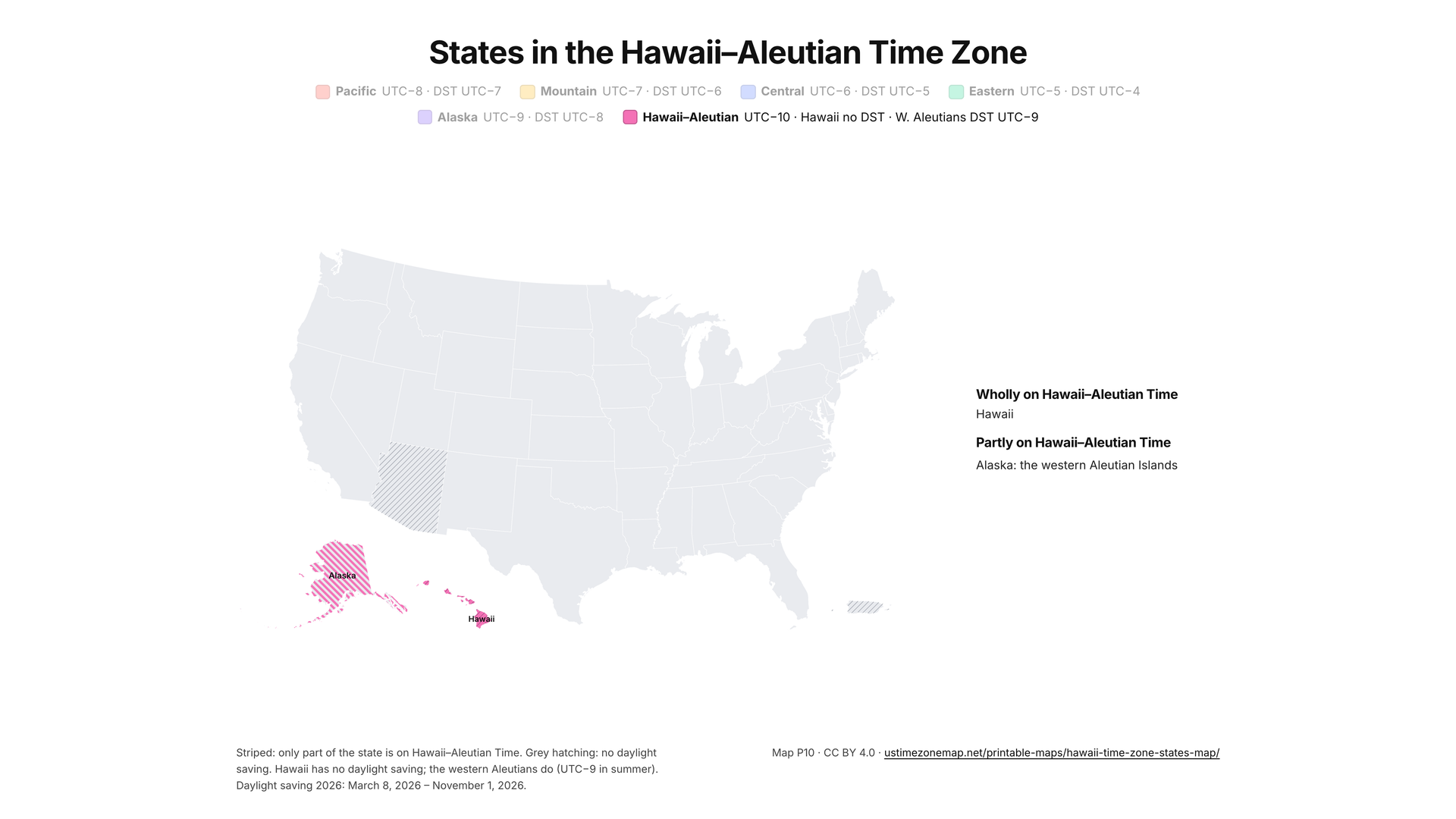
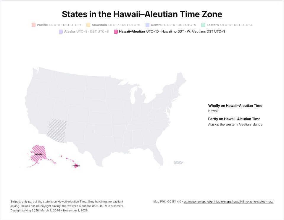 Printable Hawaii–Aleutian Time Zone mapP10 · PDFImages: PNG 1080p · PNG 4K · JPG 1080p · Print JPG 300 dpi
Stock market hours
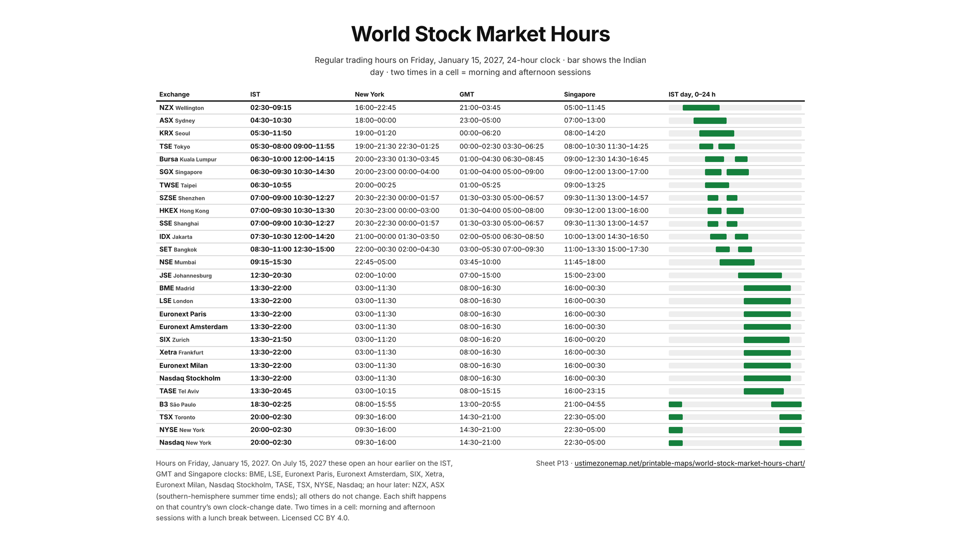
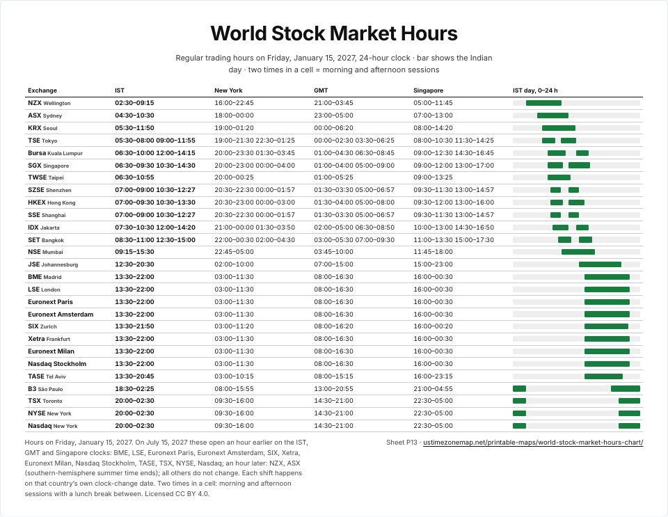 World stock market hours chartP13 · PDFImages: PNG 1080p · PNG 4K · JPG 1080p · Print JPG 300 dpi
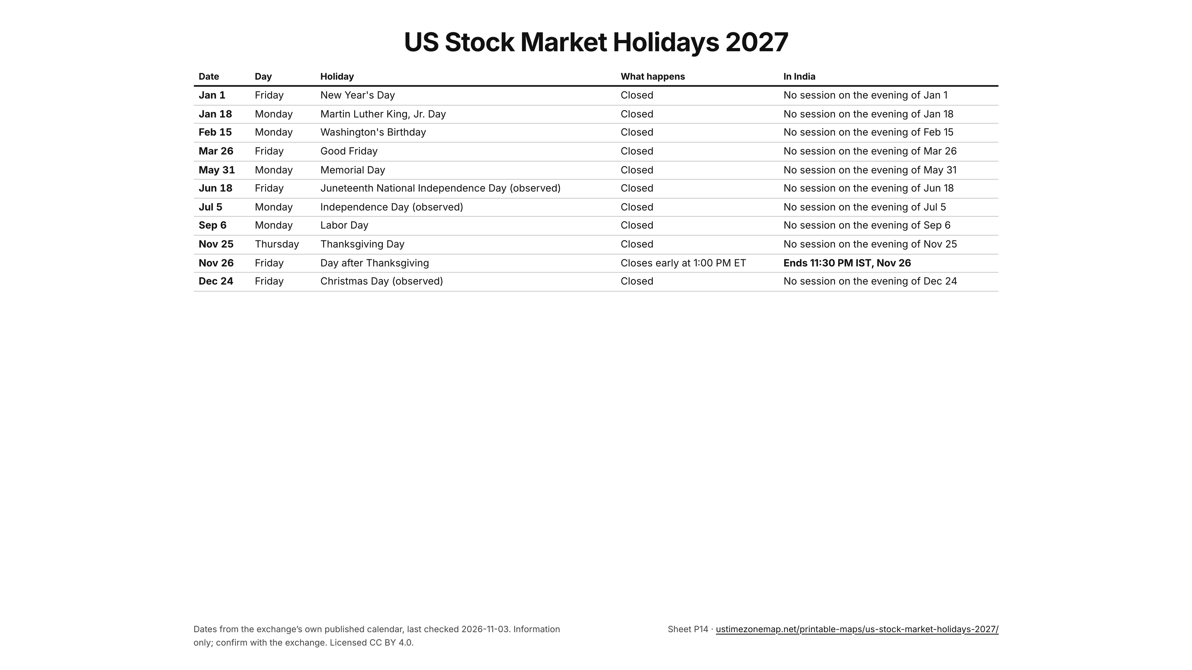
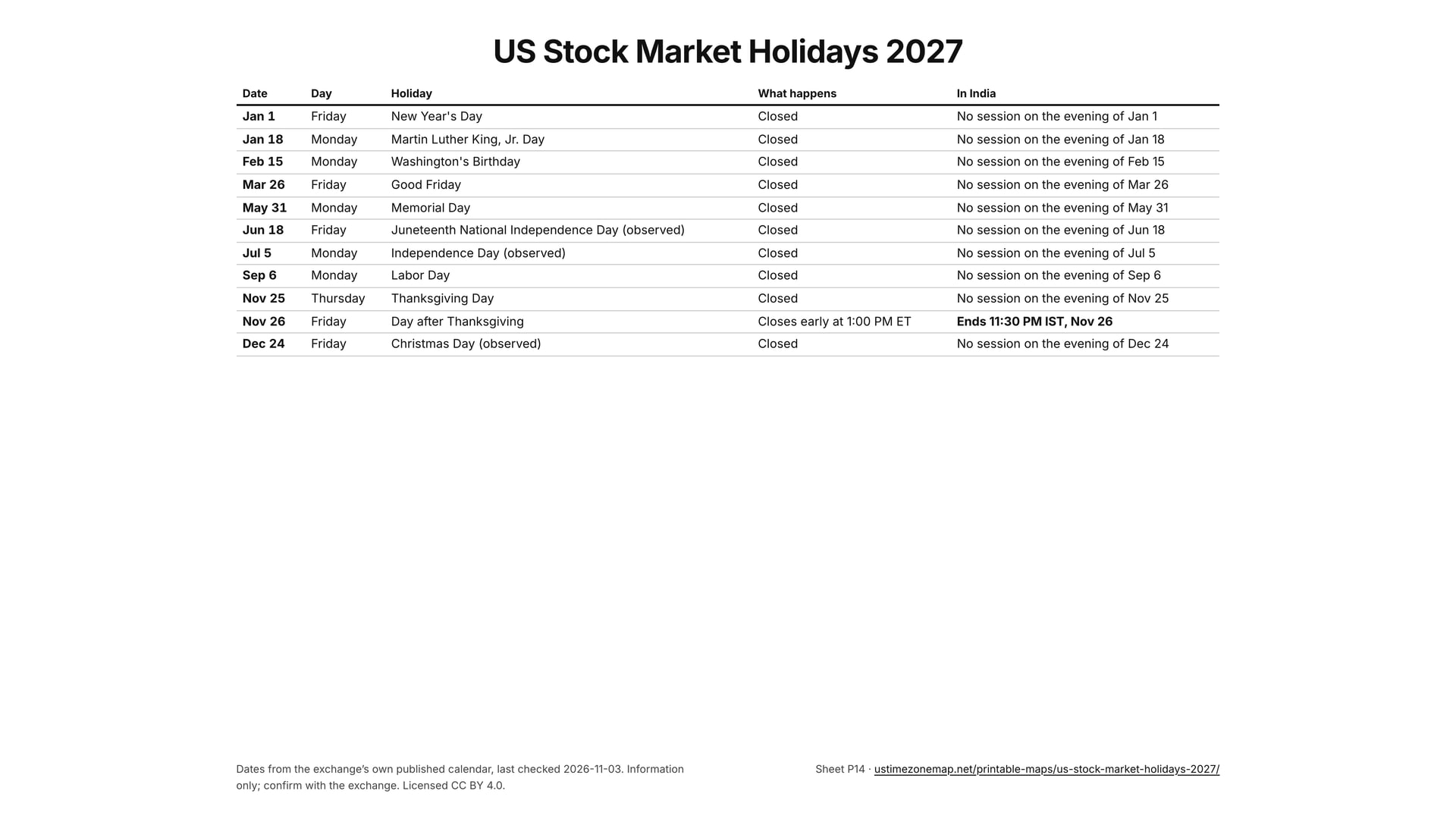
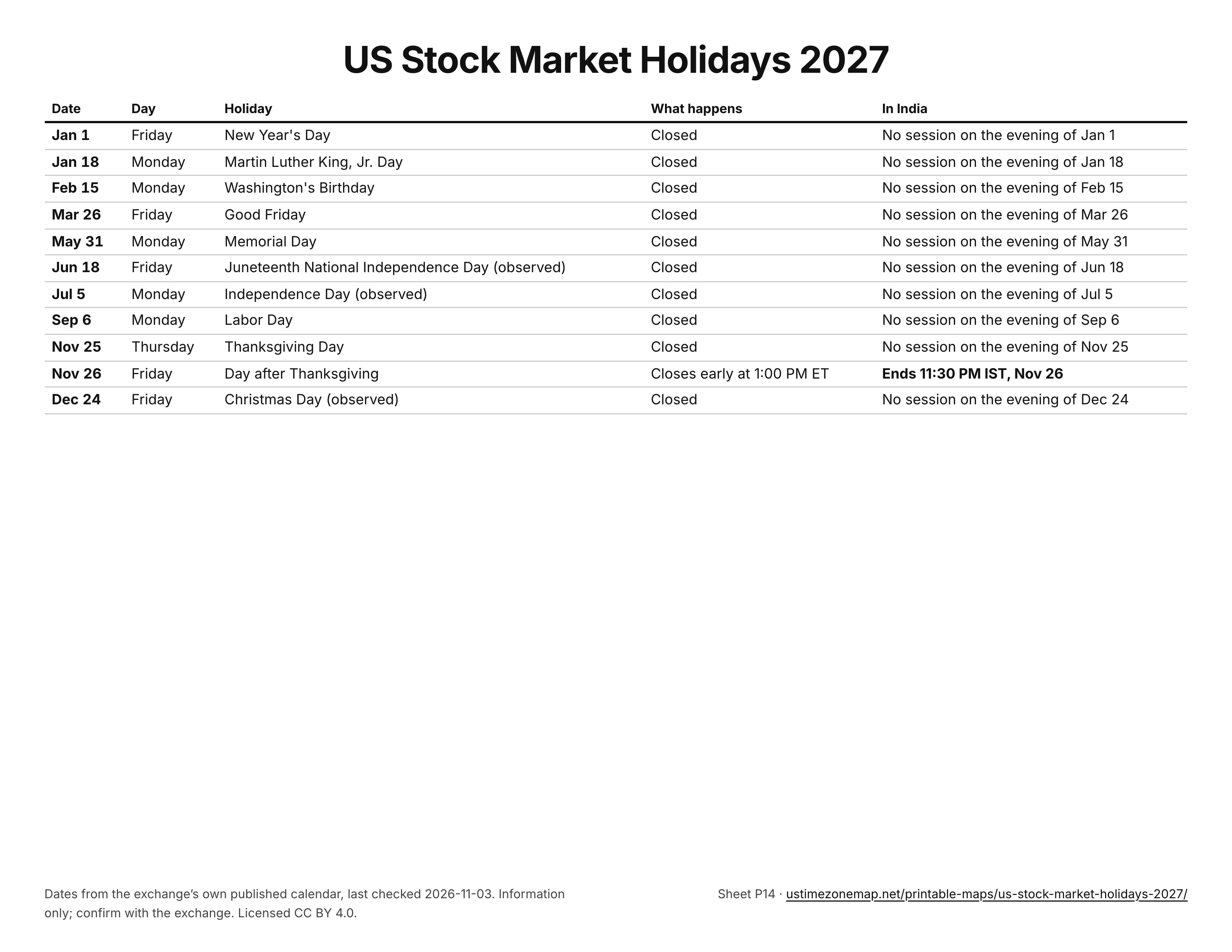
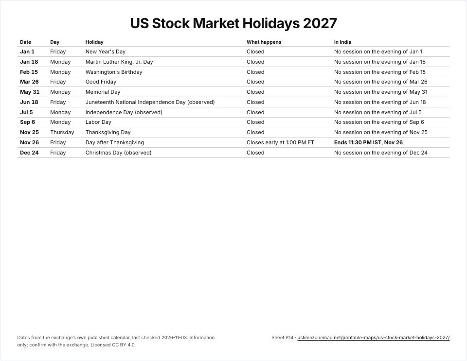 US stock market holidays 2027P14 · PDFImages: PNG 1080p · PNG 4K · JPG 1080p · Print JPG 300 dpi
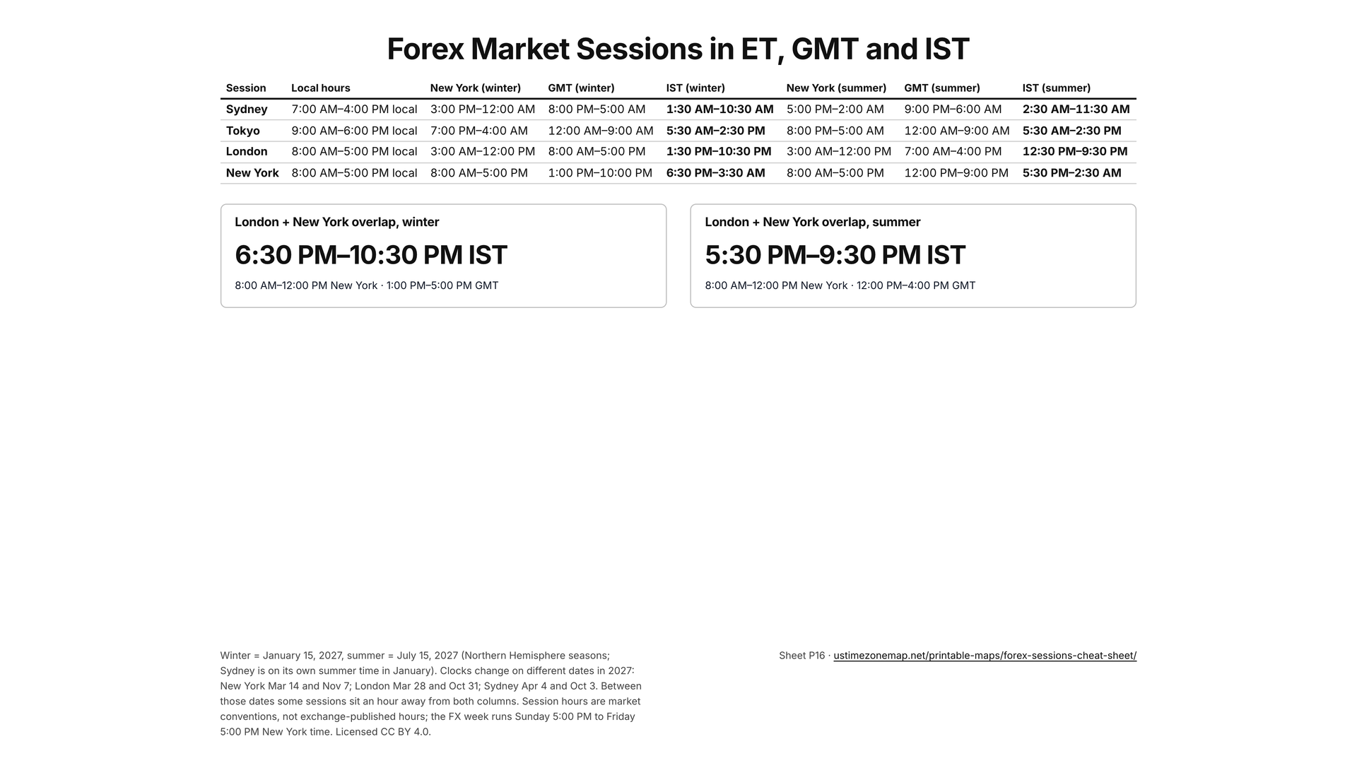
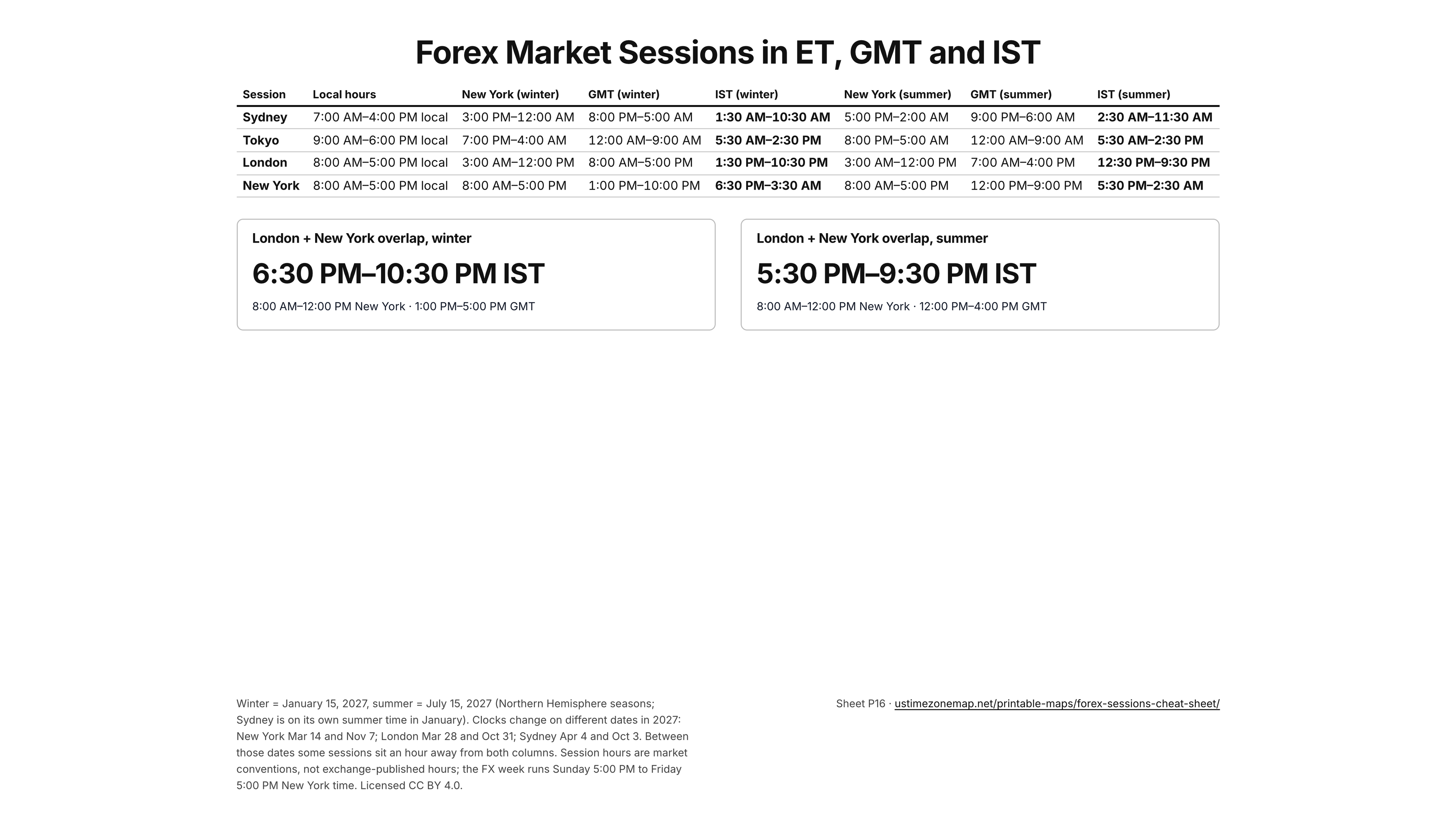
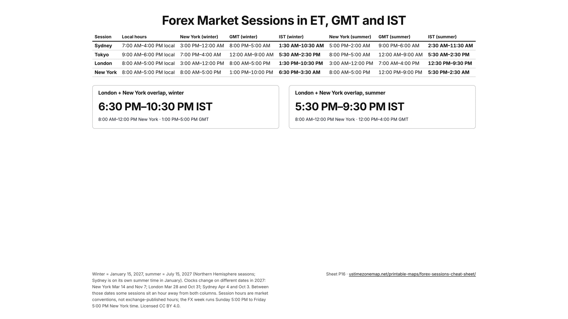
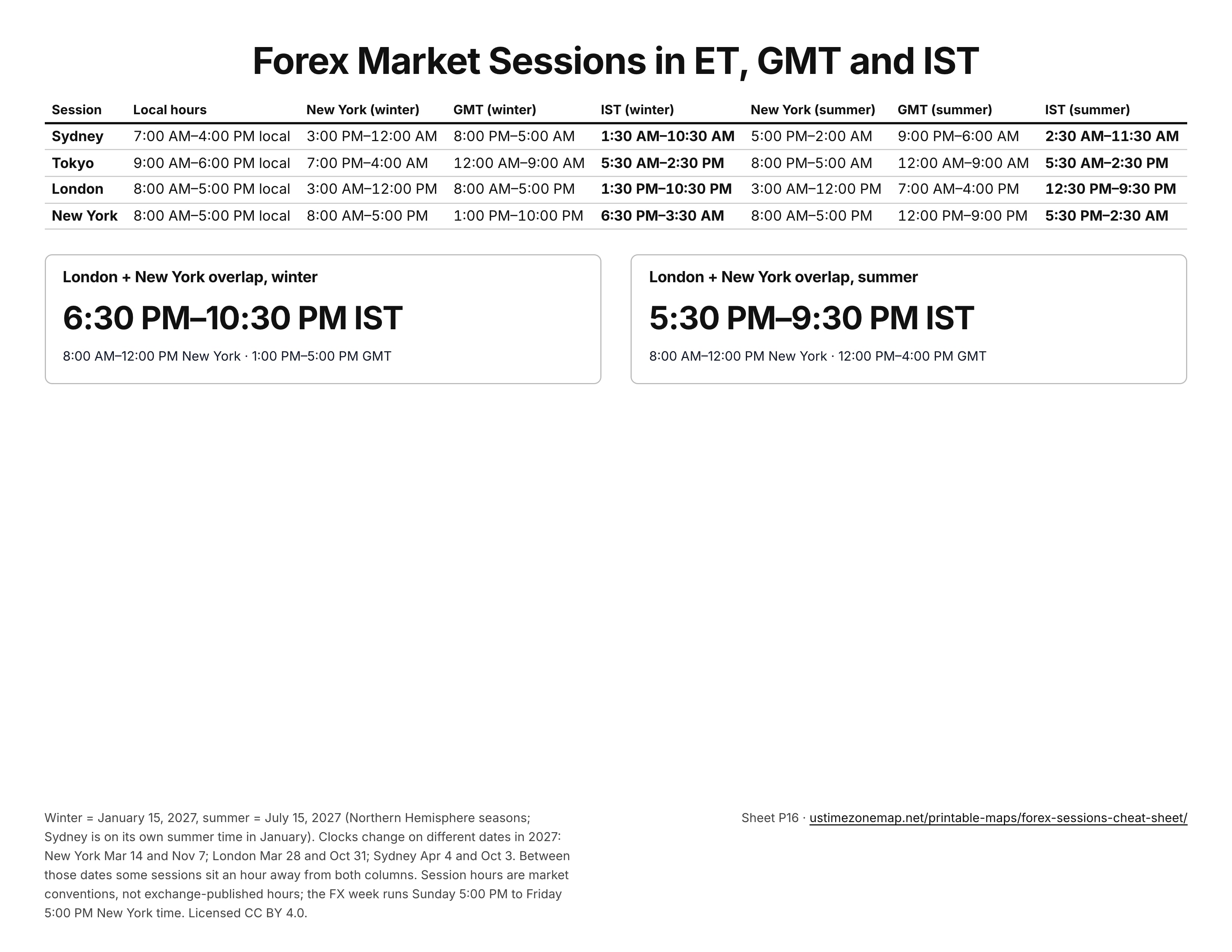
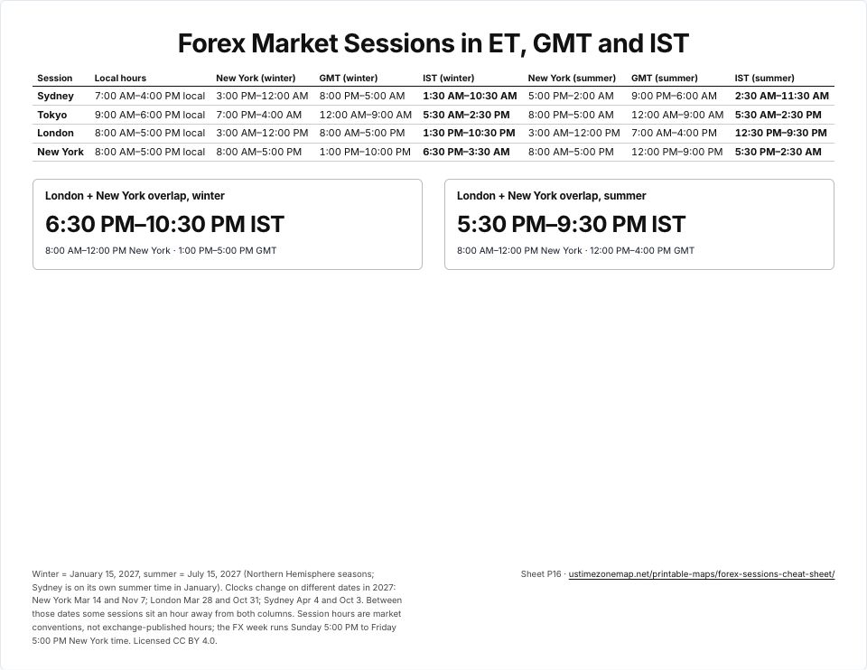 Forex sessions cheat sheetP16 · PDFImages: PNG 1080p · PNG 4K · JPG 1080p · Print JPG 300 dpi
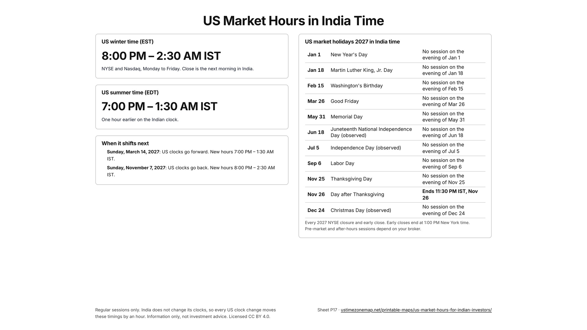
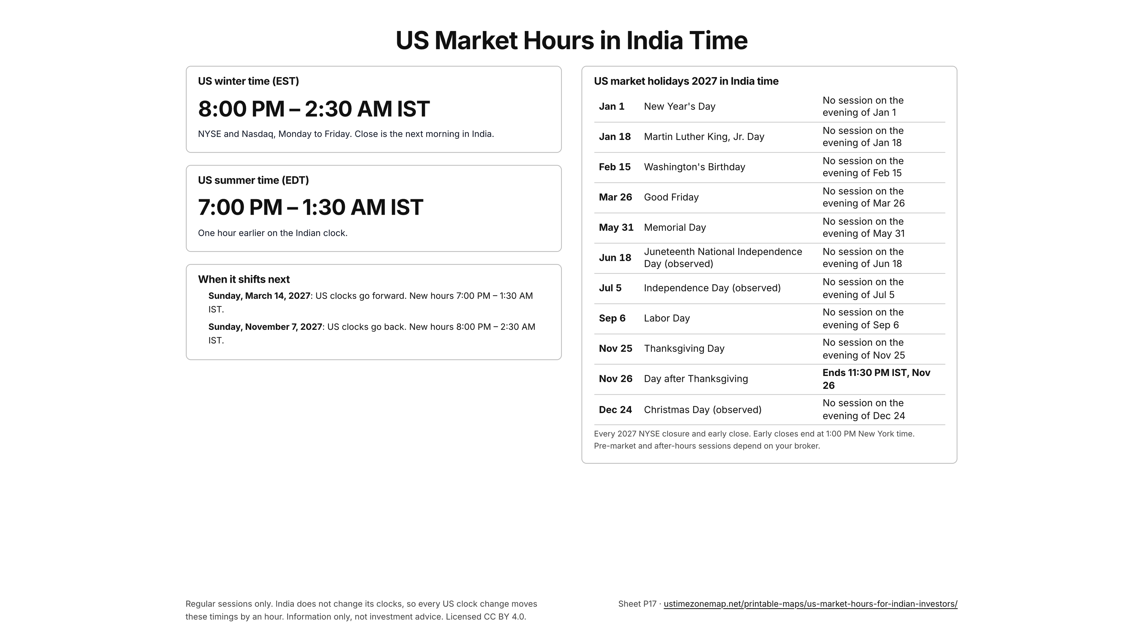
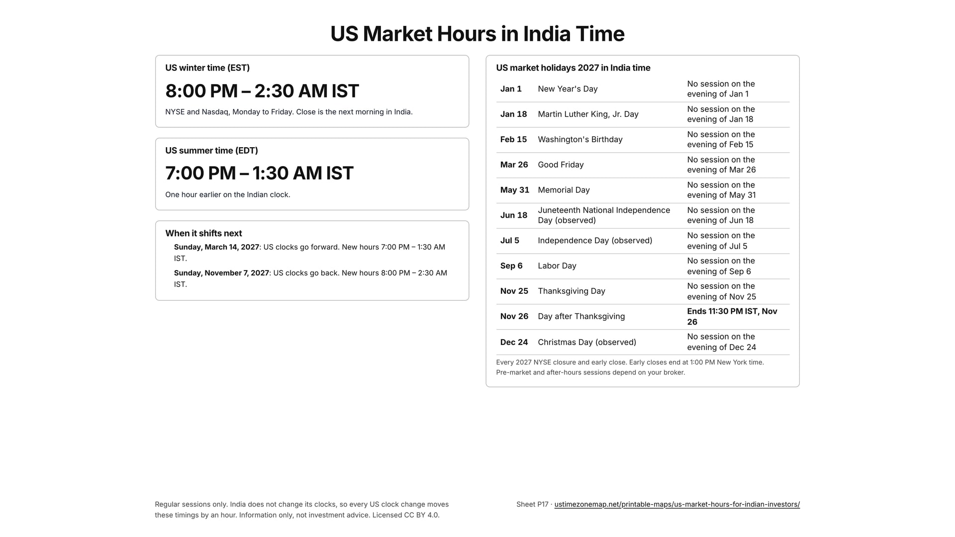
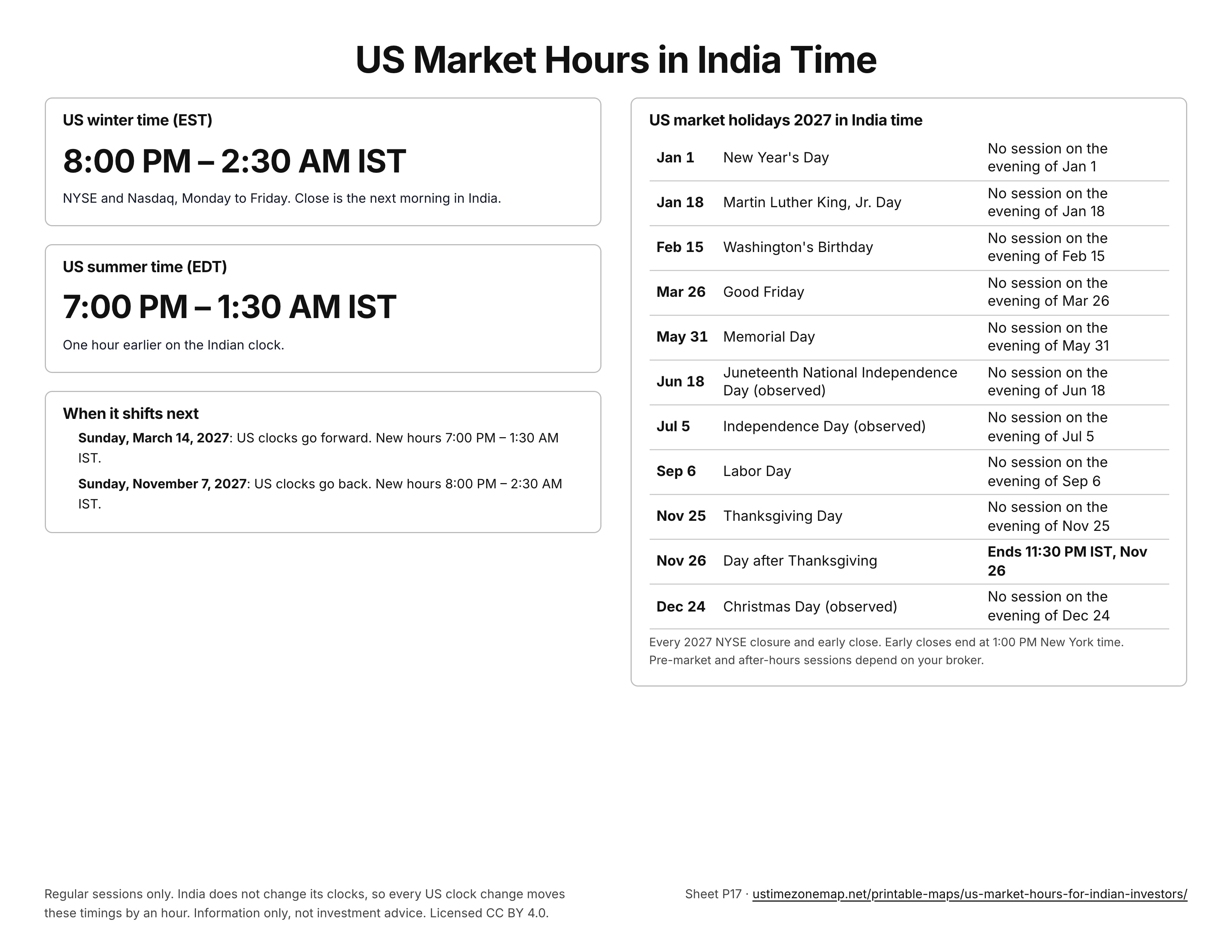
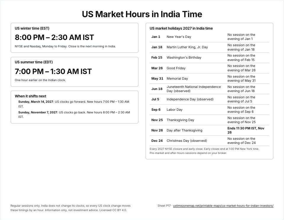 US market hours for Indian investorsP17 · PDFImages: PNG 1080p · PNG 4K · JPG 1080p · Print JPG 300 dpi
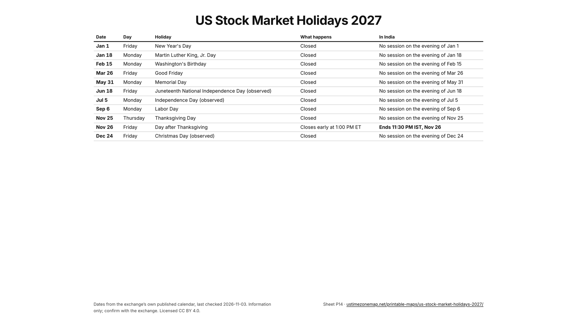
Templates for teams across time zones
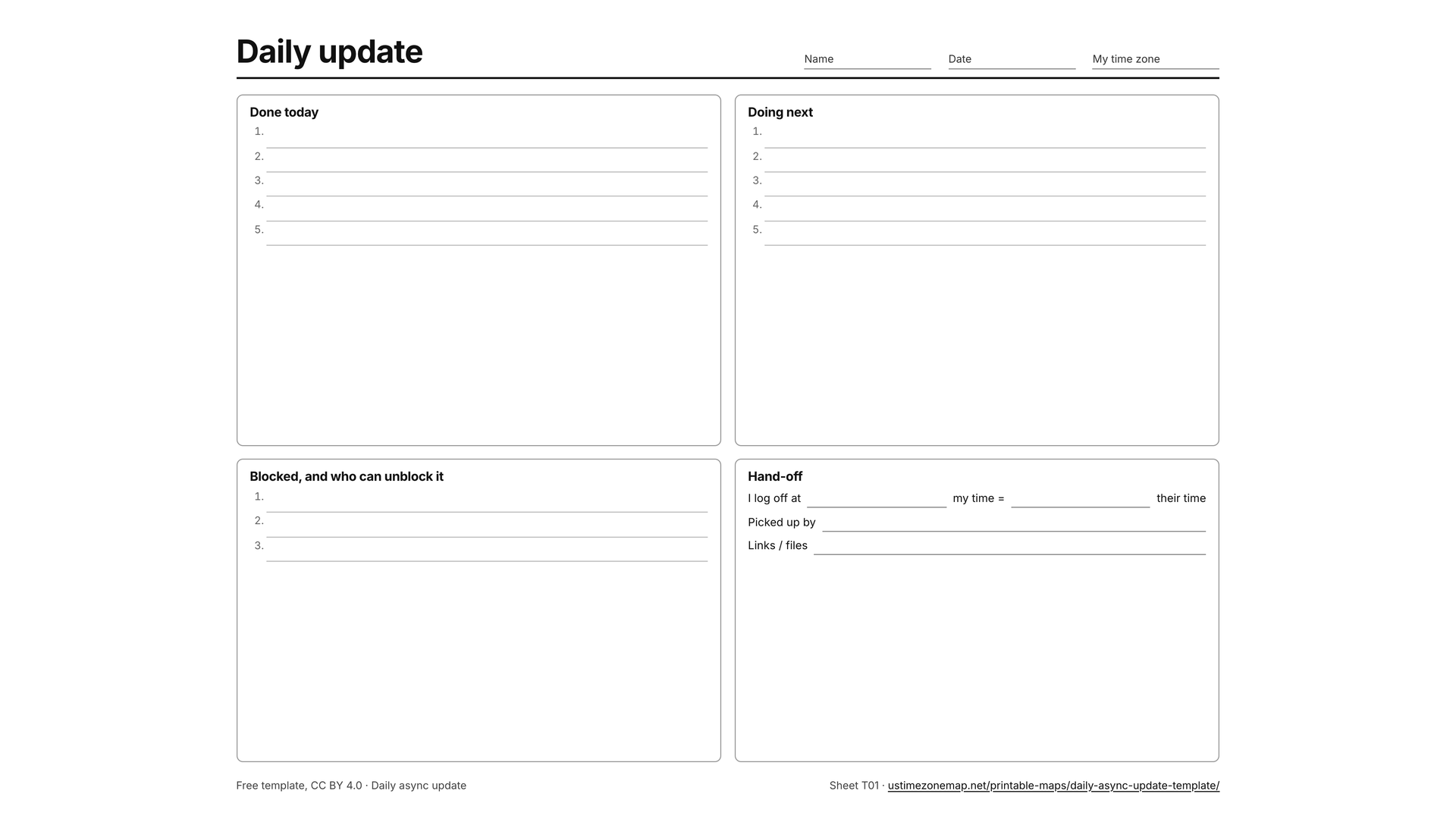
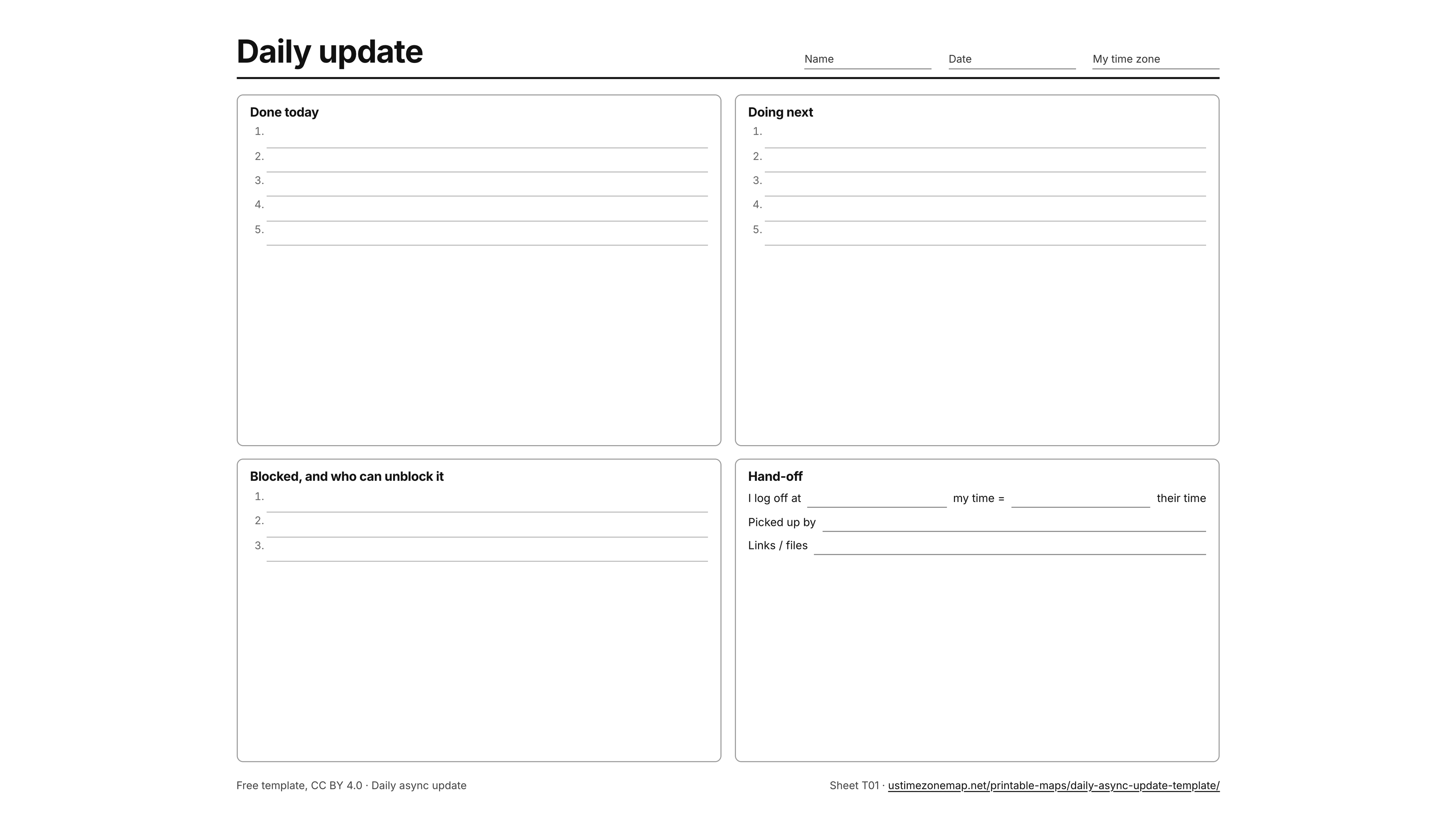
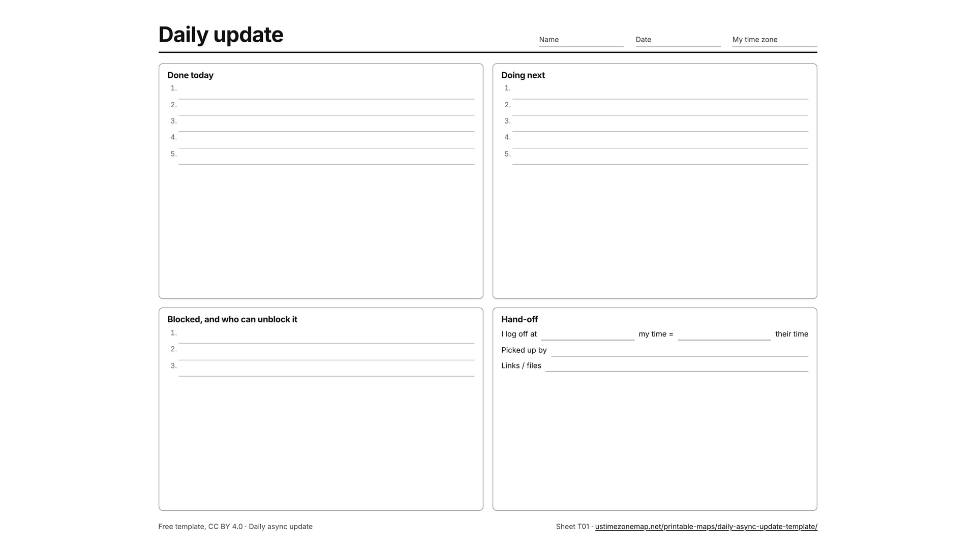
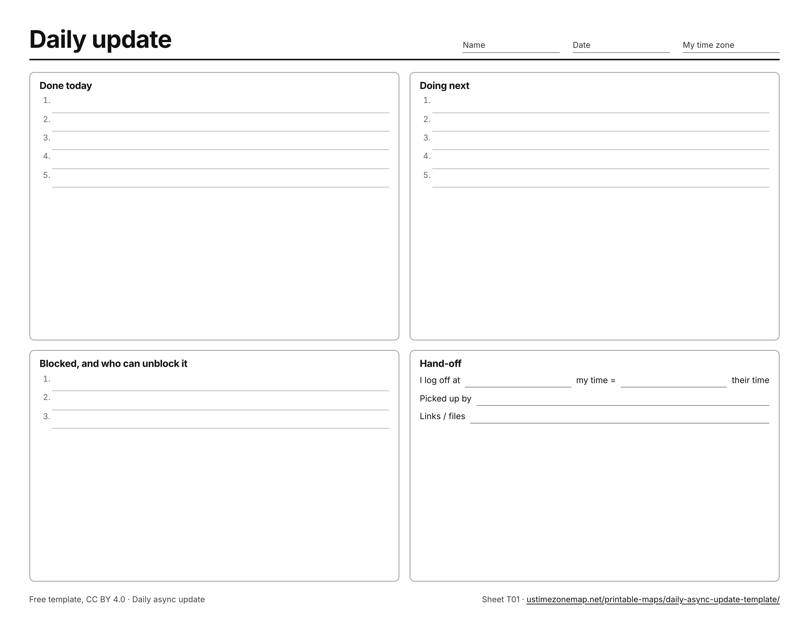
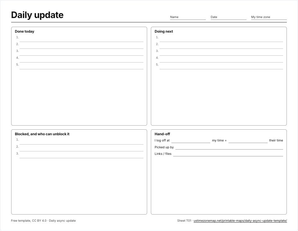 Daily async update templateT01 · PDFImages: PNG 1080p · PNG 4K · JPG 1080p · Print JPG 300 dpi
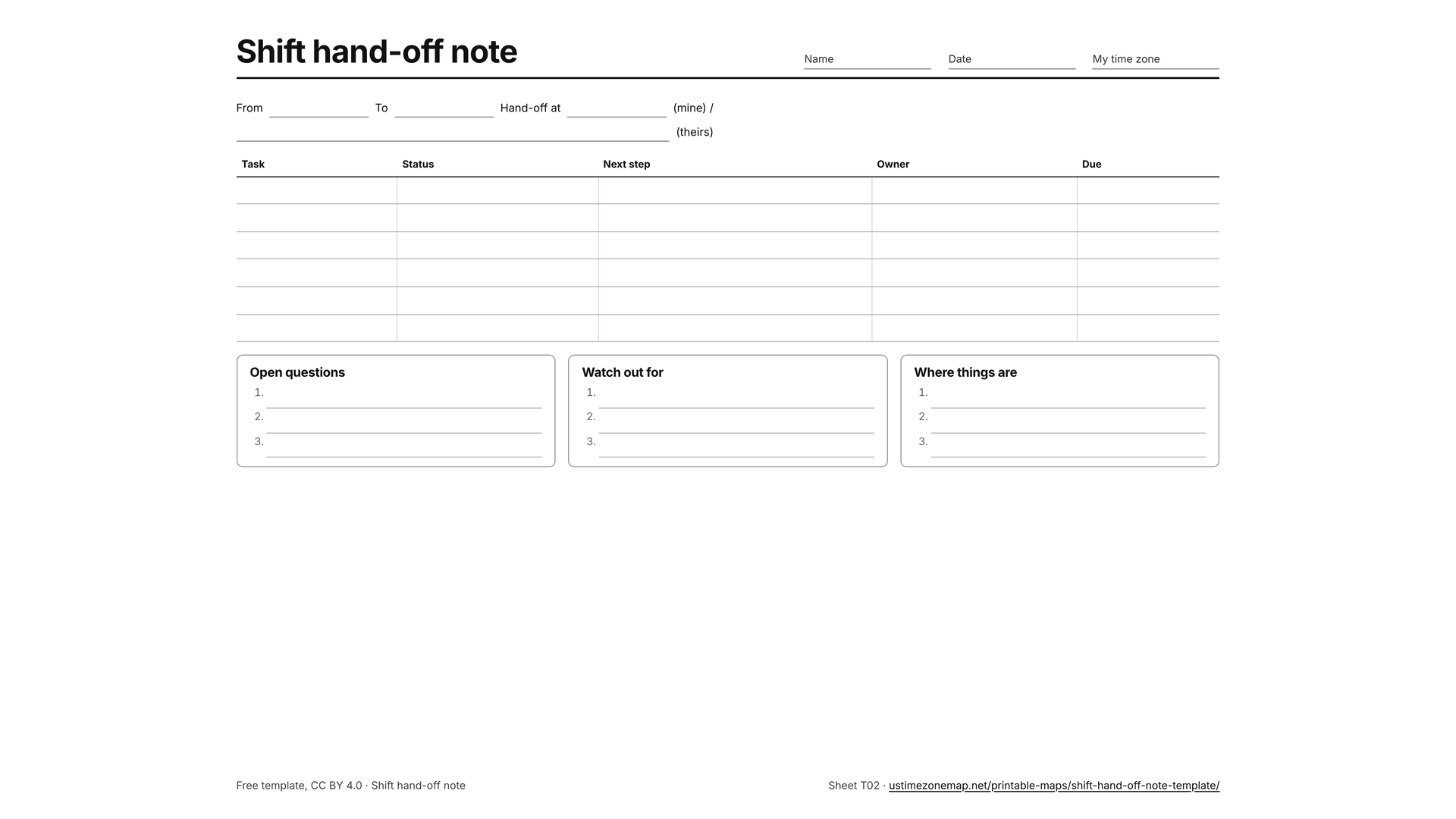
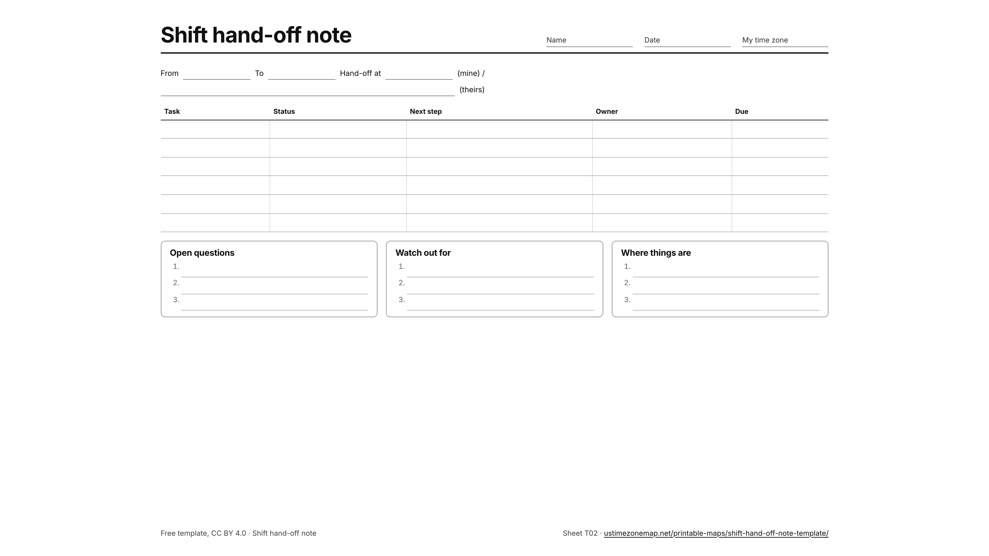
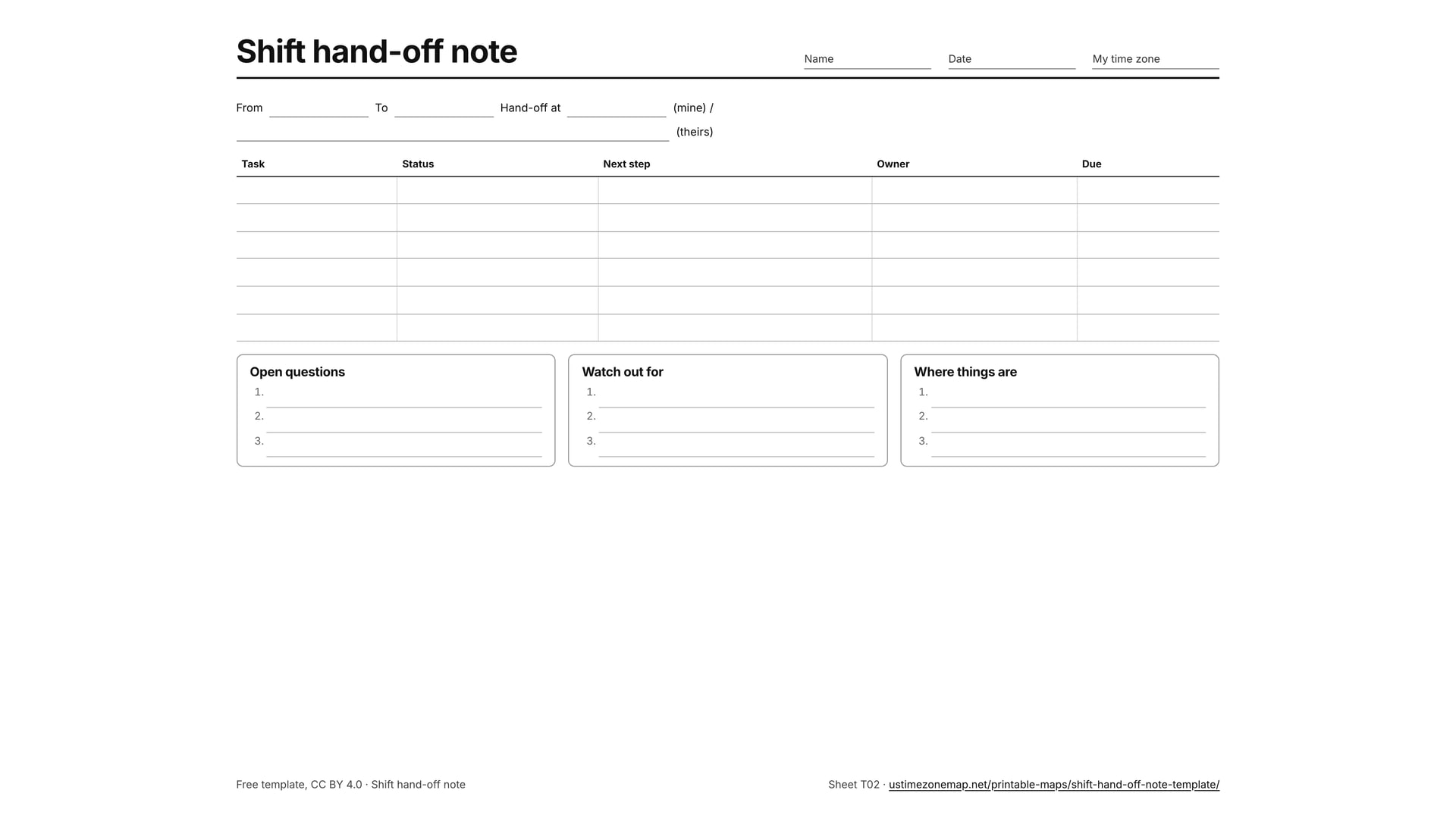
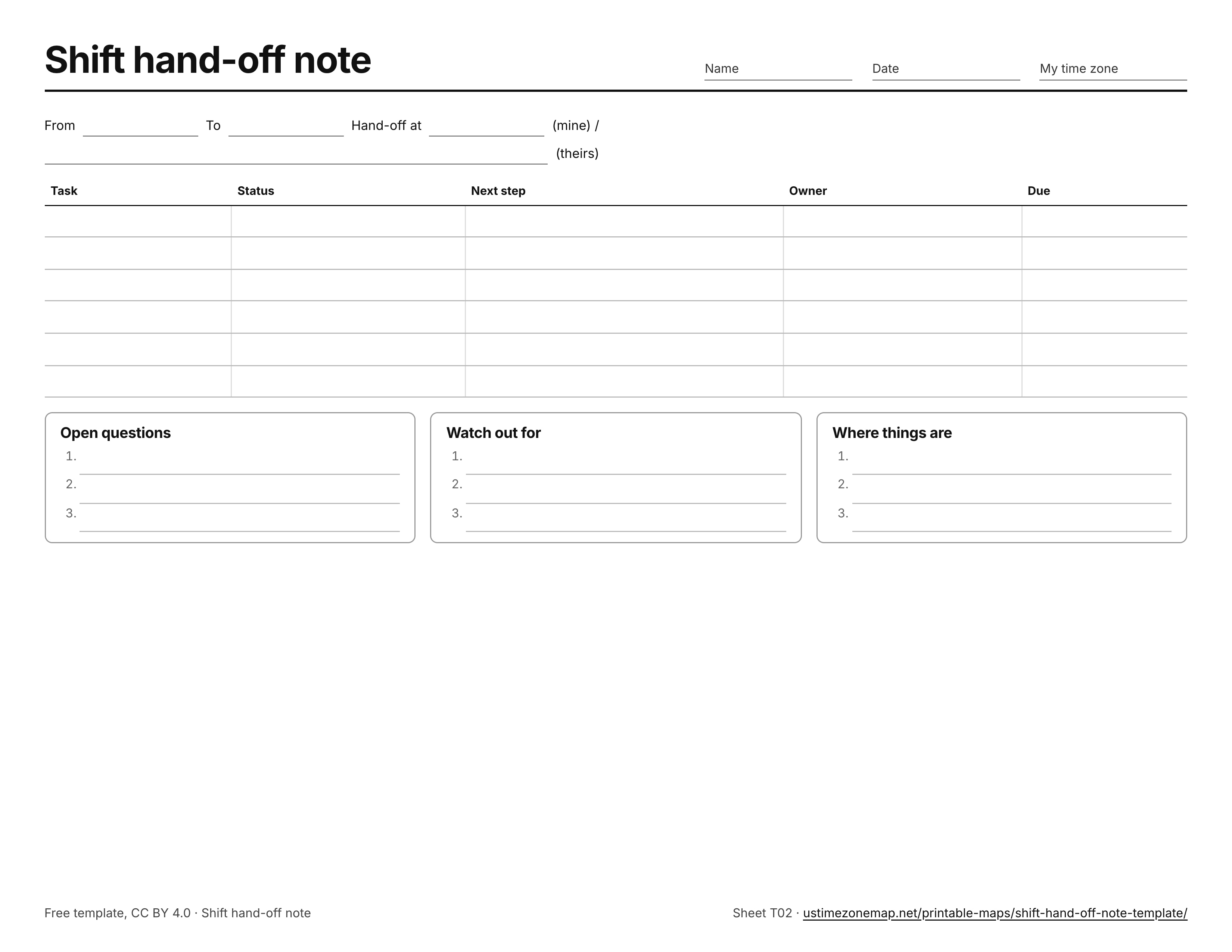
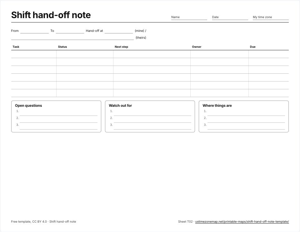 Shift hand-off note templateT02 · PDFImages: PNG 1080p · PNG 4K · JPG 1080p · Print JPG 300 dpi
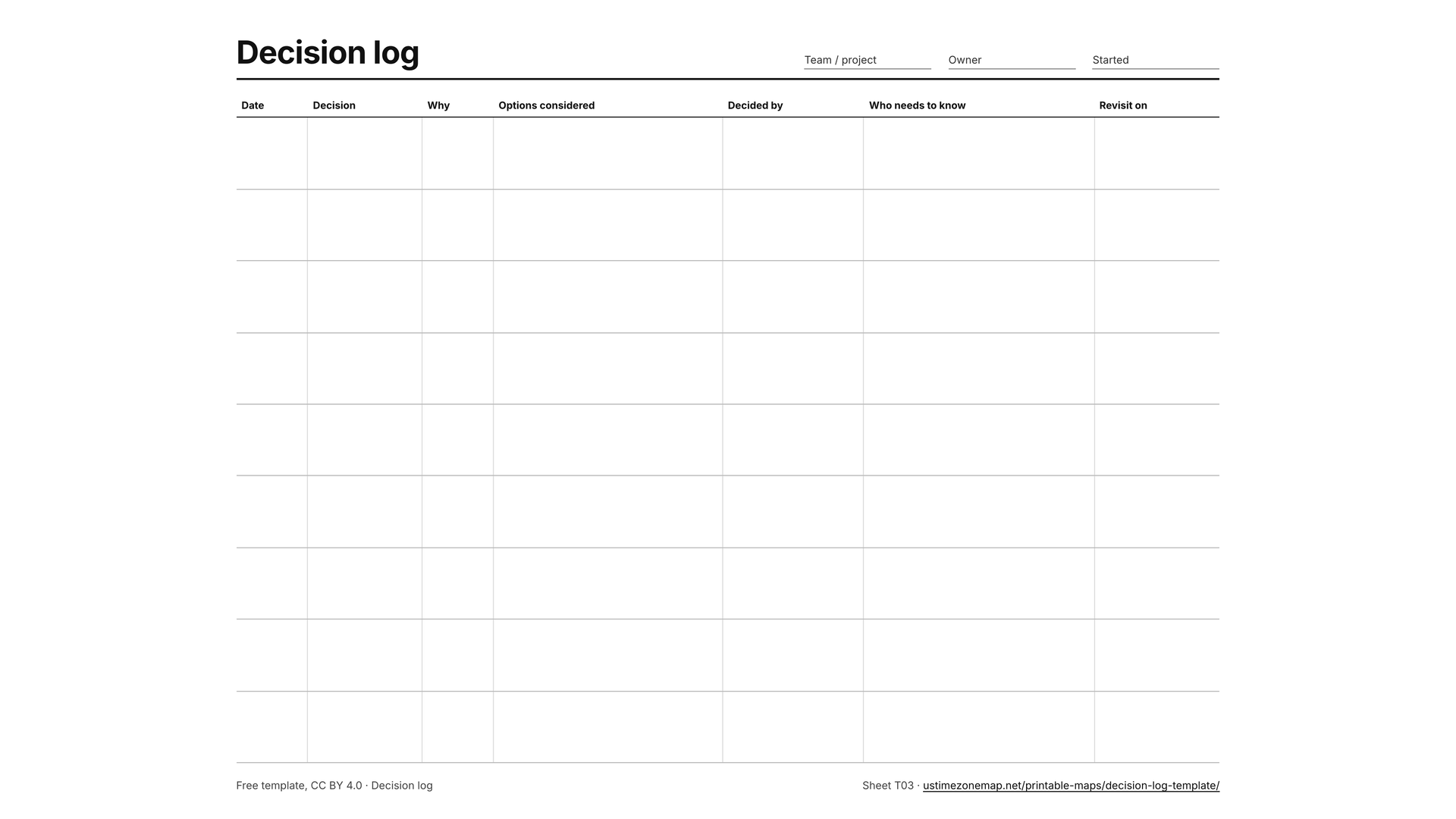
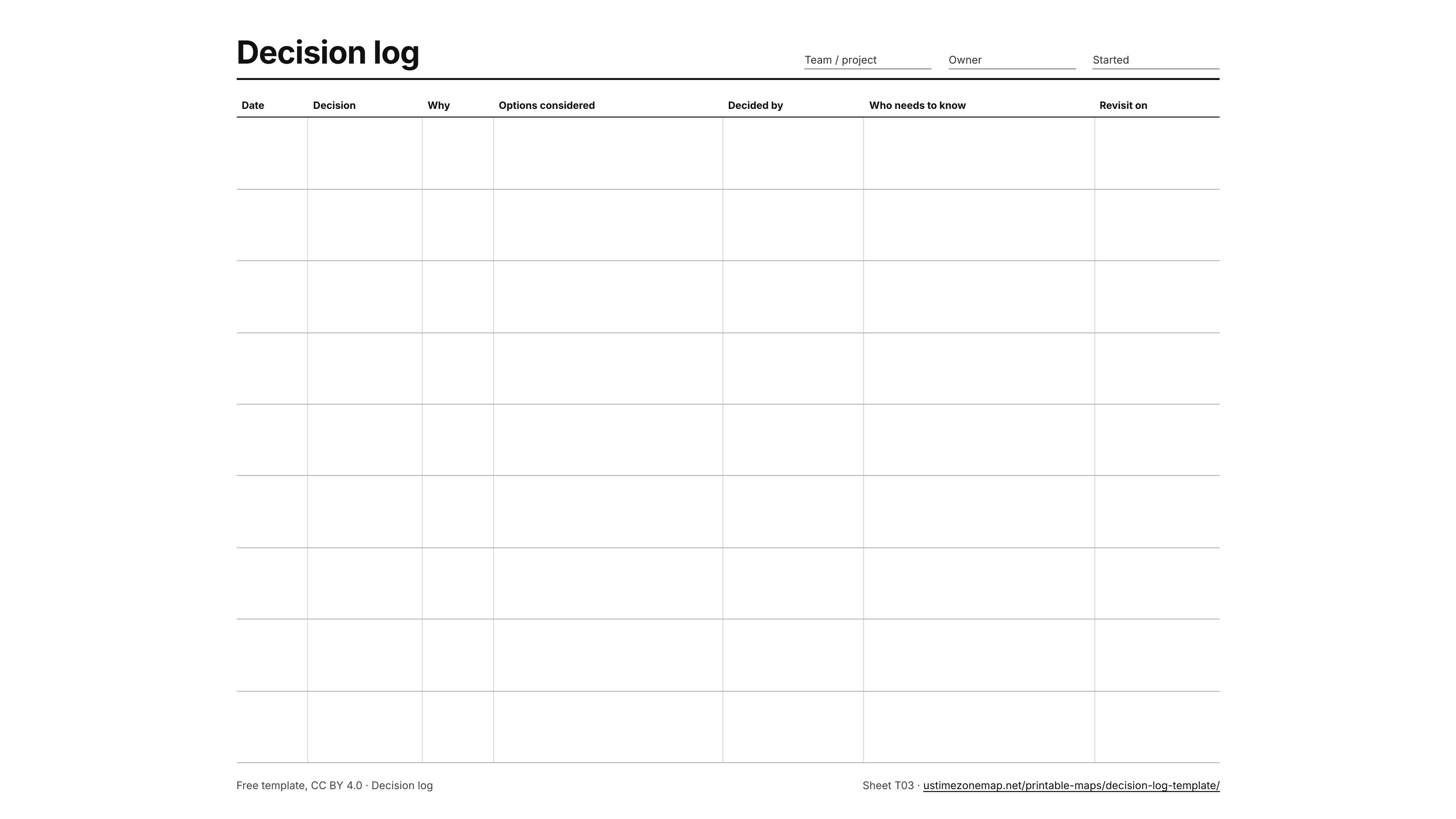
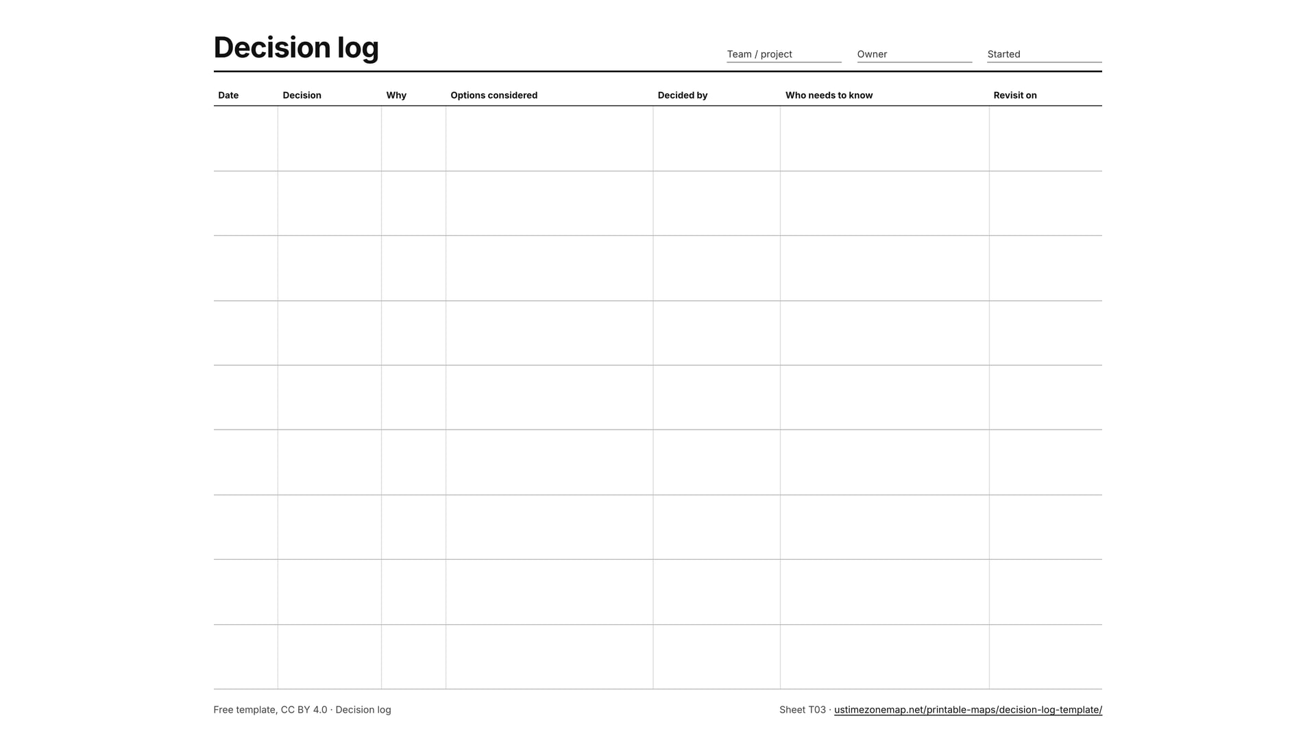
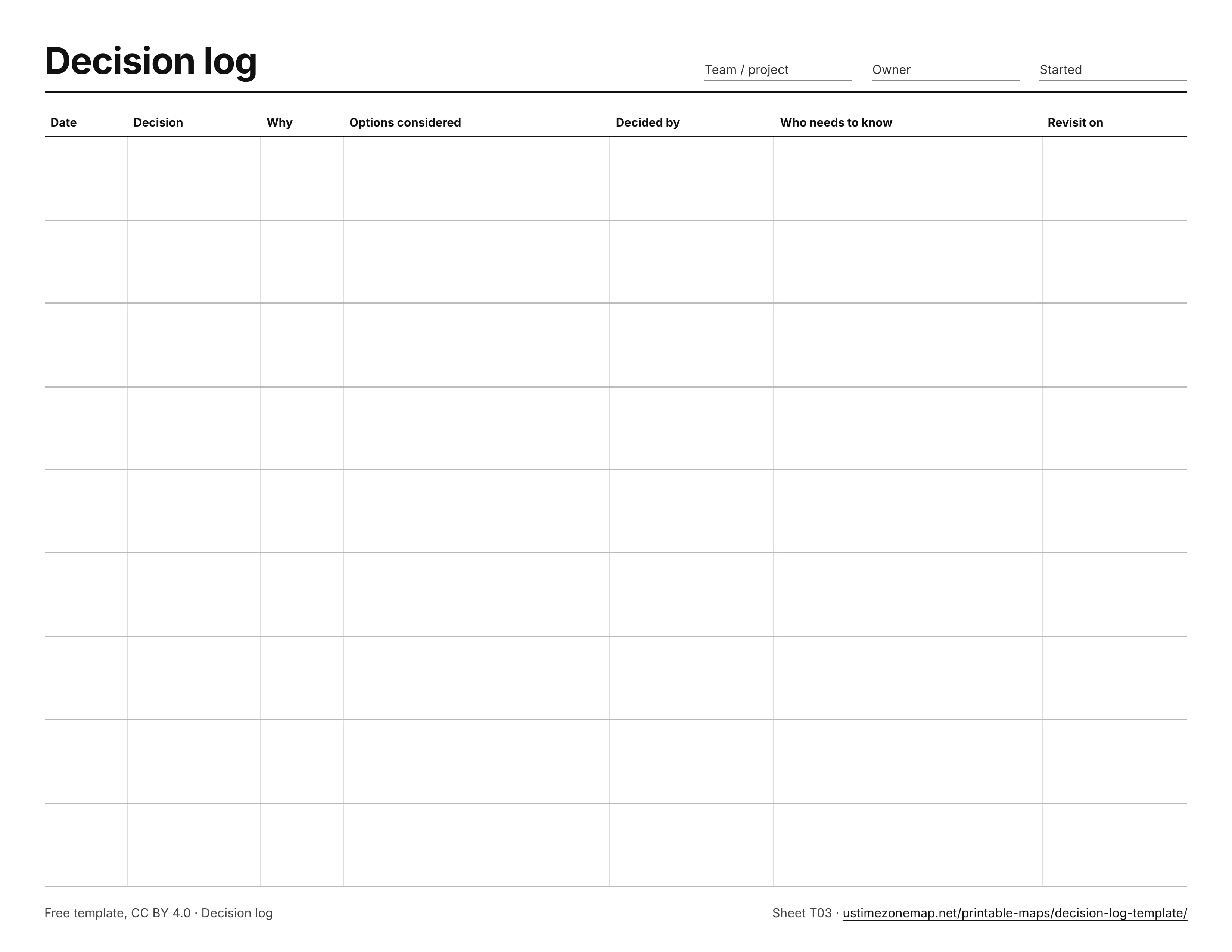
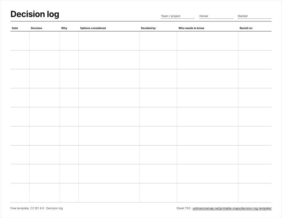 Decision log templateT03 · PDFImages: PNG 1080p · PNG 4K · JPG 1080p · Print JPG 300 dpi
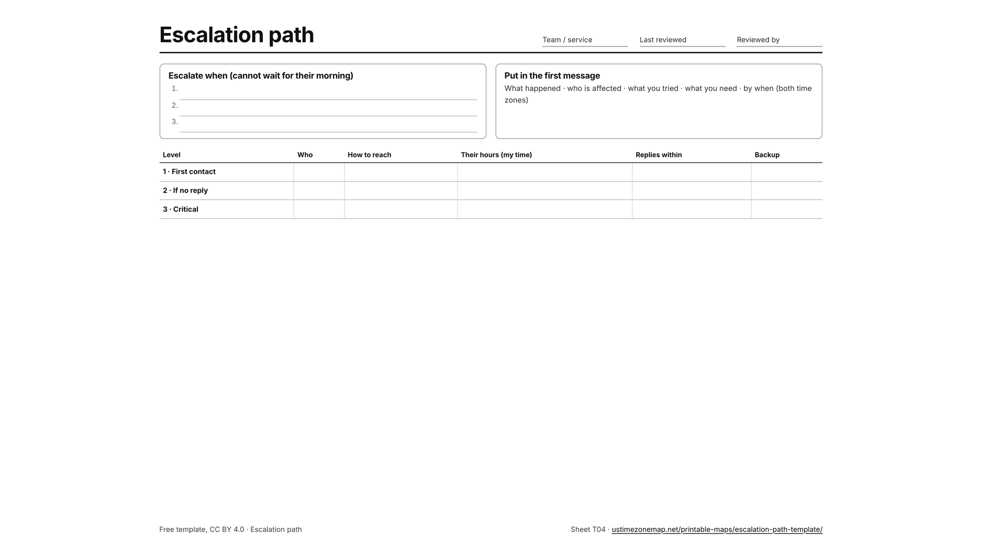
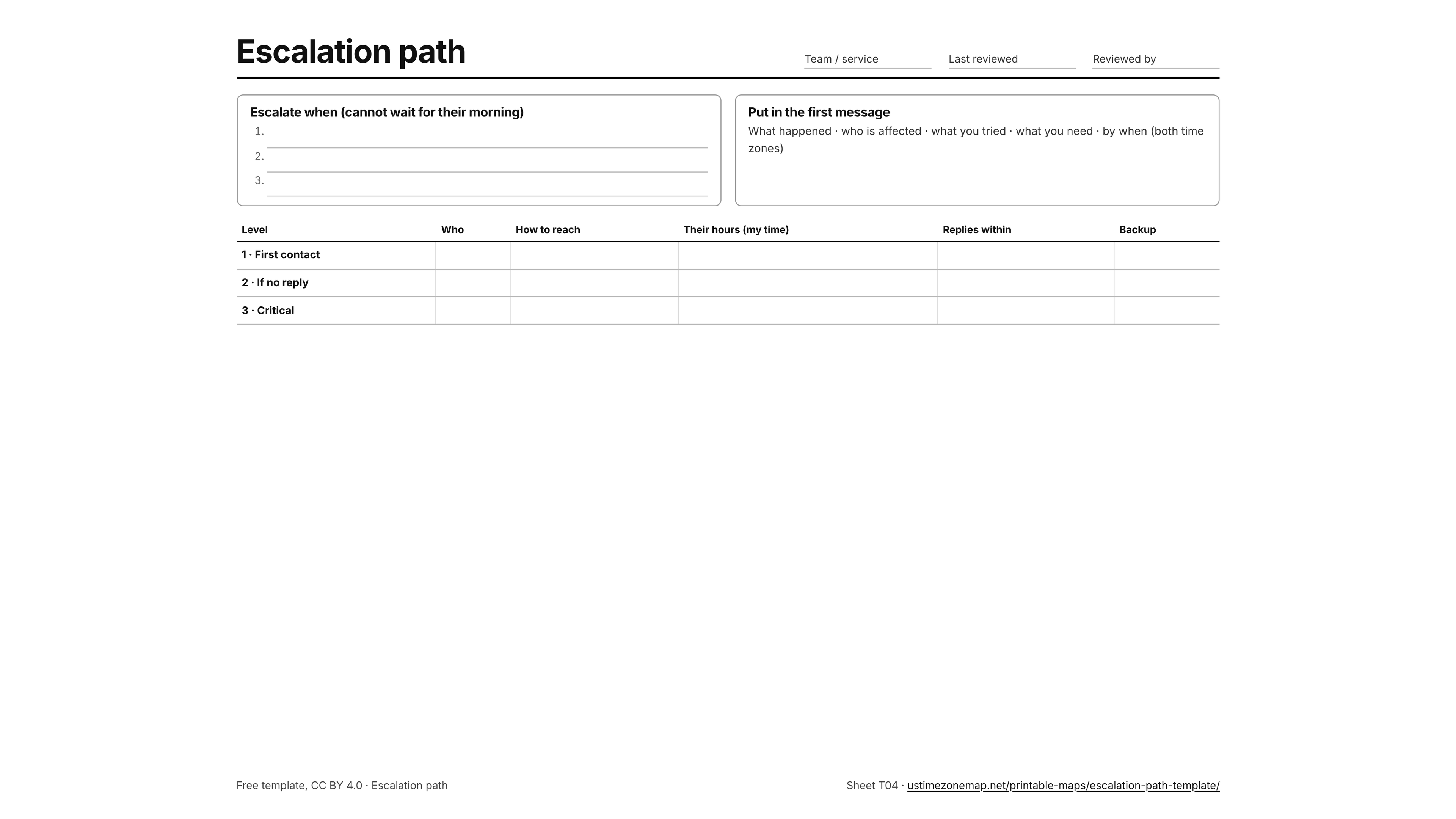
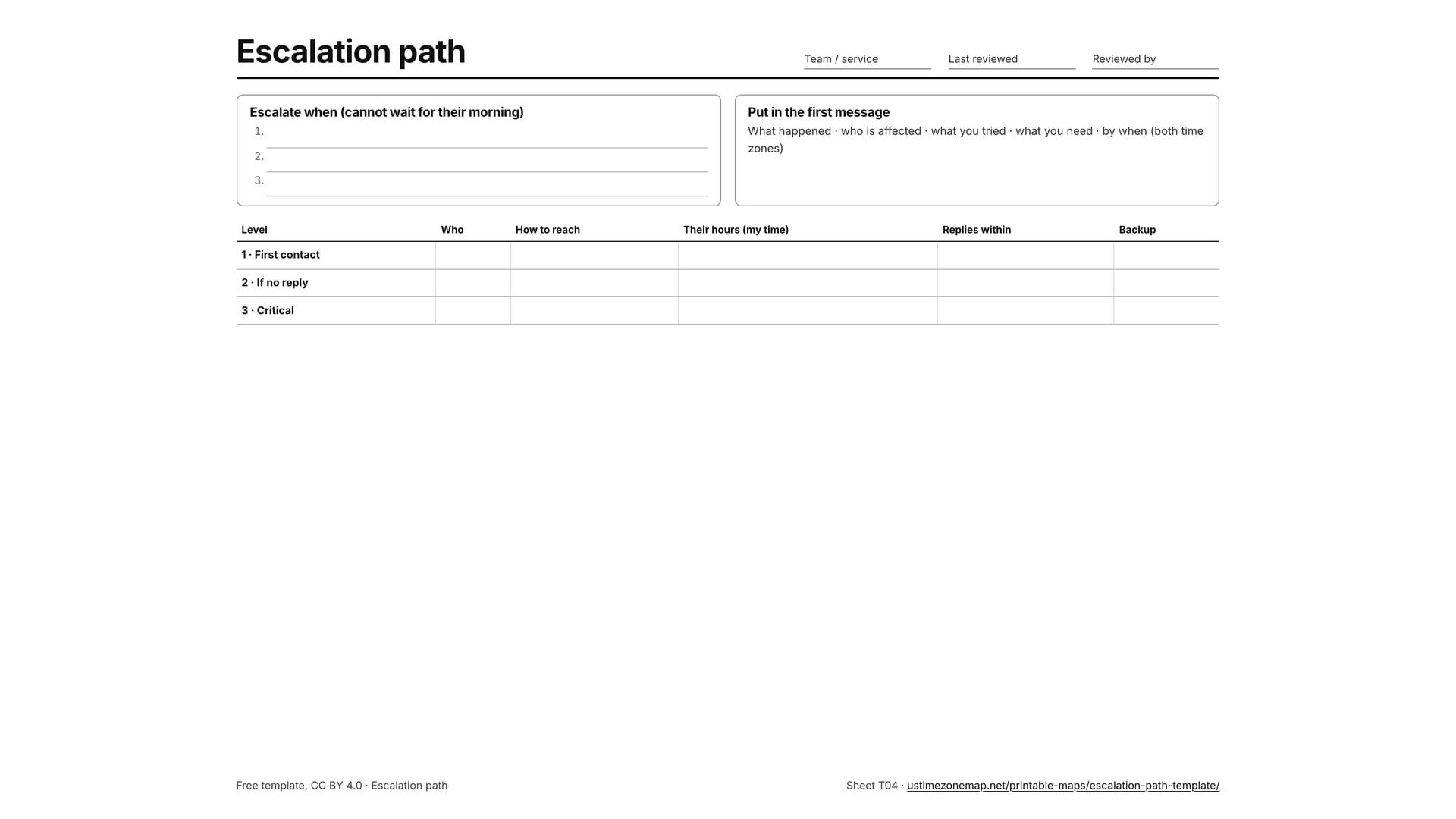
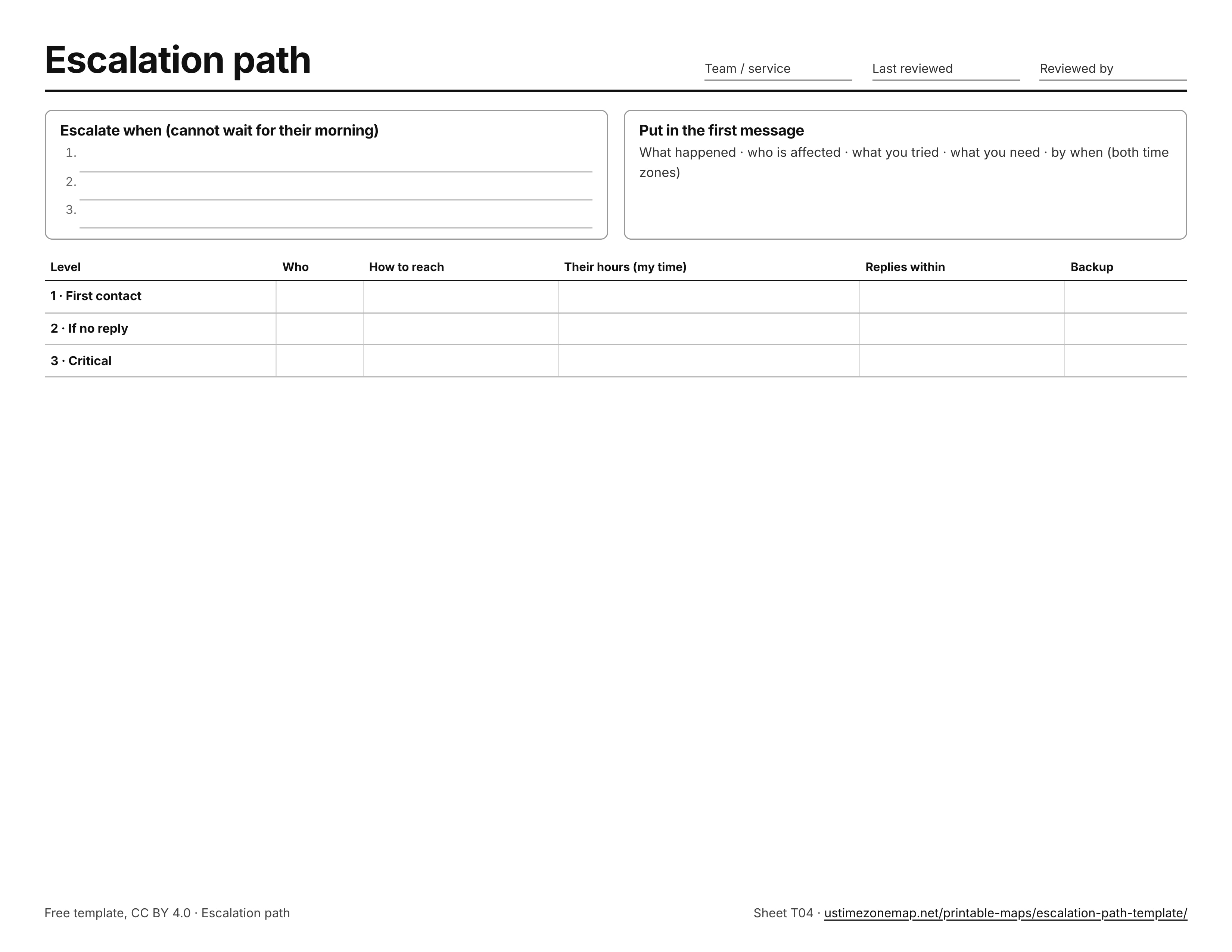
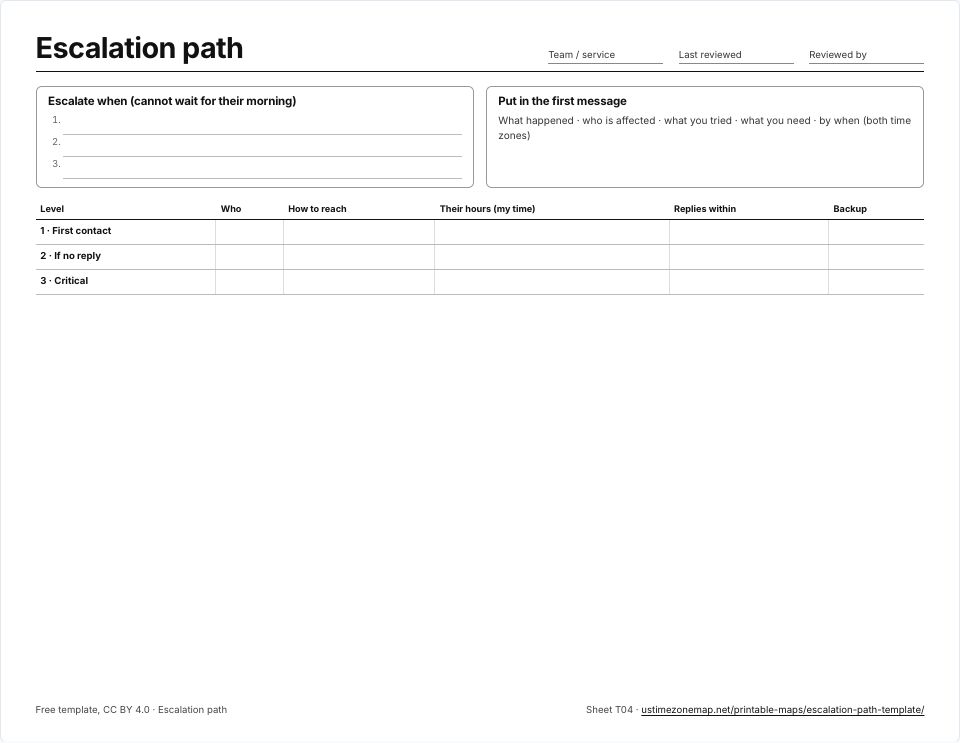 Escalation path templateT04 · PDFImages: PNG 1080p · PNG 4K · JPG 1080p · Print JPG 300 dpi
Which sheet should I print?
For a desk or a wall, start with the colour map with state names: it is the most readable at a glance. Use the abbreviations version when space is tight, and the black and white version for class sets, because it copies cleanly without colour ink. The one-zone sheets suit a lesson on a single zone or a quick answer to “which states are in Central Time?”, since each lists the states that are whole, mostly or partly in it. For quizzes, the blank time zone map checks that students know the zones, and the numbered blank map (with its answer key on page two) checks that they know the states.
Need the world instead? The printable world time zone mapprints all 65 world zones. For the time right now, use the live US time zone map.
Frequently asked questions
What size are the printable maps?
Every sheet is US Letter in landscape (11 × 8.5 in) and is a vector PDF, so it prints sharp on A4 with “Fit to page” and on larger poster paper.
Do the maps show daylight saving time?
Yes. The coloured sheets give each zone’s standard offset and its daylight saving offset, and hatch the places that do not change their clocks: Arizona, Hawaii and Puerto Rico.