North America Time Zone Map
The “time zone map of North America” query, answered: the US and Canada across their six zones plus Mexico, which abolished daylight saving in 2022. All city clocks tick from your device.
Swipe to see all time zones
Printed Sat, Oct 31, 2026
Zones in this view
| Zone | IANA | Standard | Daylight | Abbr |
|---|---|---|---|---|
| Pacific | America/Los_Angeles | UTC−8 | UTC−7 (PDT) | PST/PDT |
| Mountain | America/Denver | UTC−7 | UTC−6 (MDT) | MST/MDT |
| Central | America/Chicago | UTC−6 | UTC−5 (CDT) | CST/CDT |
| Eastern | America/New_York | UTC−5 | UTC−4 (EDT) | EST/EDT |
| Mexico | America/Mexico_City | UTC−6 | — (no DST) | CST |
Good to know
The US gets a dedicated US time zone map with state boundaries; Canada and Mexico have their own pages in this cluster.
Planning cross-border calls: because most of Canada uses the same DST dates as the US, most US–Canada hour gaps are constant year-round (e.g., New York to Toronto); Saskatchewan and Yukon, which don’t change clocks, are the exceptions. The exception is Mexico: since the 2022 DST abolition, US–Mexico City gaps shift by a season. For any specific pair, the time converter computes the exact offset on the day you’re scheduling.
Where the offsets come from
Every offset on this map is counted from Greenwich. Five dates in how the world agreed on that.
Before 1883
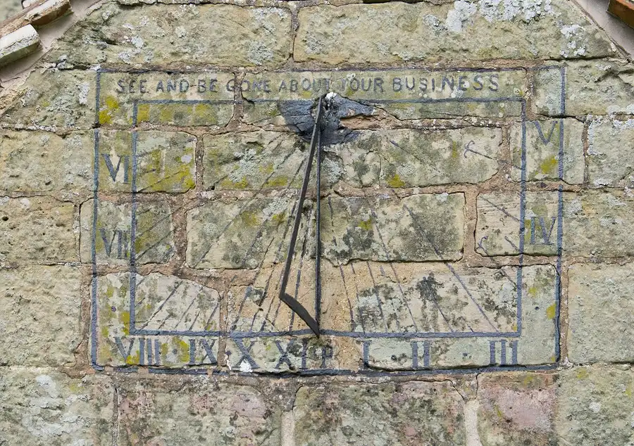
Sun time
Every town set its clocks by the sun overhead, so noon in Boston came about twelve minutes before noon in New York, and railroads juggled dozens of local times.
November 18, 1883
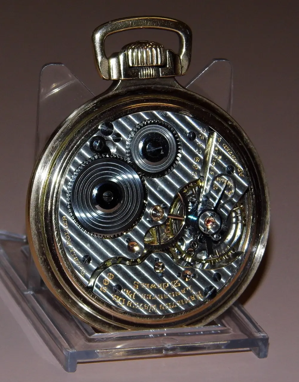
Railroad time
U.S. and Canadian railroads switched to standard zones an hour apart, set from Greenwich. Many towns reset their clocks the same day, remembered as “the day of two noons.”

1884
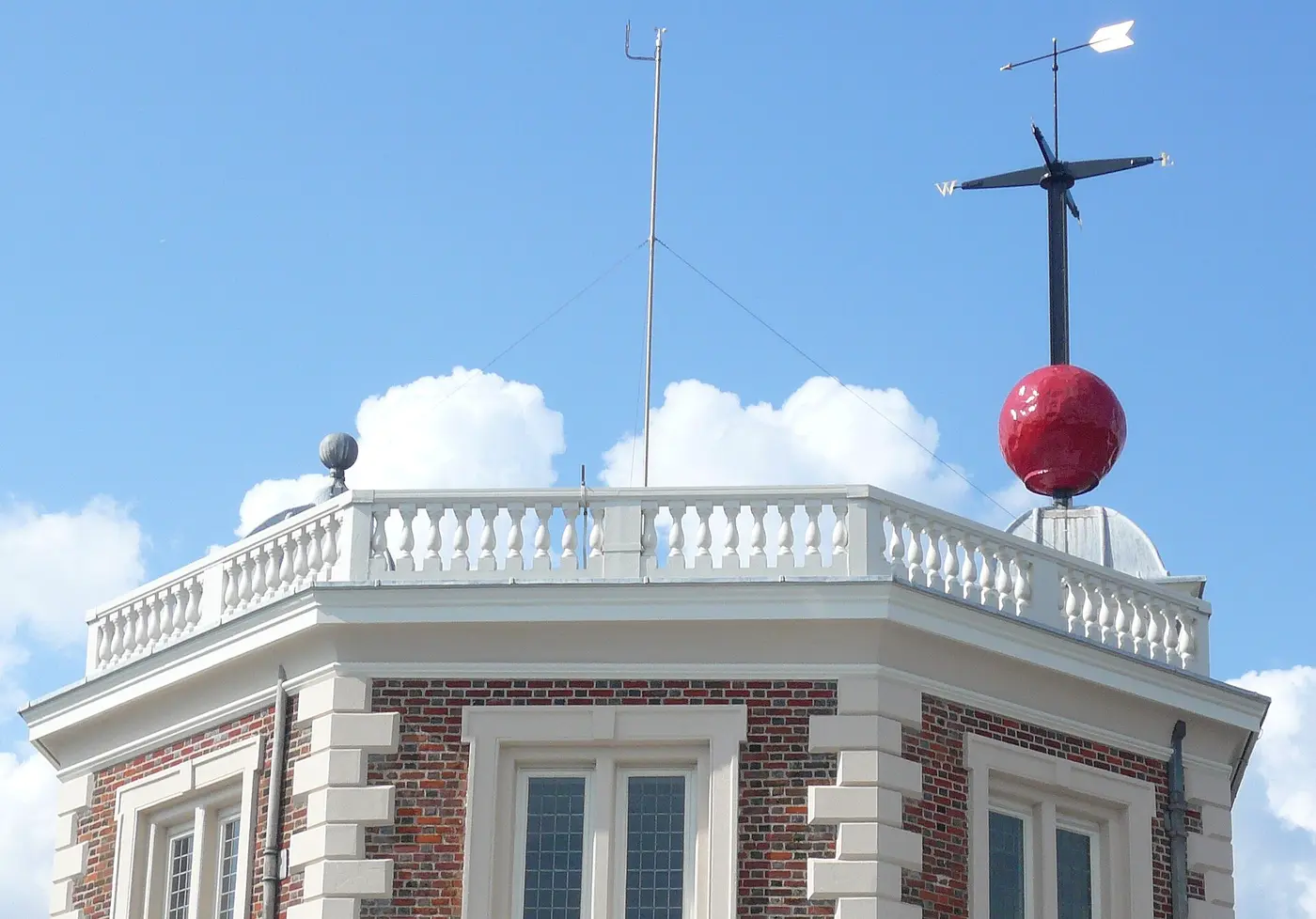
Greenwich
Delegates at the International Meridian Conference in Washington chose the Greenwich meridian as longitude zero — the line every UTC offset on this site is counted from.
1918 and 1966
Time by law
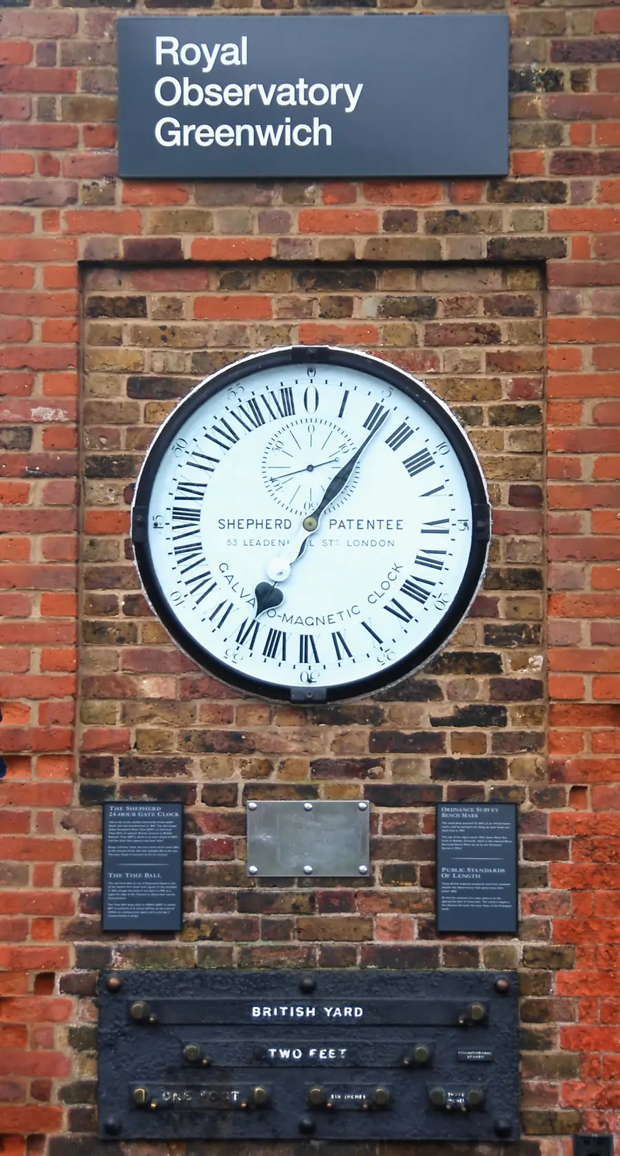
The Standard Time Act made the zones federal law in 1918. The Uniform Time Act of 1966 set common daylight-saving rules and let a state opt out, as Arizona and Hawaii do.
2026
Daylight saving
Since 2007 clocks spring forward on the second Sunday of March and fall back on the first Sunday of November: March 8 and November 1 this year.
Frequently asked questions
How many time zones does North America have?
The U.S. uses six (Hawaii–Aleutian through Eastern), Canada six (Pacific through Newfoundland), and Mexico four. Together they span from UTC−10 in Hawaii to UTC−3:30 in Newfoundland, plus Greenland further east.
Does Mexico observe daylight saving time?
Most of Mexico stopped observing DST in 2022 and is on CST (UTC−6) year-round; border municipalities such as Tijuana, Ciudad Juárez, and Matamoros still switch on the U.S. dates.
How far apart are New York and Mexico City?
New York (Eastern) is 1–2 hours ahead of Mexico City (Central) in winter and summer respectively, because New York observes DST while Mexico (except some border cities) no longer does.
Sources: offsets and daylight saving rules from theIANA time zone database; zone shapes from Timezone Boundary Builder. See Data Sources for versions and limitations.