Eastern Time Zone Map
Eastern Time (EST UTC−5, EDT UTC−4) is the most populous U.S. zone — from Maine to Florida and across the Mid-Atlantic. Five states cross the Eastern/Central line: Florida, Indiana, Kentucky, Michigan, and Tennessee.
Daylight saving in 2026
Eastern Time moves from UTC−5 to UTC−4 for the summer. Kentucky is the most famous split — the eastern half is Eastern, the western half is Central.
Comparing a meeting across zones? The time converter applies each zone’s rules for the date you pick.
Live clocks in Eastern Time
- New York, NYEastern Time · UTC-42:08 PM
- Boston, MAEastern Time · UTC-42:08 PM
- Atlanta, GAEastern Time · UTC-42:08 PM
States in this zone
How the zones came to be
Five dates behind every clock on this page, from sundials to daylight saving.
Before 1883
Sun time
Every town set its clocks by the sun overhead, so noon in Boston came about twelve minutes before noon in New York, and railroads juggled dozens of local times.

November 18, 1883
Railroad time
U.S. and Canadian railroads switched to standard zones an hour apart, set from Greenwich. Many towns reset their clocks the same day, remembered as “the day of two noons.”

1884
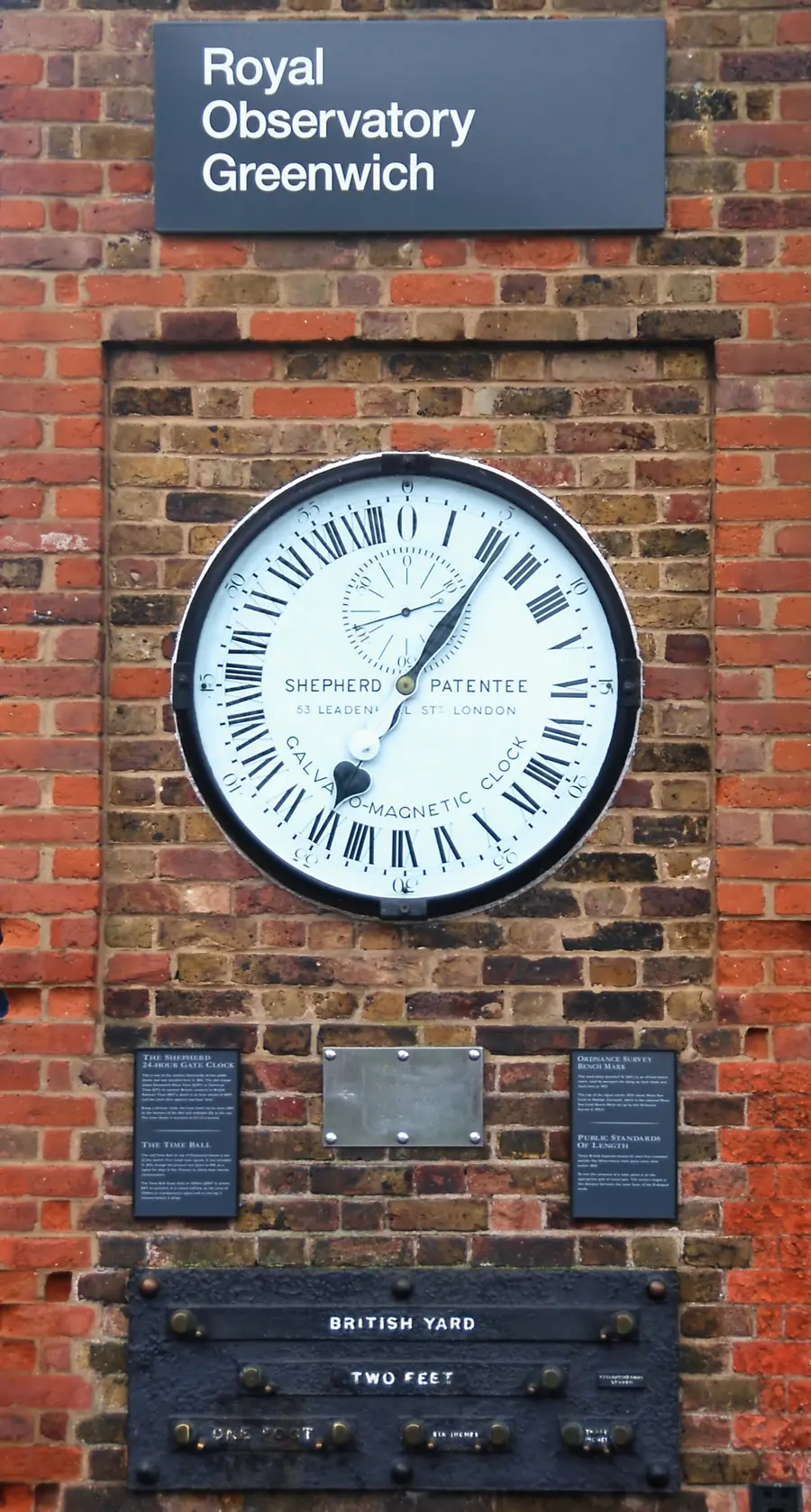
Greenwich
Delegates at the International Meridian Conference in Washington chose the Greenwich meridian as longitude zero — the line every UTC offset on this site is counted from.

1918 and 1966
Time by law
The Standard Time Act made the zones federal law in 1918. The Uniform Time Act of 1966 set common daylight-saving rules and let a state opt out, as Arizona and Hawaii do.

2026
Daylight saving
Since 2007 clocks spring forward on the second Sunday of March and fall back on the first Sunday of November: March 8 and November 1 this year.
Frequently asked questions
Which states are on Eastern Time?
17 states plus Washington, D.C. use it statewide — the whole East Coast from Maine to Georgia, plus Ohio, Pennsylvania, West Virginia, and Vermont among them — and 5 more use it in part: Florida, Indiana, Kentucky, Michigan, and Tennessee.
Does Indiana have Eastern and Central time?
Yes. 80 of Indiana’s 92 counties are Eastern; 12 counties — six near Chicago (including Gary) and six around Evansville — are on Central Time.
Is New York City EST or EDT?
Both, by season: EST (UTC−5) in winter, EDT (UTC−4) from March 8 to November 1, 2026.
Sources: zone boundaries from the U.S. Department of Transportation’s time zone regulations (49 CFR Part 71); offsets and daylight saving rules from the IANA time zone database. See Data Sources for how this site uses them.